MyTopo
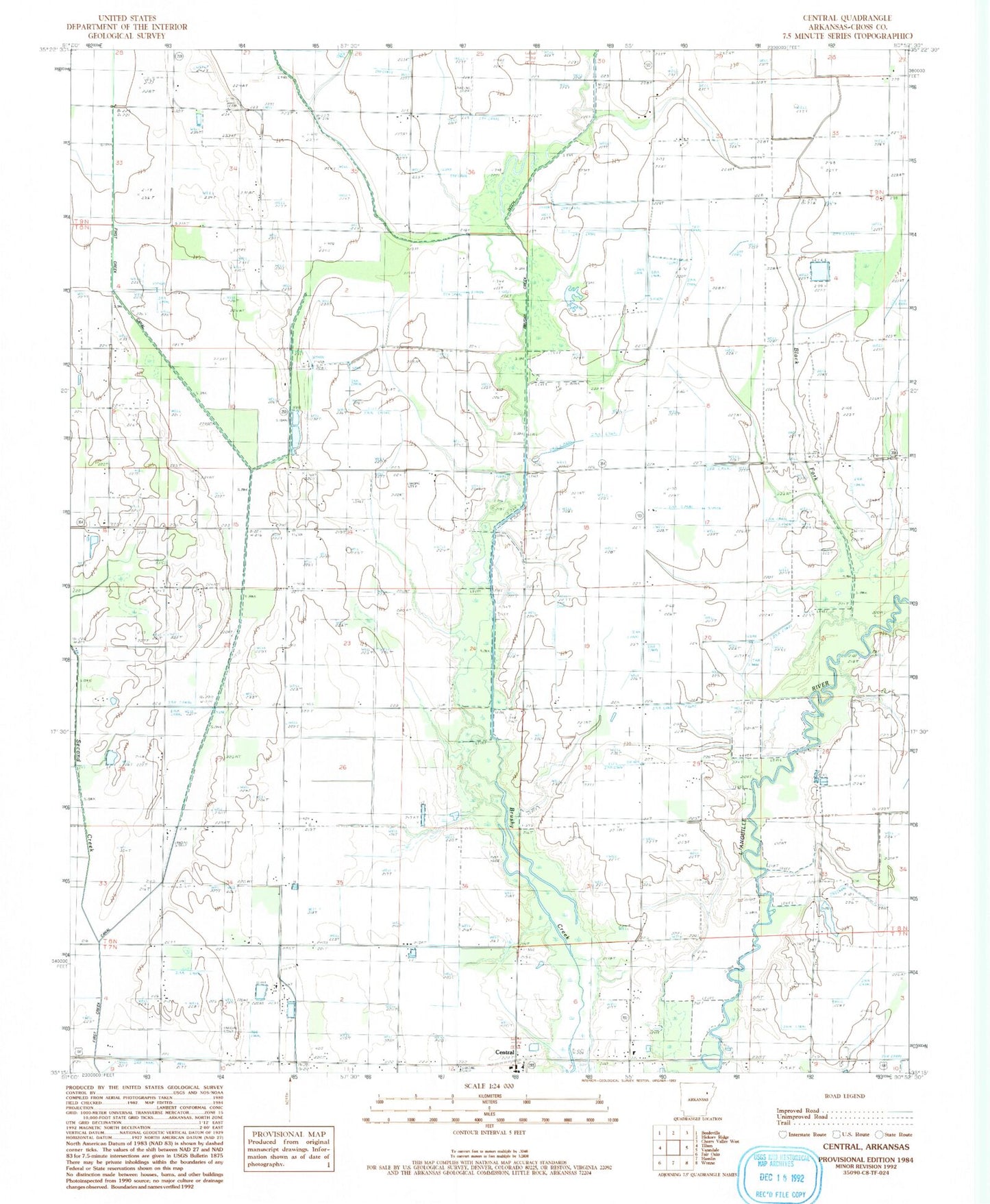
Classic USGS Central Arkansas 7.5'x7.5' Topo Map
Regular price
$16.95
Regular price
Sale price
$16.95
Unit price
per
Couldn't load pickup availability
Historical USGS topographic quad map of Central in the state of Arkansas. Map scale may vary for some years, but is generally around 1:24,000. Print size is approximately 24" x 27"
This quadrangle is in the following counties: Cross.
The map contains contour lines, roads, rivers, towns, and lakes. Printed on high-quality waterproof paper with UV fade-resistant inks, and shipped rolled.
Contains the following named places: Central, Central United Methodist Church, First Creek Canal, Hawk Cemetery, Hess Strip, Johnson Church, Lake View Church, Lewis Church, Second Creek, Slocum Cemetery, Tilton Church, Tilton School, Township of Brushy Lake, Union Grove Cemetery, Walker School