MyTopo
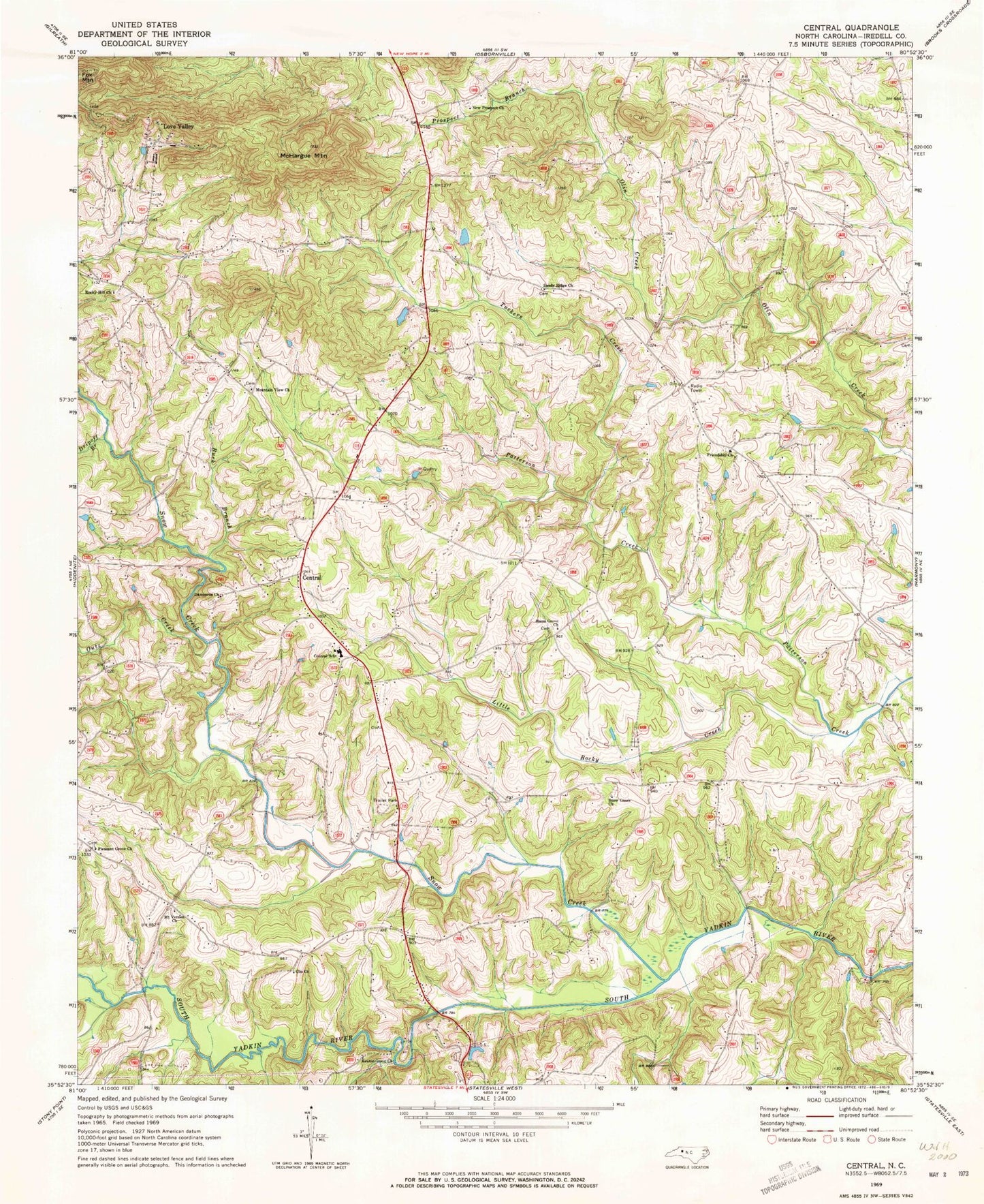
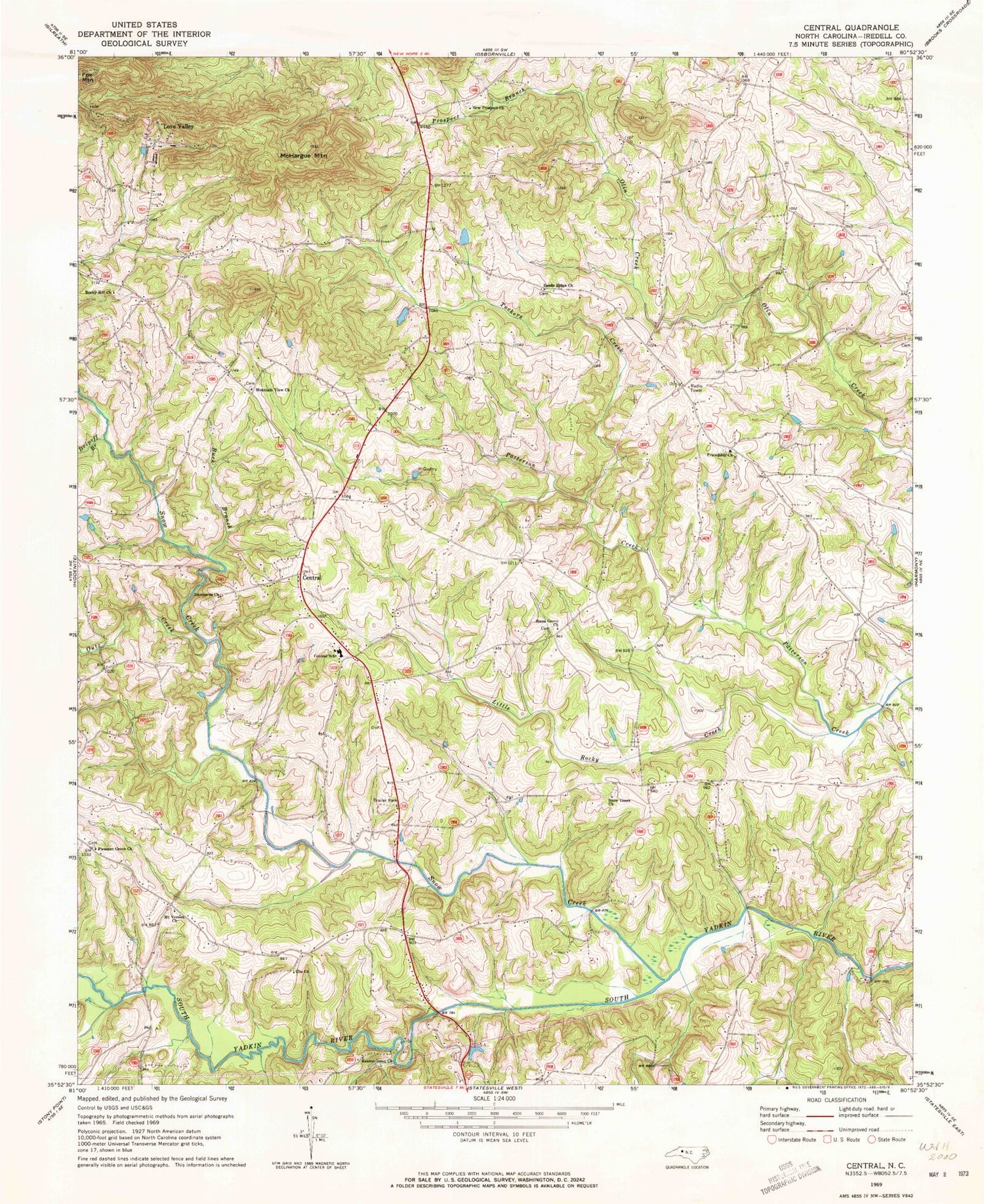
Classic USGS Central North Carolina 7.5'x7.5' Topo Map
Couldn't load pickup availability
Historical USGS topographic quad map of Central in the state of North Carolina. Map scale may vary for some years, but is generally around 1:24,000. Print size is approximately 24" x 27"
This quadrangle is in the following counties: Iredell.
The map contains contour lines, roads, rivers, towns, and lakes. Printed on high-quality waterproof paper with UV fade-resistant inks, and shipped rolled.
Contains the following named places: Bailey Bridge, Bailey Hills, Buck Branch, Central, Central Elementary School, Central Volunteer Fire Department, Clio Church, Damascus Church, Dobson Dairy Farm, Dripoff Branch, Fox Mountain, Friendship Church, Hams Grove Church, Keaton Grove Church, Little Rocky Creek, Love Valley, McHargue Mountain, Mount Vernon Church, Mountain View Church, New Prospect Church, Outz Creek, Pleasant Grove Church, Prospect Branch, Raeford Rhyne Airpark, Rocky Hill Church, Sandy Ridge Church, Sharp, Snow Creek, Snow Creek Methodist Church, Town of Love Valley, Township of Sharpesburg, Tuckers Creek, Wilson Godfrey Dam, Windy Hill Acres Lake Dam, Windy Hills Acres Lake


