MyTopo
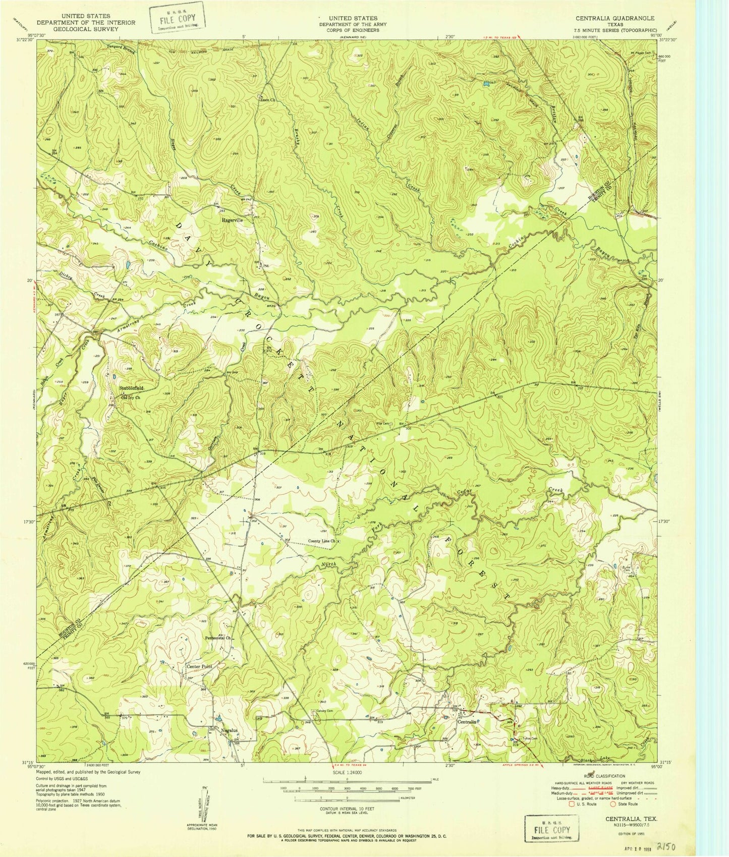
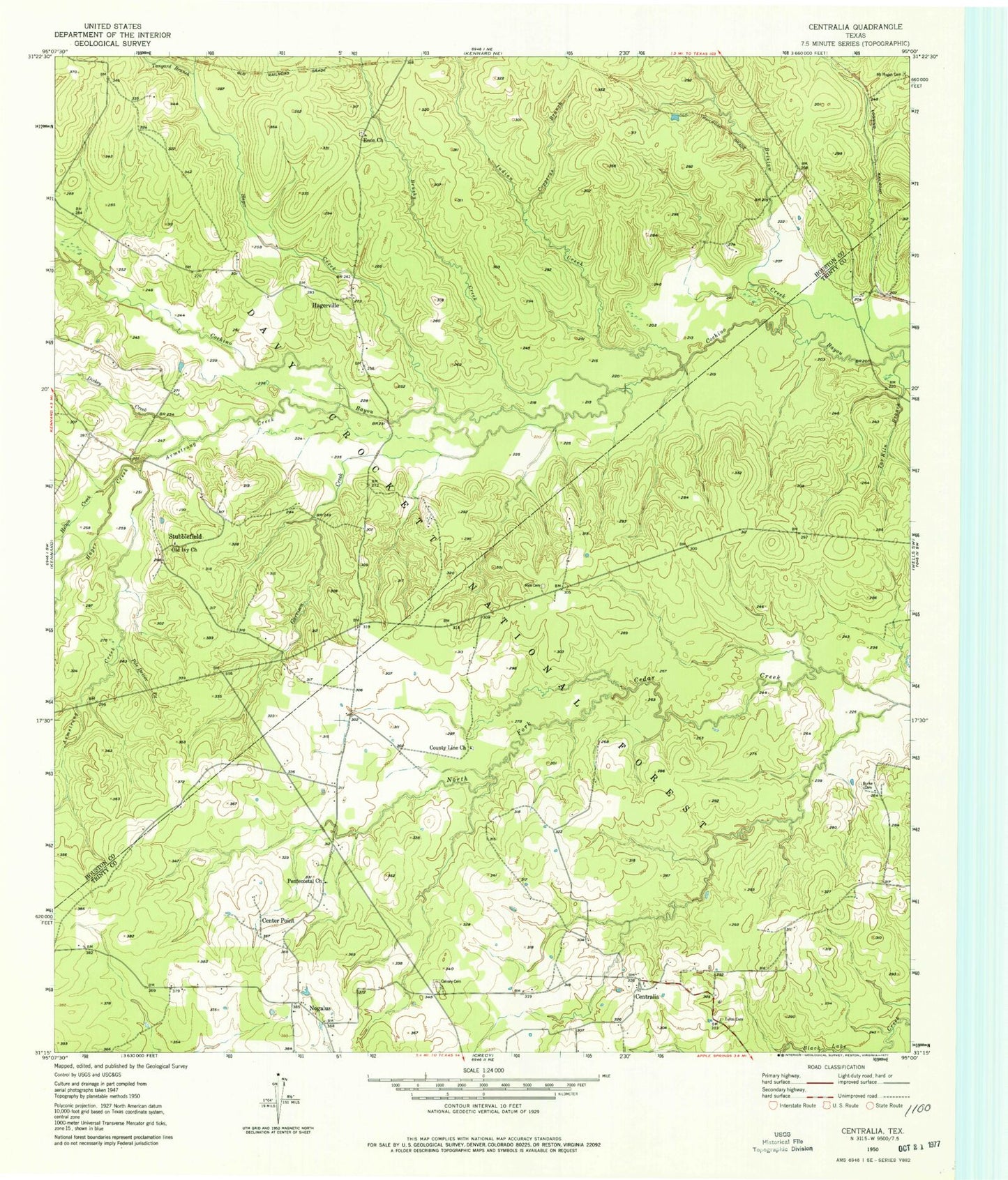
Classic USGS Centralia Texas 7.5'x7.5' Topo Map
Couldn't load pickup availability
Historical USGS topographic quad map of Centralia in the state of Texas. Map scale may vary for some years, but is generally around 1:24,000. Print size is approximately 24" x 27"
This quadrangle is in the following counties: Houston, Trinity.
The map contains contour lines, roads, rivers, towns, and lakes. Printed on high-quality waterproof paper with UV fade-resistant inks, and shipped rolled.
Contains the following named places: 4 - C National Recreation Hiking Trail, Armstrong Creek, Brown Lee Hill, Brushy Creek, Burke Cemetery, Calvary Cemetery, Center Point, Centralia, Centralia Post Office, Colbert Branch School, Copperas Branch, County Line Church, Davy Crockett National Forest, Dickey Creek, Enon Cemetery, Enon Church, Enon School, Garrison Creek, Hager Creek, Hagerville, Hagerville Baptist Church, Hagerville Post Office, Hagerville School, Helton Creek, Indian Creek, Ivie Baptist Church Cemetery, Lundy Post Office, Lundy School, Mount Pisgah Cemetery, Nogalus, Old Ivy Baptist Church, Pentecostal Church, Pile Driver Creek, Pisgah Cemetery, Rice Cemetery, Stubblefield, Stubblefield Baptist Church, Stubblefield School, Sugar Mounds, Tanyard Branch, Tar Kiln Branch, Tullos Cemetery, Woodman of the World Lodge


