MyTopo
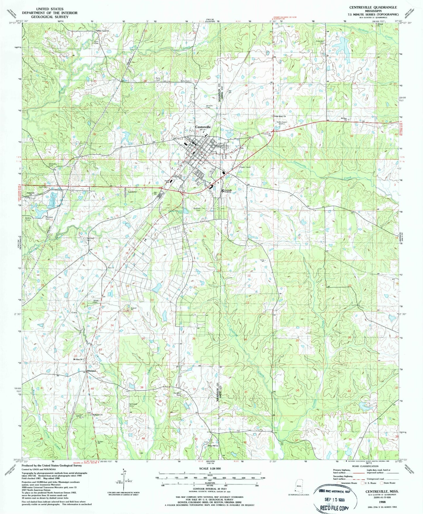
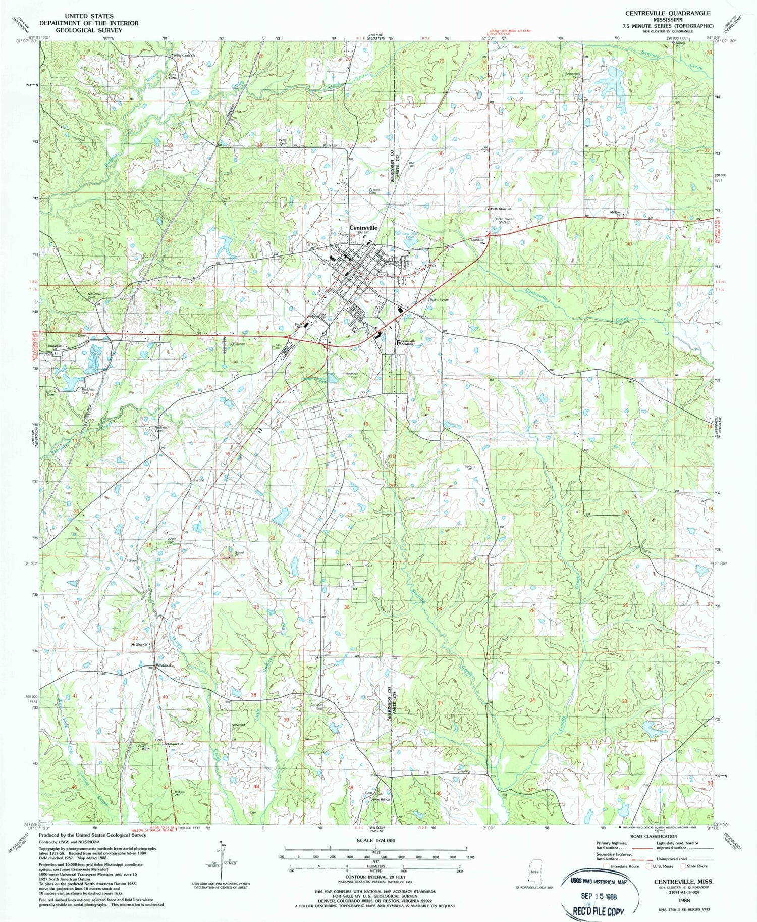
Classic USGS Centreville Mississippi 7.5'x7.5' Topo Map
Couldn't load pickup availability
Historical USGS topographic quad map of Centreville in the state of Mississippi. Map scale may vary for some years, but is generally around 1:24,000. Print size is approximately 24" x 27"
This quadrangle is in the following counties: Amite, Wilkinson.
The map contains contour lines, roads, rivers, towns, and lakes. Printed on high-quality waterproof paper with UV fade-resistant inks, and shipped rolled.
Contains the following named places: Anderson Cemetery, Barch Hill Church, Boatner - McGehee Cemetery, Boatner School, Carruths Store, Centreville, Centreville Academy, Centreville Cemetery, Centreville Police Department, Centreville Post Office, Centreville Volunteer Fire Department, Elysian Fields, Emberhill Cemetery, Emberhill Church, Embre Cemetery, Field Memorial Community Hospital, Finch Elementary School, Gaulden Cemetery, Hamilton Cemetery, Henry W Darden Lake Dam, Holly Grove Cemetery, Holly Grove Church, Huff Cemetery, James Anderson Cemetery, Lorio Lake Dam, Lyons Lake Dam, McGraw Cemetery, Mount Olive Baptist Church Cemetery, Mount Olive Church, Mount Zion Cemetery, Mount Zion Church, Mount Zion CME Church Cemetery, Nathaniel Cemetery, Nathaniel Church, Norwood Cemetery, Oaklawn Cemetery, Old Centreville, Packnett Cemetery, Petty Cemetery, Redhead Cemetery, Rose Hill, Sims Cemetery, Smith Creek, Snow Hill Church, Spears Cemetery, Stafford Cemetery, Stafford Creek, Town of Centreville, West Fork Little Comite Creek, Whitaker, White Castle Church, White Cemetery, William Winans Attendance Center, Winans Cemetery, WSLL-AM (Centreville), WZZB-FM (Centreville)


