MyTopo
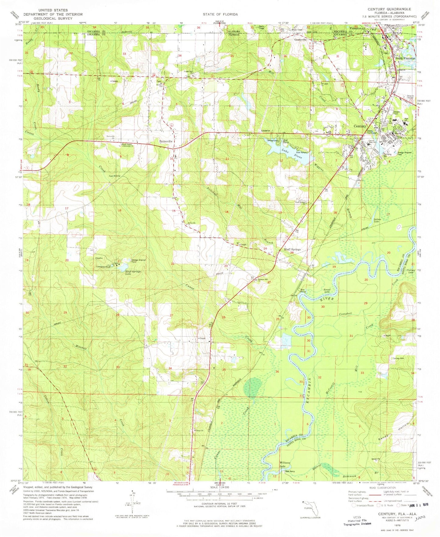
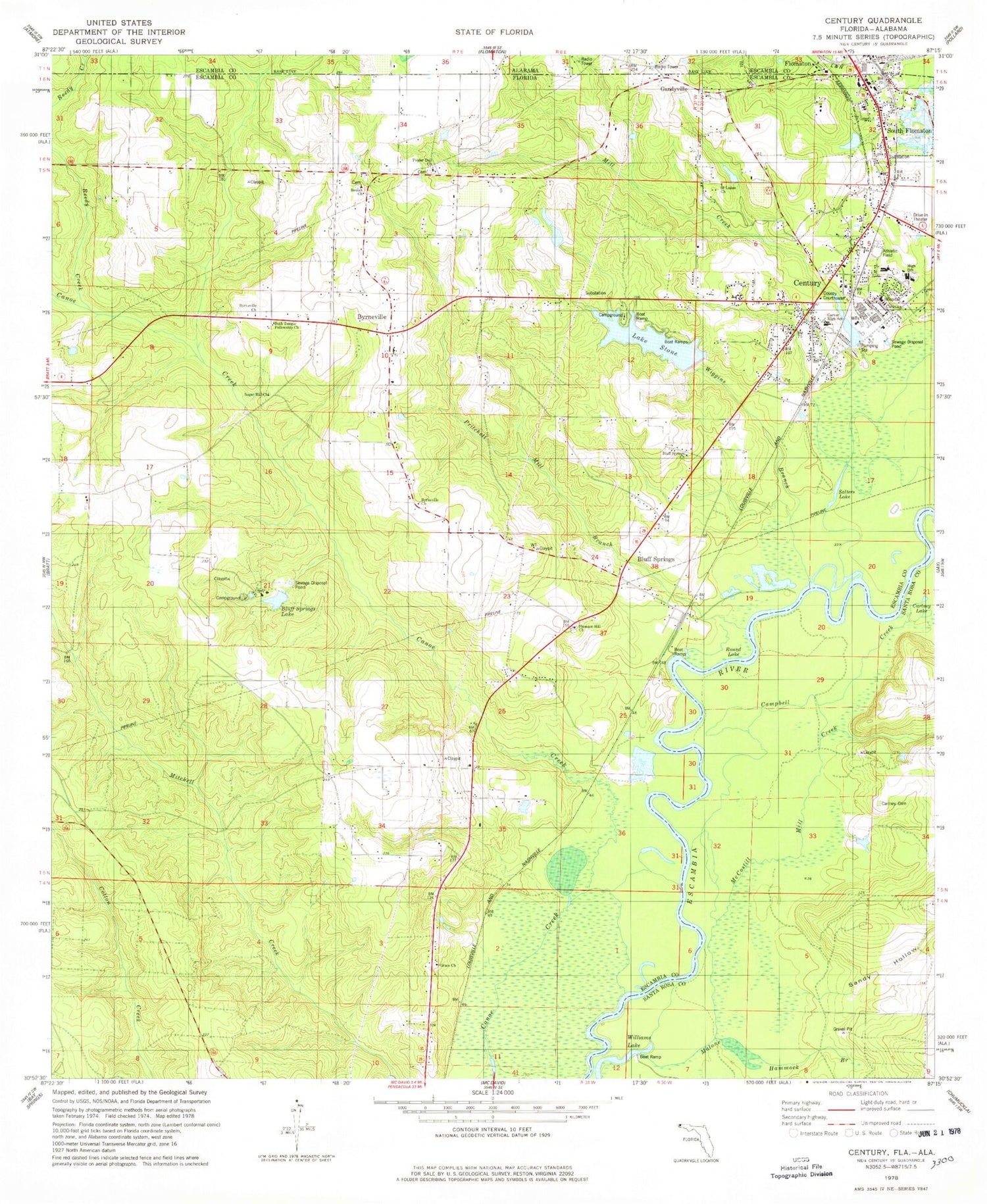
Classic USGS Century Florida 7.5'x7.5' Topo Map
Couldn't load pickup availability
Historical USGS topographic quad map of Century in the state of Florida. Map scale may vary for some years, but is generally around 1:24,000. Print size is approximately 24" x 27"
This quadrangle is in the following counties: Escambia, Santa Rosa.
The map contains contour lines, roads, rivers, towns, and lakes. Printed on high-quality waterproof paper with UV fade-resistant inks, and shipped rolled.
Contains the following named places: Beth Temple Fellowship Church, Beulah Church, Bluff Springs, Bluff Springs Church, Bluff Springs Lake, Byrnesville Church, Byrneville, Byrneville Elementary School, Campbell Creek, Carlney Cemetery, Carlney Lake, Carver High School, Century, Century Correctional Institution, Century Division, Century Elementary School, Century Memorial Hospital, Century Post Office, Century Senior High School, Christian School, Escambia County Fire and Rescue Station 5 Century, Escambia County Sheriff's Office - Precinct 6 Century, Gandyville, Grace Church, Lake Stone, Malone Hammock Branch, McCostill Mill Creek, Mill Creek, Mitchell Creek, Pleasant Hill Church, Poplar Dell Church, Pritchell Mill Branch, Reedy Creek, Round Lake, Saint Lukes Church, Salters Lake, Sandy Hollow, South Flomaton, Sugar Hill Church, Tarzan Railroad Station, Town of Century, Wiggins Branch, Williams Lake, ZIP Code: 32535


