MyTopo
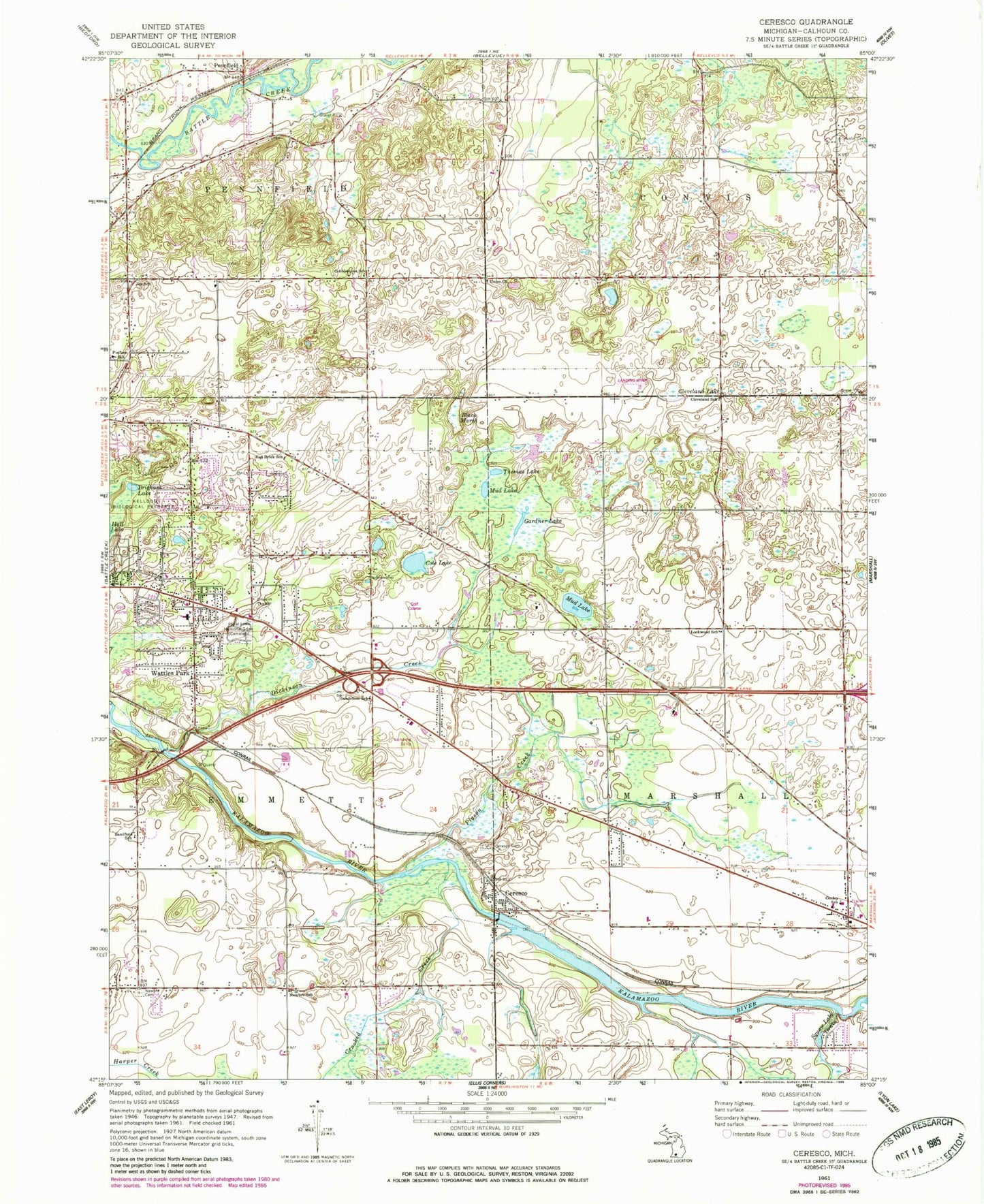
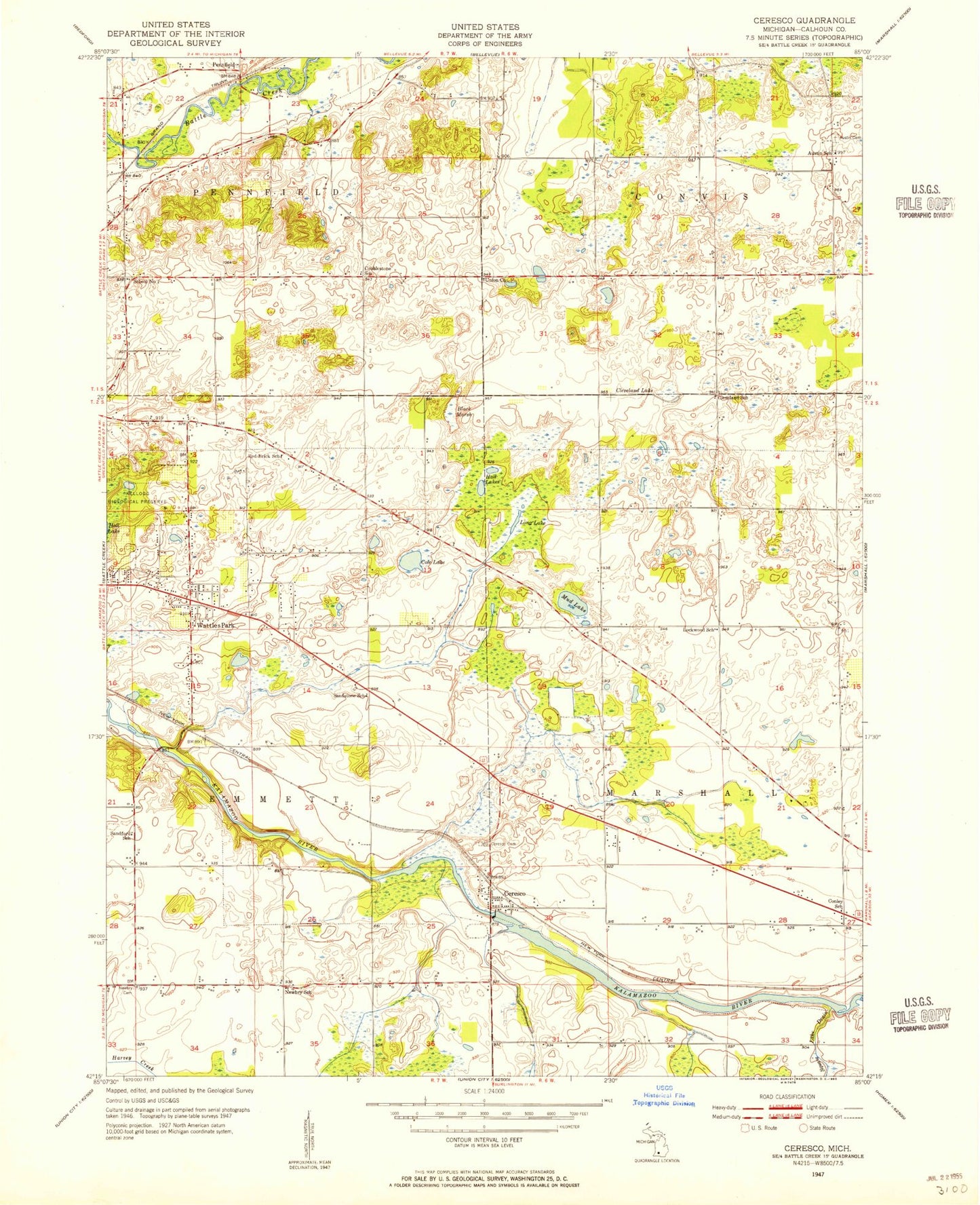
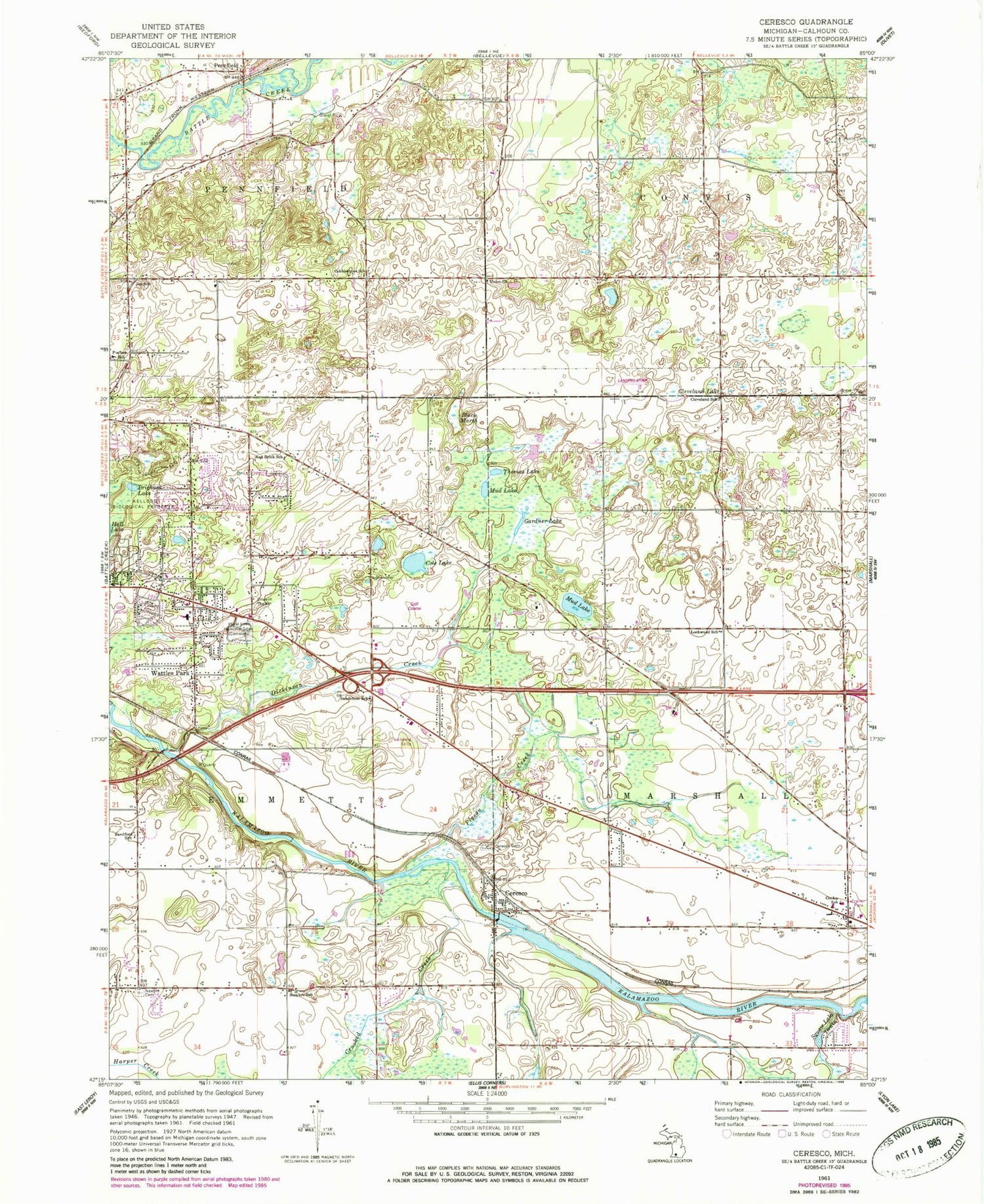
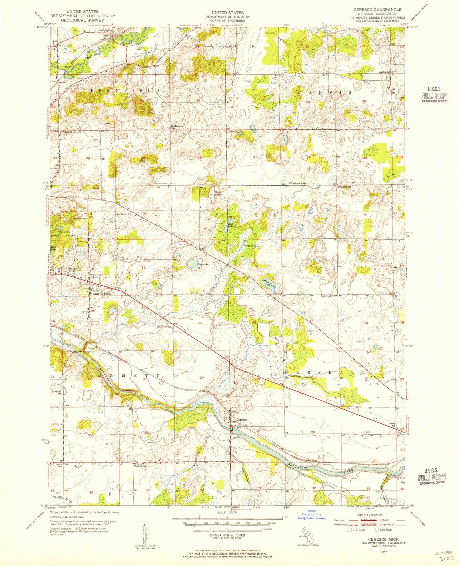
Classic USGS Ceresco Michigan 7.5'x7.5' Topo Map
Couldn't load pickup availability
Historical USGS topographic quad map of Ceresco in the state of Michigan. Map scale may vary for some years, but is generally around 1:24,000. Print size is approximately 24" x 27"
This quadrangle is in the following counties: Calhoun.
The map contains contour lines, roads, rivers, towns, and lakes. Printed on high-quality waterproof paper with UV fade-resistant inks, and shipped rolled.
Contains the following named places: Austin Cemetery, Battle Creek Friends Church, Black Marsh, Brigham Lake, Bryant Farm Historical Marker, Ceresco, Ceresco Baptist Church, Ceresco Cemetery, Ceresco Post Office, Ceresco Station, Charter Township of Emmett, Cleveland Lake, Cleveland School, Cobblestone School, Cole Lake, Conley School, Crooked Creek, Dickinson Creek, Emmett Township Department of Public Safety Substation, Floral Lawn Memorial Gardens, Gardner Lake, Harmony Missionary Baptist Church, Kellogg Biological Preserve, Lockwood Family Historical Marker, Lockwood House Historical Marker, Lockwood School, Marshall Township Fire Department, Mud Lake, Nazarene First Church, Newbre Cemetery, Newbre School, Oakland Hills Golf Club, Penfield Post Office, Pennfield, Pennfield Station, Pennfield Township Fire Department Station 2, Pigeon Creek, Pine Grove Mennonite Church, Poulsen School, Red Brick School, Sandford School, Sandstone Cemetery, Sandstone School, Sunrise Mobile Home Park, Thomas Lake, Township of Marshall, Union Church, Victory Baptist Church, Wattles Park, Wattles Park Baptist Church, Wattles Park Elementary School, Wheatfield Post Office, White's Station, ZIP Code: 49014