MyTopo
Classic USGS Cerro Alesna New Mexico 7.5'x7.5' Topo Map
Couldn't load pickup availability
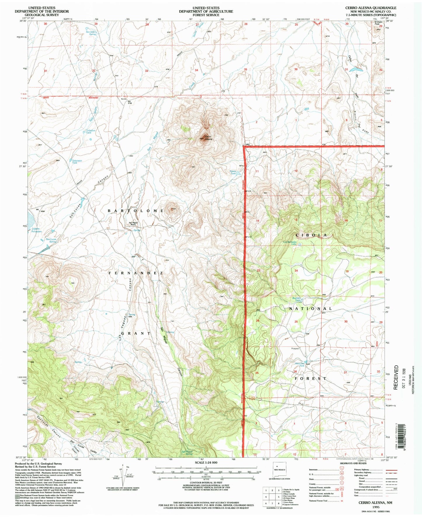
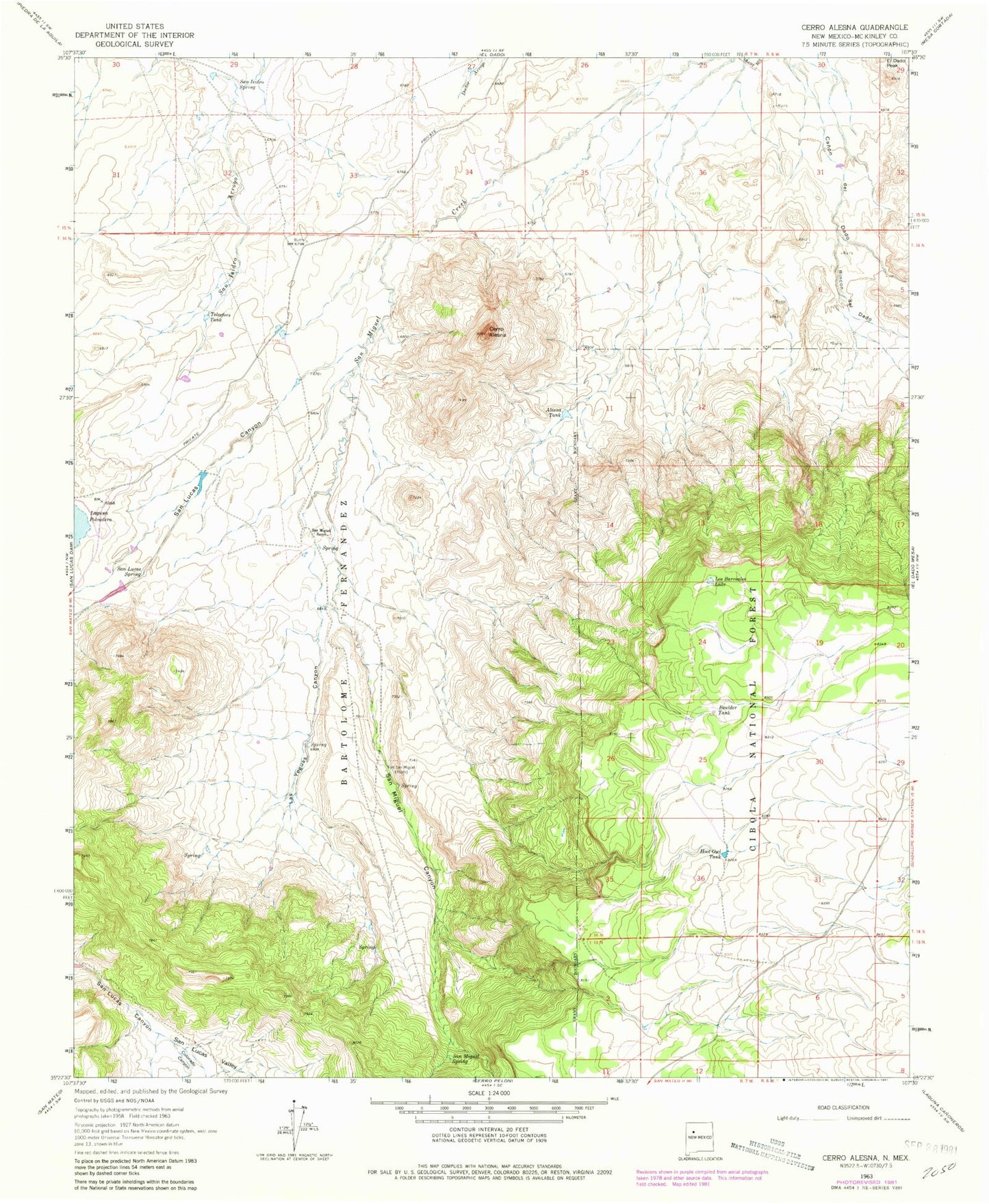
Historical USGS topographic quad map of Cerro Alesna in the state of New Mexico. Map scale may vary for some years, but is generally around 1:24,000. Print size is approximately 24" x 27"
This quadrangle is in the following counties: McKinley.
The map contains contour lines, roads, rivers, towns, and lakes. Printed on high-quality waterproof paper with UV fade-resistant inks, and shipped rolled.
Contains the following named places: Alesna Tank, Bartolome Fernandez Grant, Boulder Tank, Cerro Alesna, Cerro Spring, Colorado Canyon, El Dado Peak, Fort Miguel Ruins Spring, Hoot Owl Tank, Las Yeguas Canyon, Los Barreales Lake, Rincon del Dado, San Isidro Spring, San Lucas Canyon, San Lucas Spring, San Lucas Valley, San Miguel Canyon, San Miguel Ranch, San Miguel Spring, Sap Hole Spring, Telesfors Tank, Television Tank