MyTopo
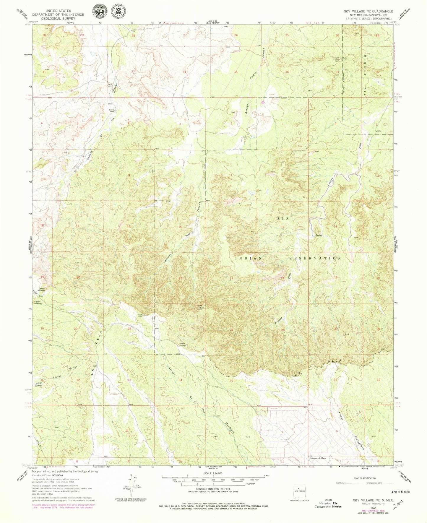
Classic USGS Cerro Conejo New Mexico 7.5'x7.5' Topo Map
Regular price
$16.95
Regular price
Sale price
$16.95
Unit price
per
Couldn't load pickup availability
Historical USGS topographic quad map of Cerro Conejo in the state of New Mexico. Map scale may vary for some years, but is generally around 1:24,000. Print size is approximately 24" x 27"
This quadrangle is in the following counties: Sandoval.
The map contains contour lines, roads, rivers, towns, and lakes. Printed on high-quality waterproof paper with UV fade-resistant inks, and shipped rolled.
Contains the following named places: Cerrito Picacho, Cerro Conejo, Chavez Mine, Garcia Prospect, La Ceja, Laguna de Baca, Marez Prospect, RWP-10 Water Well, RWP-4 Water Well, San Ysidro Mine, Sellers Prospect, Tenorio Ranch, ZIA 0200-2 Water Well