MyTopo
Classic USGS Cerro De La Campana SE New Mexico 7.5'x7.5' Topo Map
Regular price
$16.95
Regular price
Sale price
$16.95
Unit price
per
Couldn't load pickup availability
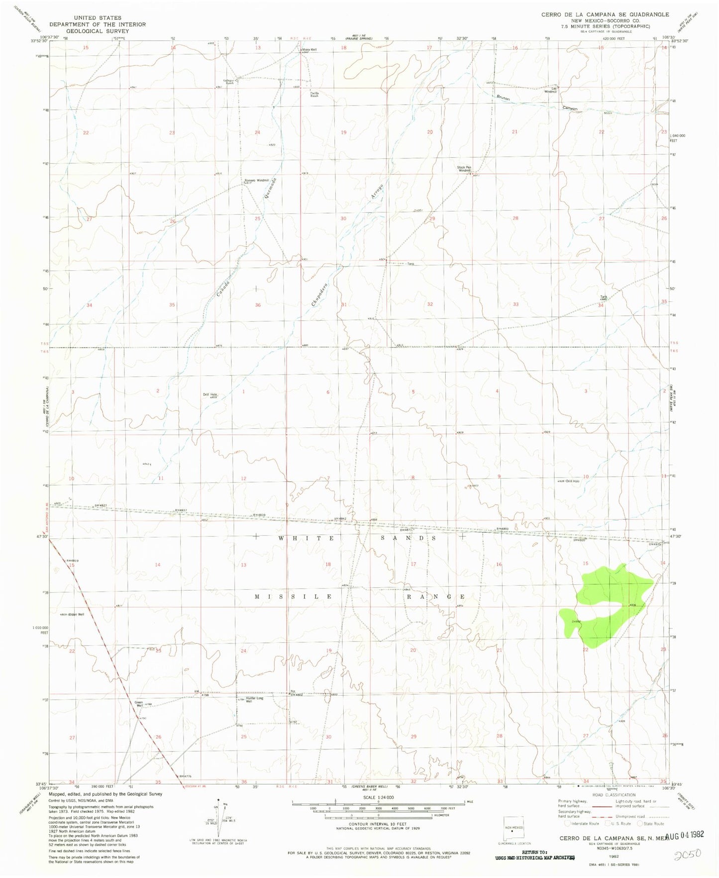
Historical USGS topographic quad map of Cerro De La Campana SE in the state of New Mexico. Map scale may vary for some years, but is generally around 1:24,000. Print size is approximately 24" x 27"
This quadrangle is in the following counties: Socorro.
The map contains contour lines, roads, rivers, towns, and lakes. Printed on high-quality waterproof paper with UV fade-resistant inks, and shipped rolled.
Contains the following named places: Bruton Well, Canada Quemada, Gallegos Ranch, Green Well, Hunter Long Well, Leo Windmill, Miera Well, Padilla Ranch, Romero Ranch Water Well, Romero Well, Romero Windmill, Stock Pen Windmill, Widen Well