MyTopo
Classic USGS Cerro De La Olla New Mexico 7.5'x7.5' Topo Map
Regular price
$16.95
Regular price
Sale price
$16.95
Unit price
per
Couldn't load pickup availability
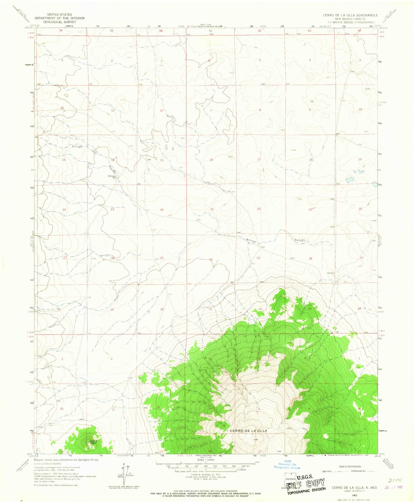
Historical USGS topographic quad map of Cerro De La Olla in the state of New Mexico. Map scale may vary for some years, but is generally around 1:24,000. Print size is approximately 24" x 27"
This quadrangle is in the following counties: Taos.
The map contains contour lines, roads, rivers, towns, and lakes. Printed on high-quality waterproof paper with UV fade-resistant inks, and shipped rolled.
Contains the following named places: Arroyo Punche, Cerrito Negro, Cerro de la Olla, McGreggor Antelope Guzzler, McGreggor Place, McGregor Antelope Guzzler Study Site, NM SEO Water Well, RG-37145 Water Well, Rio Grande del Norte National Monument, Testhole R10 Water Well