MyTopo
Classic USGS Cerro Del Oro New Mexico 7.5'x7.5' Topo Map
Couldn't load pickup availability
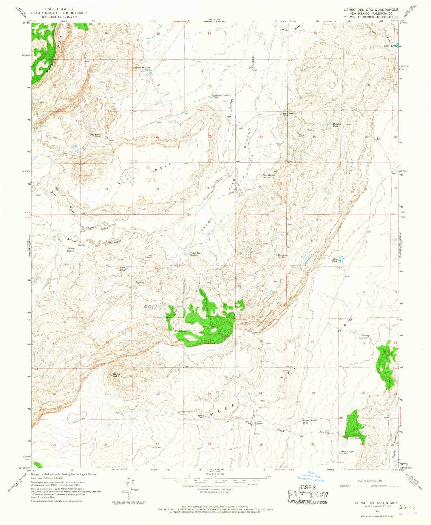
Historical USGS topographic quad map of Cerro Del Oro in the state of New Mexico. Map scale may vary for some years, but is generally around 1:24,000. Print size is approximately 24" x 27"
This quadrangle is in the following counties: Cibola.
The map contains contour lines, roads, rivers, towns, and lakes. Printed on high-quality waterproof paper with UV fade-resistant inks, and shipped rolled.
Contains the following named places: Abran Spring, Axtell Water Well, Axtell Windmill, Big Pasture Tank, Bill Aseyna Tank, Blue Water Creek, Canon Palo Blanco, Canon Villa de Aseyna, Cerro del Oro, Double Tank, Gunn Mesa, Hillside Tank, Holding Pasture Tank, Horse Pasture Tank, Jonah Tank, Lake Erie, Lonely Windmill, Lower Axtell Tank, Mesa del Oro, Ojo Grande, Orchard Place, Palo Blanco Spring, Petaca Pinta, Petaca Plata Wilderness Study Area, Point Trail Spring, Rim Tank, Salado Spring, Seis-Wilson Detention Dam Number 1, Seis-Wilson Ranch, Theodocio Spring, Twin Tank