MyTopo
Classic USGS Cerro Montoso New Mexico 7.5'x7.5' Topo Map
Couldn't load pickup availability
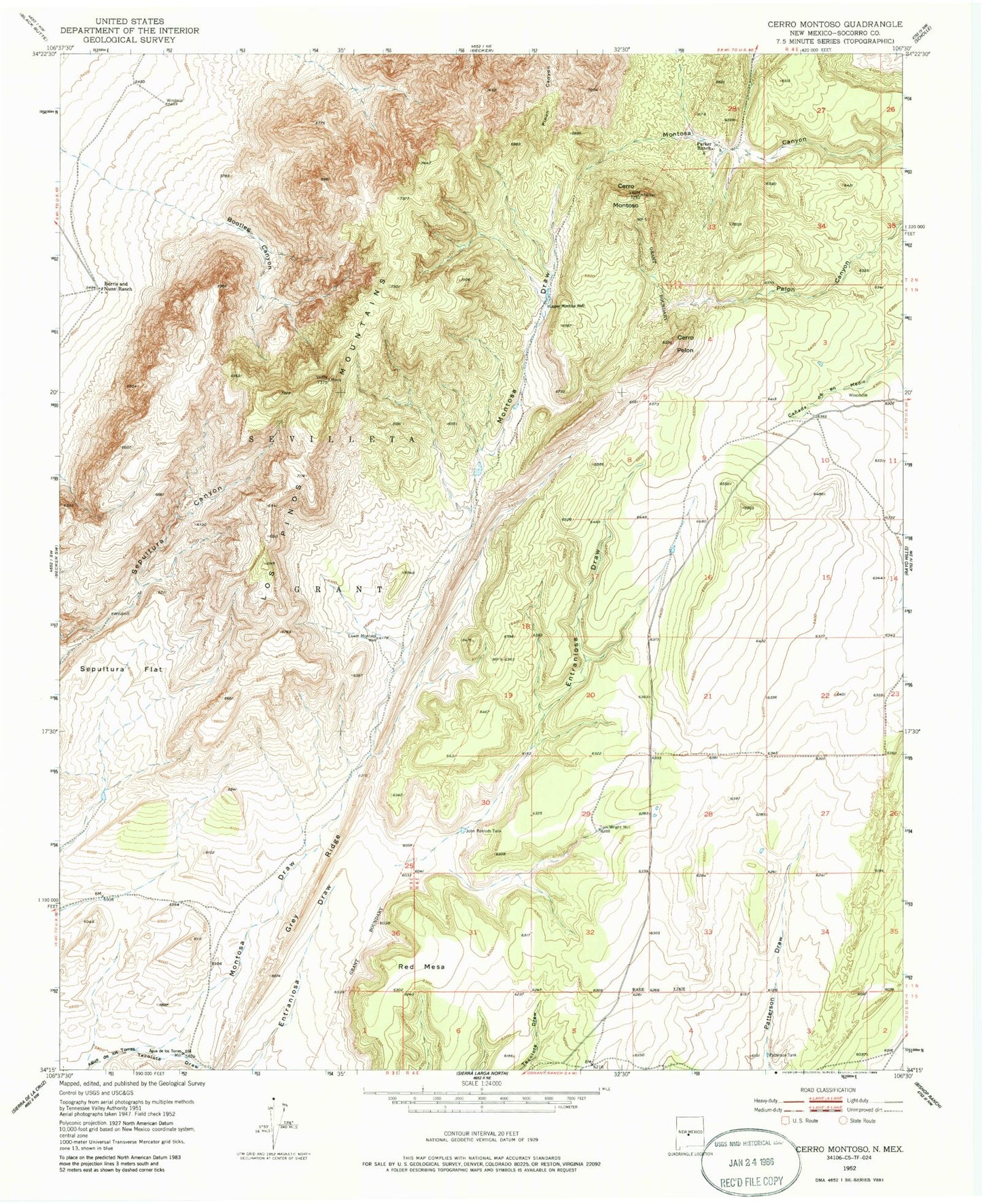
Historical USGS topographic quad map of Cerro Montoso in the state of New Mexico. Map scale may vary for some years, but is generally around 1:24,000. Print size is approximately 24" x 27"
This quadrangle is in the following counties: Socorro.
The map contains contour lines, roads, rivers, towns, and lakes. Printed on high-quality waterproof paper with UV fade-resistant inks, and shipped rolled.
Contains the following named places: Agua de los Torres Mill, Burris and Nunn Ranch, Burris HQ Water Well, Cerro Montoso, Cerro Pelon, Conqueror Mine, Grey Ridge, John Renlods Tank, Los Pinos Mountains, Lower Montosa Well, Montosa Draw, Parker Ranch, Parker Water Well, Patterson Tank, Red Mesa, Sepultura Flat, Tecolote Draw, Test Water Well 2, Tom Wright Mill, Upper Montosa Well