MyTopo
Classic USGS Cerro Negro New Mexico 7.5'x7.5' Topo Map
Regular price
$16.95
Regular price
Sale price
$16.95
Unit price
per
Couldn't load pickup availability
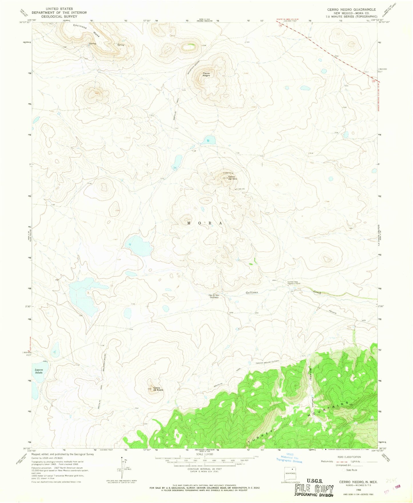
Historical USGS topographic quad map of Cerro Negro in the state of New Mexico. Map scale may vary for some years, but is generally around 1:24,000. Print size is approximately 24" x 27"
This quadrangle is in the following counties: Mora.
The map contains contour lines, roads, rivers, towns, and lakes. Printed on high-quality waterproof paper with UV fade-resistant inks, and shipped rolled.
Contains the following named places: Cerro de Espia, Cerro de Ore, Cerro del Oro, Cerro Del Oro, Cerro Negro, Gallinas Camp Diamond A Ranch, Laguna Salada, Mclamar Canyon, Mora County, Ojo de las Gallinas, Santa Fe Trail