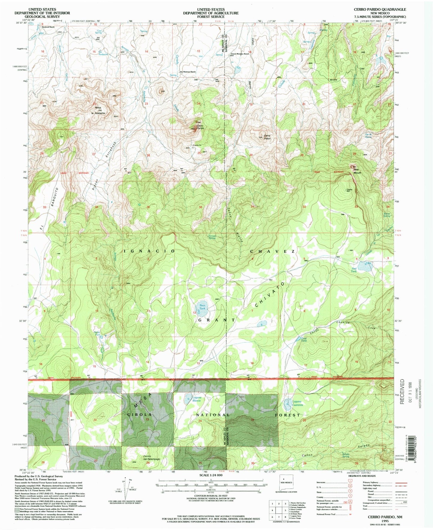
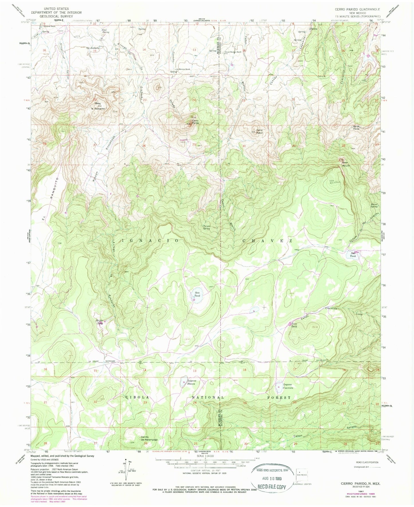
MyTopo
Classic USGS Cerro Parido New Mexico 7.5'x7.5' Topo Map
Couldn't load pickup availability
Historical USGS topographic quad map of Cerro Parido in the state of New Mexico. Map scale may vary for some years, but is generally around 1:24,000. Print size is approximately 24" x 27"
This quadrangle is in the following counties: McKinley, Sandoval.
The map contains contour lines, roads, rivers, towns, and lakes. Printed on high-quality waterproof paper with UV fade-resistant inks, and shipped rolled.
Contains the following named places: 10017 Water Well, Barrel Spring, Bear Mouth, Cerrito del Relampago, Cerro Parido, Cerro Pelon, Coal Spring, El Banquito, Ernest Montoya Ranch, Heifer Tank, Ignacio Chavez Grant, Joe Montoya Ranch, Laguna Blanca, Laguna Cuarenta, Mesa la Azabache, Ned Tank, Ojo Azabache, Ojo de Alamo, R-13 Water Well, Rincon Entranosa, Salado Spring, Sandoval Ranch, Seco Tank, Toro Tank, Toruno Spring