MyTopo
Classic USGS Cerro Prieto New Mexico 7.5'x7.5' Topo Map
Couldn't load pickup availability
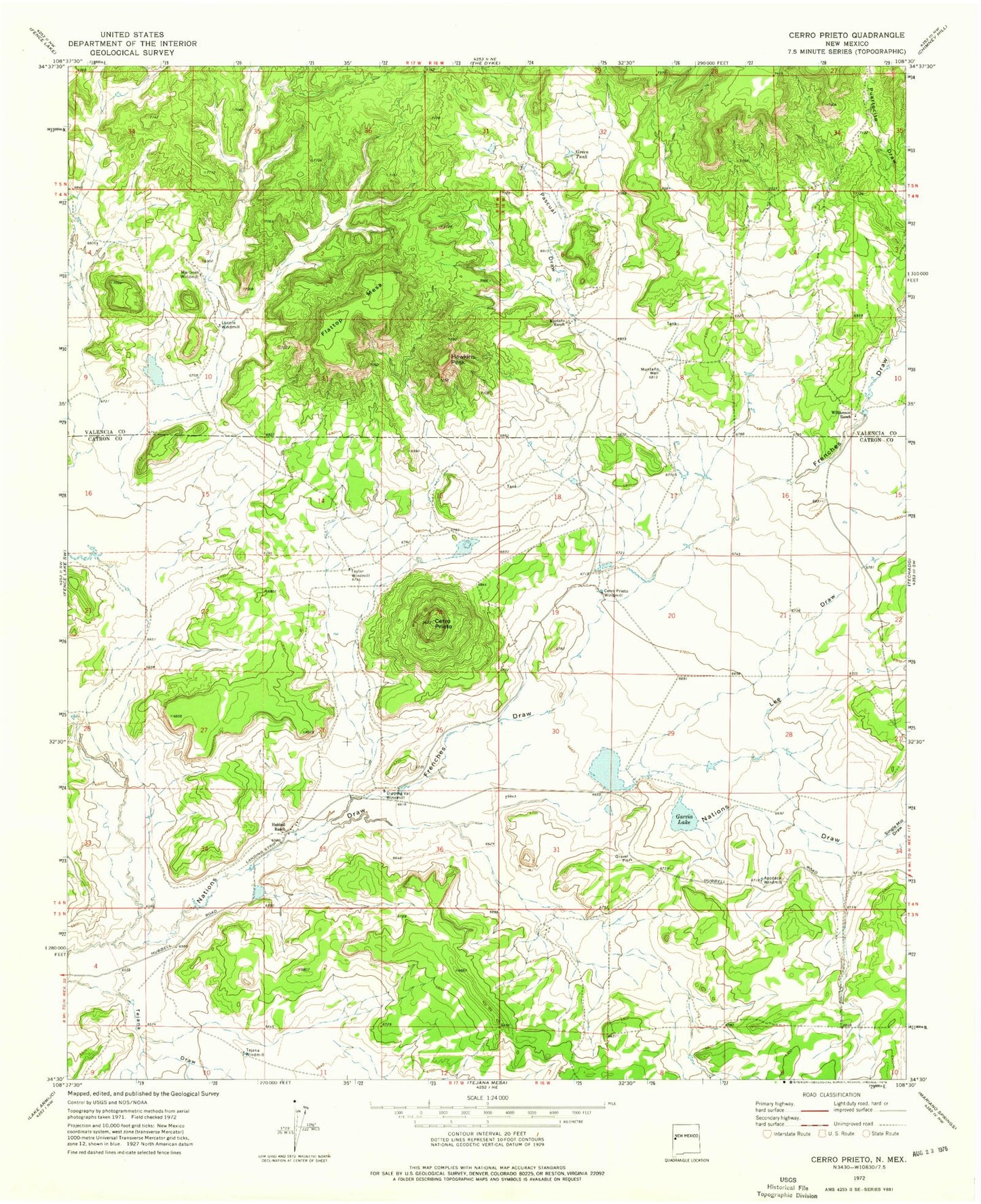
Historical USGS topographic quad map of Cerro Prieto in the state of New Mexico. Map scale may vary for some years, but is generally around 1:24,000. Print size is approximately 24" x 27"
This quadrangle is in the following counties: Catron, Cibola.
The map contains contour lines, roads, rivers, towns, and lakes. Printed on high-quality waterproof paper with UV fade-resistant inks, and shipped rolled.
Contains the following named places: Apodaca Windmill, Cerro Prieto, Cerro Prieto Windmill, Dipping Vat Windmill, Flattop Mesa, Frenches Draw, Garcia Lake, Green Tank, Hawkins Peak, Hubbell Draw, Hubbell Ranch, Lee Draw, Lucero Water Well, Lucero Windmill, Martinez Windmill, Montano Ranch, Montano Well, Pascual Draw, Single Mill Draw, Taylor Windmill, Tejana Windmill, Williamson Ranch