MyTopo
Classic USGS Cerro Tinaja New Mexico 7.5'x7.5' Topo Map
Couldn't load pickup availability
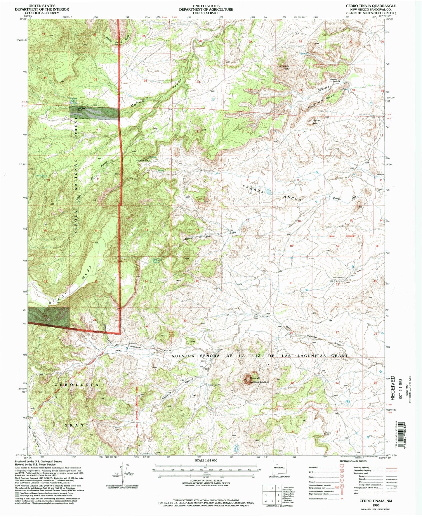
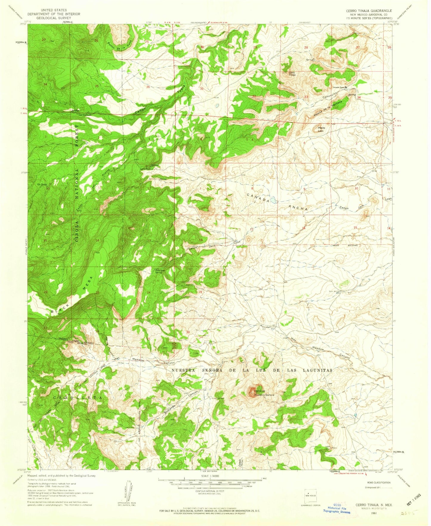
Historical USGS topographic quad map of Cerro Tinaja in the state of New Mexico. Map scale may vary for some years, but is generally around 1:24,000. Print size is approximately 24" x 27"
This quadrangle is in the following counties: Sandoval.
The map contains contour lines, roads, rivers, towns, and lakes. Printed on high-quality waterproof paper with UV fade-resistant inks, and shipped rolled.
Contains the following named places: Badlands Canyon, Banco de la Casa, Canon del Puente, Cerro de Nuestra Senora, Cerro Tinaja, Gonzales Ranch, Jara Loso Spring, Jaralosa Spring, Jaramosa Canyon, Juan Chullo Well, Juan Jose Ranch, Lagunitas Well, Mesita de la Ventana, Mesita Leon, North Windmill, Ojo Canoa, Rancho Viejo Spring, Sanchez Ranch