MyTopo
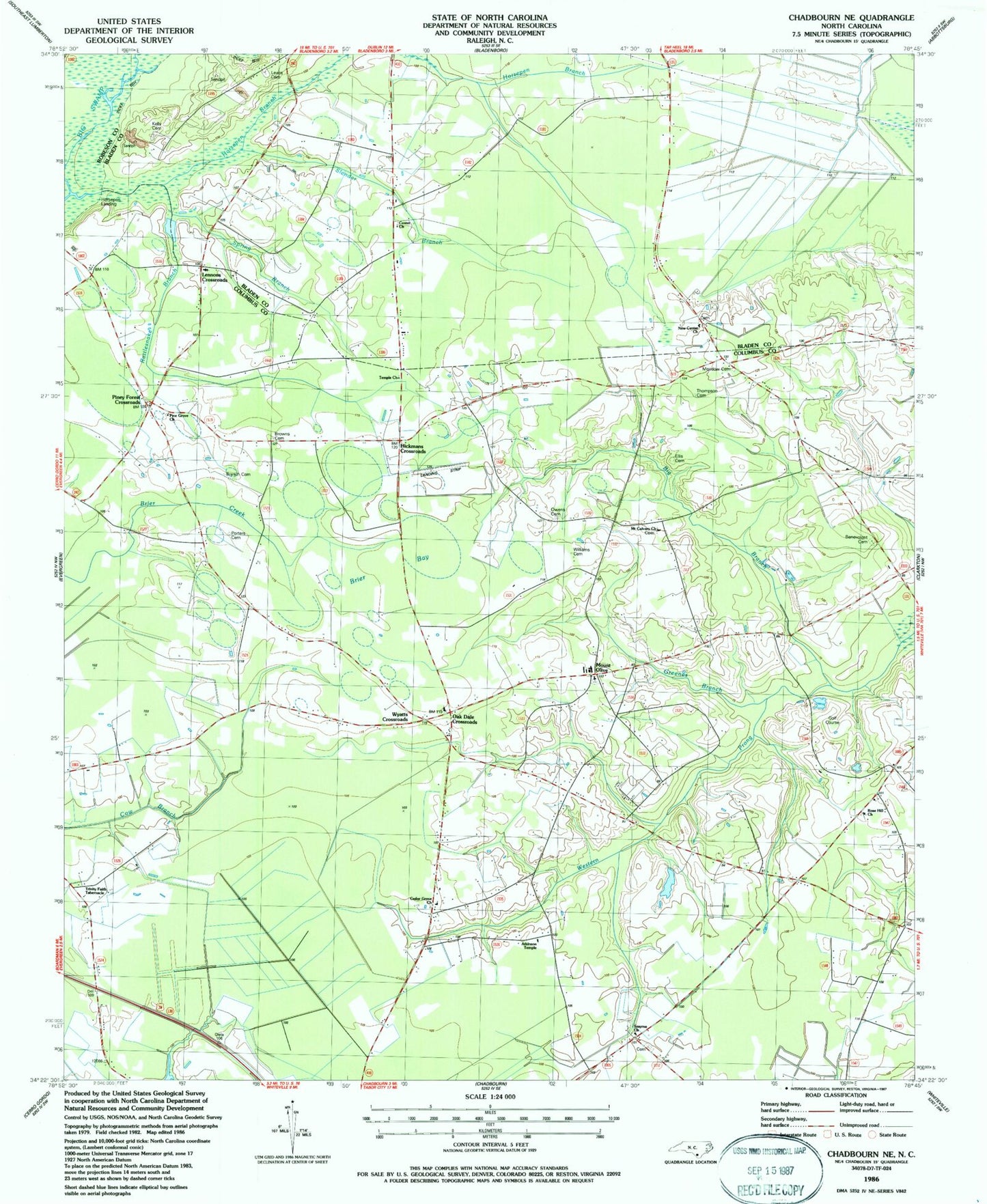
Classic USGS Chadbourn NE North Carolina 7.5'x7.5' Topo Map
Couldn't load pickup availability
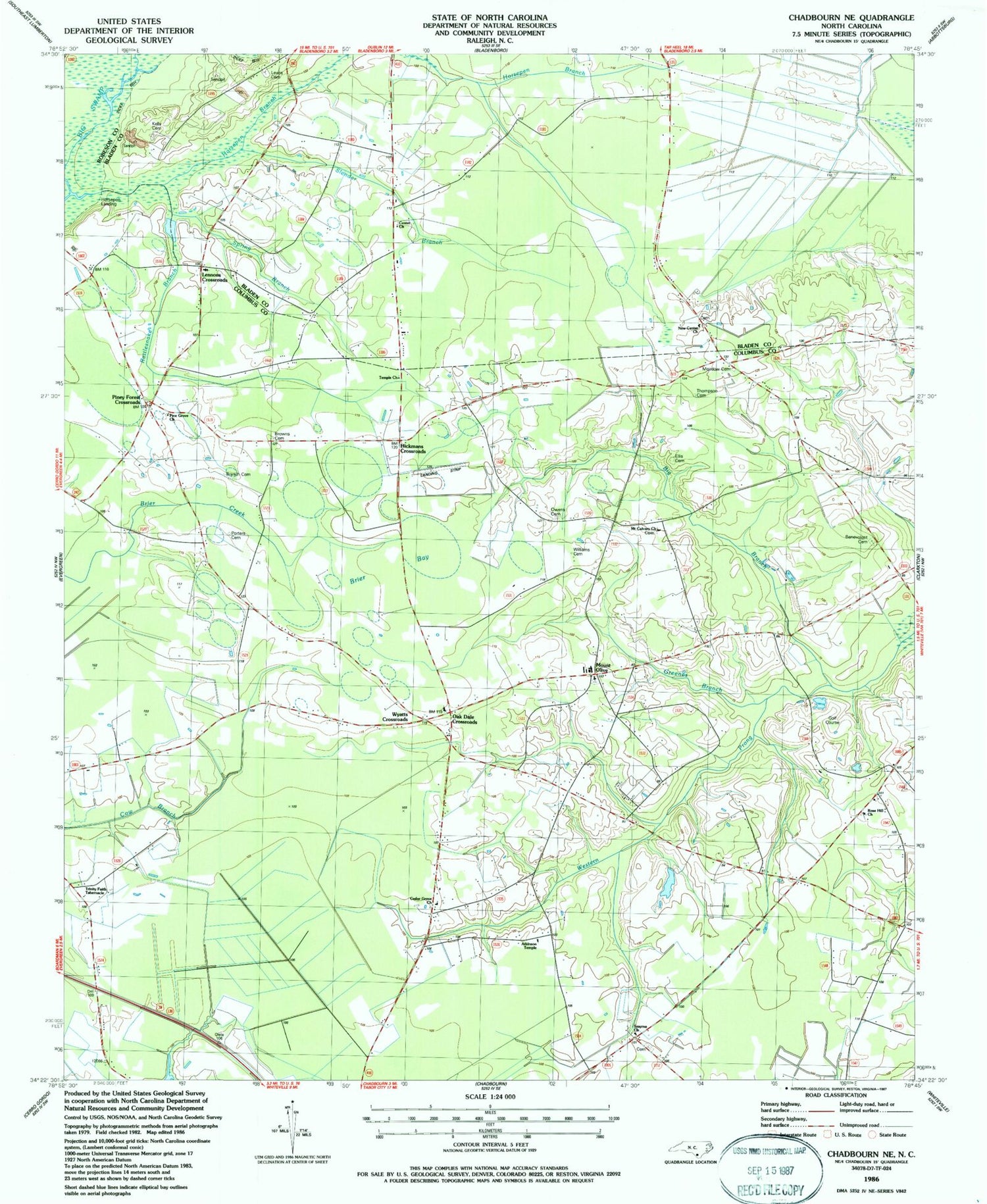
Historical USGS topographic quad map of Chadbourn NE in the state of North Carolina. Map scale may vary for some years, but is generally around 1:24,000. Print size is approximately 24" x 27"
This quadrangle is in the following counties: Bladen, Columbus, Robeson.
The map contains contour lines, roads, rivers, towns, and lakes. Printed on high-quality waterproof paper with UV fade-resistant inks, and shipped rolled.
Contains the following named places: Atkinson Temple, Beaver Dam Bay, Benevolent Cemetery, Big Branch, Brandh Cemetery, Brier Bay, Brown Morse Swamp, Browns Cemetery, Button Bay, Callihan Cemetery, Cedar Grove Church, Center Church, Cow Bay, Ellis Cemetery, Flat Bay, Greenes Branch, Hickmans Crossroads, Horsepen Branch, Horsepen Landing, Horsepen Swamp, Kelly Cemetery, Lennons Crossroads, Lennons Crossroads Church, Lewis Cemetery, Meadow Cemetery, Mount Calvary Church, Mount Olive, New Center Church, Oak Dale Crossroads, Owens Cemetery, Pine Grove Church, Piney Forest Crossroads, Porters Cemetery, Rattlesnake Branch, Rose Hill Church, Rough Horn Bay, Slender Bay, Slender Branch, Smyrna Church, Spring Branch, Temple Church, Thompson Cemetery, Trinity Faith Tabernacle, Williams Cemetery, Williams Cross Roads, Wyatts Crossroads


