MyTopo
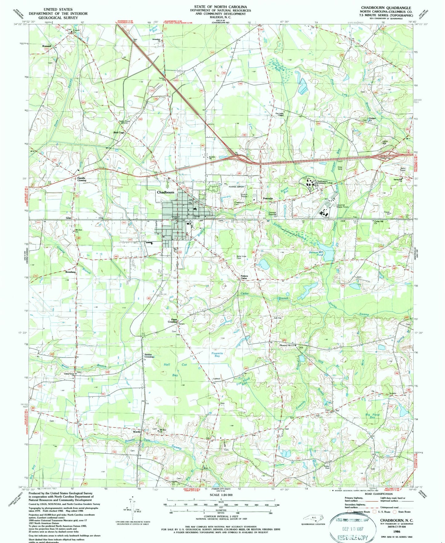
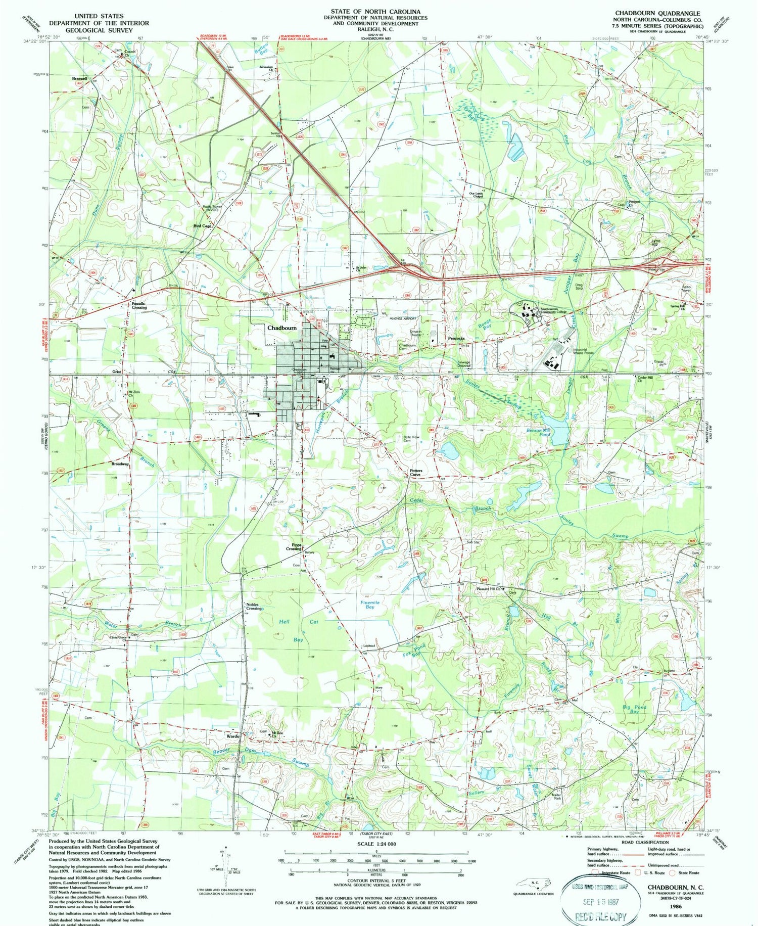
Classic USGS Chadbourn North Carolina 7.5'x7.5' Topo Map
Couldn't load pickup availability
Historical USGS topographic quad map of Chadbourn in the state of North Carolina. Map scale may vary for some years, but is generally around 1:24,000. Print size is approximately 24" x 27"
This quadrangle is in the following counties: Columbus.
The map contains contour lines, roads, rivers, towns, and lakes. Printed on high-quality waterproof paper with UV fade-resistant inks, and shipped rolled.
Contains the following named places: Belvue Cemetery, Benson Mill Pond, Big Branch, Big Pond Bay, Bird Cage, Boege Bay, Braswell, Broadway, Cedar Branch, Cedar Hill Church, Chadbourn, Chadbourn Baptist Church, Chadbourn Cemetery, Chadbourn Church of God, Chadbourn Community Library, Chadbourn Elementary School, Chadbourn Junior High School, Chadbourn Pentecostal Holiness Church, Chadbourn Police Department, Chadbourn Post Office, Chadbourn Presbyterian Church, Chadbourn United Methodist Church, Chadbourne Wastewater Treatment Plant, China Grove Church, Corinth Church, Deep Branch, Fipps Crossing, First Baptist Church, Fivemile Bay, Fivemile Branch, Fox Pond Bay, Grist, Hell Cat Bay, Hog Branch, Horsepen Branch, Hughes Airport, Jerusalem Church, Juniper Bay, Juniper Creek, Klondyke - Chadbourn Fire Department and Rescue Squad, Living Word Church, Lynn Hill, Mire Branch, Mount Zion Church, Nobles Crossing, Our Lords Chapel, Peacocks, Pine Log Bay, Pleasant Hill Church, Potters Curve, Powells Crossing, Pridgen Church, Ruddy Branch, Saint John Church, Sellers Branch, Southeast Regional Park, Southeastern Community College, Spring Branch, Spring Hill Church, Town of Chadbourn, Township of Chadbourn, United Holy Temple Church, Wards, WVoe-AM (Chadbourn), Zion Wall Free Will Baptist Church, ZIP Code: 28431


