MyTopo
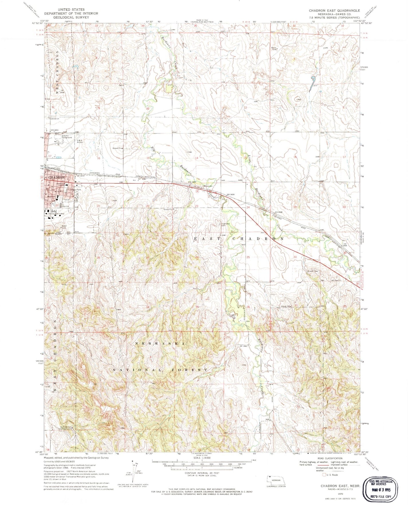
Classic USGS Chadron East Nebraska 7.5'x7.5' Topo Map
Couldn't load pickup availability
Historical USGS topographic quad map of Chadron East in the state of Nebraska. Map scale may vary for some years, but is generally around 1:24,000. Print size is approximately 24" x 27"
This quadrangle is in the following counties: Dawes.
The map contains contour lines, roads, rivers, towns, and lakes. Printed on high-quality waterproof paper with UV fade-resistant inks, and shipped rolled.
Contains the following named places: Alpha School, Andrews Hall, Armstrong Gym, Assumption Academy, Berean Fundamental Church, Bible Baptist Church, Big Bordeaux Creek, Bordeaux Trading Post Historical Marker, Brooks Hall, Burkhiser Technology Complex, Chadron, Chadron Christian School, Chadron Church of Christ, Chadron East Ward Elementary School, Chadron Medical Clinic, Chadron Middle School, Chadron Senior High School, Chadron-Chicago 1893 Cowboy Race Historical Marker, Church of the Nazarene, Dawes County Fairground, Dawes County Fairgrounds, Election Precinct 01, Election Precinct 03, Election Precinct 04, Election Precinct 06, Finnegan Park, Grace Episcopal Church, High Rise Womens Hall, Highland Cemetery, Immanuel Lutheran Church, Jehovahs Witnesses Kingdom Hall, Kent Hall, Kline Center, KZNE-AM (Chadron), Little Bordeaux Creek, Marshall Dam, Marshall Reservoir, Math and Science Building, Memorial Park, Museum of the Fur Trade, National Guard Armory, O and N Airport, Our Saviours Lutheran Church, Redwood Mobile Court, Reta E King Library, Saint Patricks Church, Seventh Day Adventist Church, Spotted Tail Campground, Spotted Tail Trailhead, Student Center, The Church of Jesus Christ of Latter Day Saints, United Methodist Church


