MyTopo
Classic USGS Chadron West Nebraska 7.5'x7.5' Topo Map
Couldn't load pickup availability
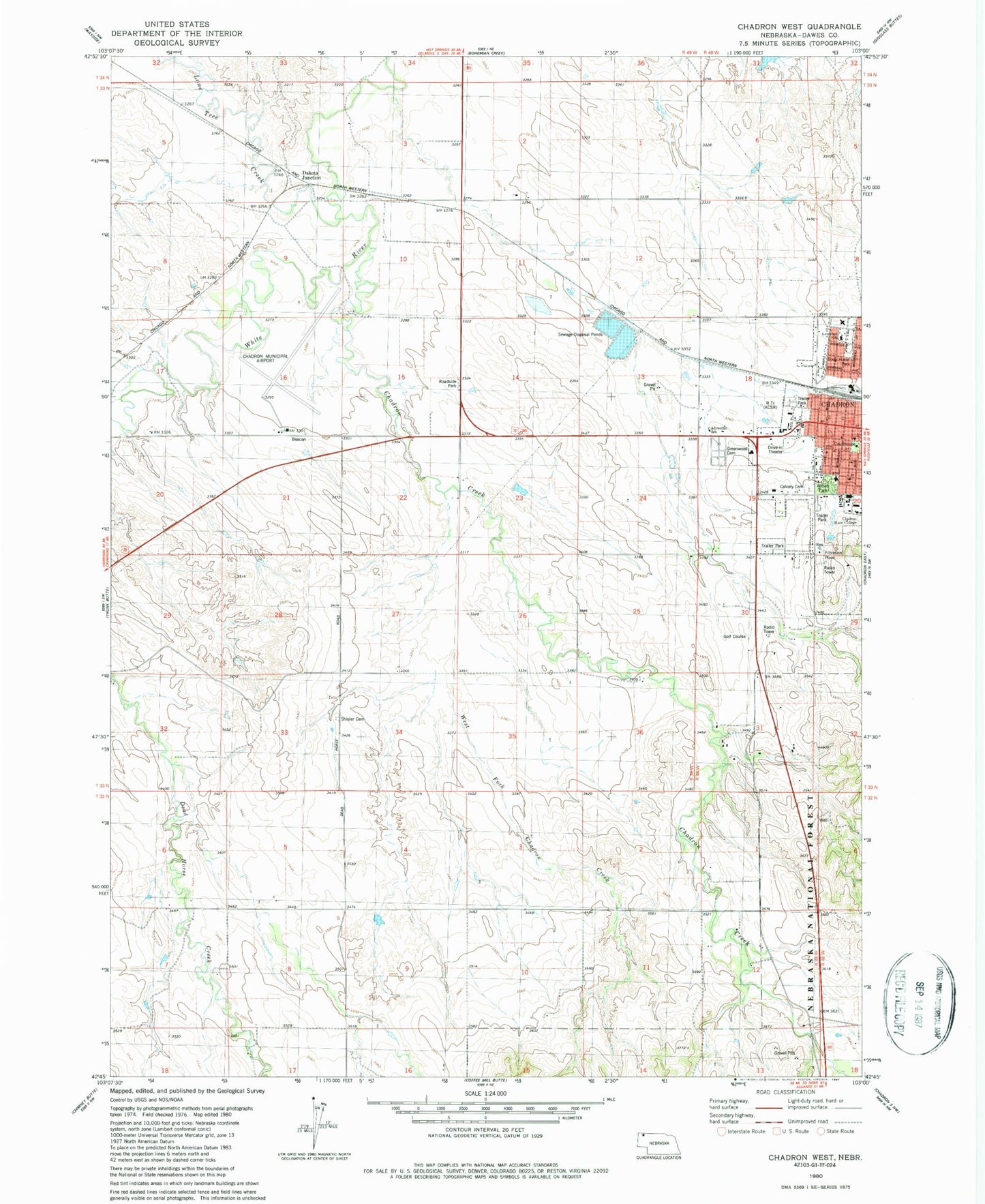
Historical USGS topographic quad map of Chadron West in the state of Nebraska. Map scale may vary for some years, but is generally around 1:24,000. Print size is approximately 24" x 27"
This quadrangle is in the following counties: Dawes.
The map contains contour lines, roads, rivers, towns, and lakes. Printed on high-quality waterproof paper with UV fade-resistant inks, and shipped rolled.
Contains the following named places: Activity Center, Administration Building, Adventist Elementary School, Boog Horse Park, Calvary Cemetery, Chadron Commercial Historic District, Chadron Community Church, Chadron Community Hospital, Chadron Creek, Chadron Creek Trading Post Historical Marker, Chadron Grain Elevator, Chadron Municipal Airport, Chadron Police Department, Chadron Post Office, Chadron Public Library, Chadron State College, Chadron State College Historical Marker, Chadron Volunteer Fire Department, Chadron Work Center, Church of Christ, City of Chadron, Congregational Church, Crest View Manor, Crites Hall, Dakota Junction, Dawes County Courthouse, Dawes County Historical Museum, Dawes County Sheriff's Office, Edna G Work Hall, Edna G Work Wing, Election Precinct 02, Election Precinct 05, Election Precinct 08, Elliott Field, First Baptist Church, First Congregational Church, Greenwood Cemetery, Hildreth Hall, J and L RV Park, J and L Trailer Court, KCNE-FM (Chadron), KCSR Radio Tower (Biloxi), KCSR-AM (Chadron), Lone Tree Creek, Mayfield Dam, Media Center, Memorial Hall, Miller Hall, Panhandle Mental Health Center, Pine Ridge, Pine Ridge District Ranger Office, Reorganized Church of Jesus Christ of Latter Day Saints, Ridgeview Country Club, Shisler Cemetery, Sparks Hall, Spring Creek Dam, Spring Creek Reservoir, The First Church in Chadron Historical Marker, The Fort Pierre - Fort Laramie Trail Historical Marker, Trunk Butte School, Wagon Wheel Trailer Court, West Court Family Housing, West Fork Chadron Creek, Westview Mobile Park, Wilson Park, ZIP Code: 69337


