MyTopo
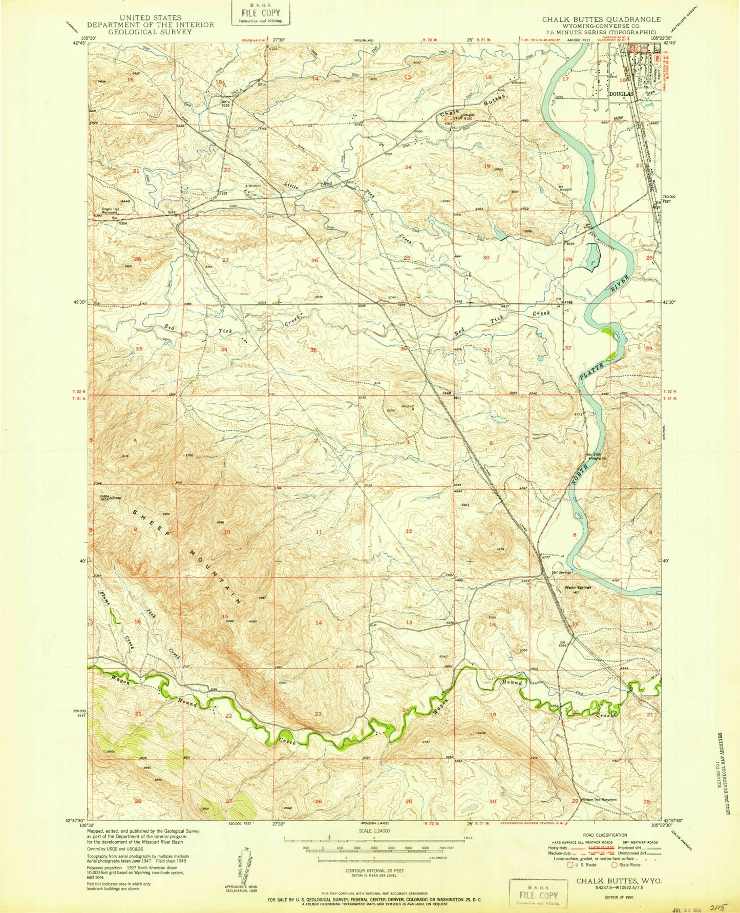
USGS Classic Chalk Buttes Wyoming 7.5'x7.5' Topo Map
Couldn't load pickup availability
Historical USGS topographic quad map of Chalk Buttes in the state of Wyoming. Scale: 1:24000. Print size: 24" x 27"
This quadrangle is in the following counties: Converse.
The map contains contour lines, roads, rivers, towns, lakes, and grids including latitude / longitude and UTM / MGRS. Printed on high-quality waterproof paper with UV fade-resistant inks.
Contains the following named places: Bed Tick Creek, Chalk Buttes, Flume Creek, Jack Creek, Little Bed Tick Creek, Miller Draw, Oregon Trail Monument, Oregon Trail Monument, Oregon Trail Monument, Warm Springs Hill, Chalk Buttes Dam, Chalk Buttes Reservoir, Busch Dam, Busch Reservoir, Sheep Mountain Mine, American Mining Company Property Mine, Douglas Hot Springs, Sheep Mountain