MyTopo
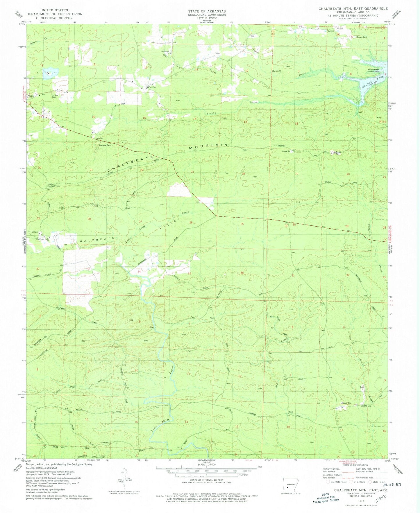
Classic USGS Chalybeate Mountain East Arkansas 7.5'x7.5' Topo Map
Couldn't load pickup availability
Historical USGS topographic quad map of Chalybeate Mountain East in the state of Arkansas. Map scale may vary for some years, but is generally around 1:24,000. Print size is approximately 24" x 27"
This quadrangle is in the following counties: Clark.
The map contains contour lines, roads, rivers, towns, and lakes. Printed on high-quality waterproof paper with UV fade-resistant inks, and shipped rolled.
Contains the following named places: Alpine Lookout Tower, Ashworth Airport, Barksdale Lake Dam, Brushy Cemetery, Brushy Creek Access Point, Chalybeate Mountain, Chalybeate Valley, Chalybeate Valley Church, Fendley, Fendley School, Gus Still Creek, Hill Cemetery, Jordan Cemetery, Lake Barksdale, Lenox, Little Brushy Creek, Oak Grove Church, Township of Amity, Township of Leard, Union Church