MyTopo
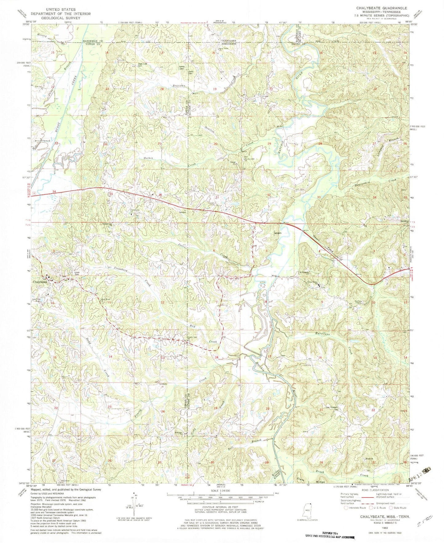
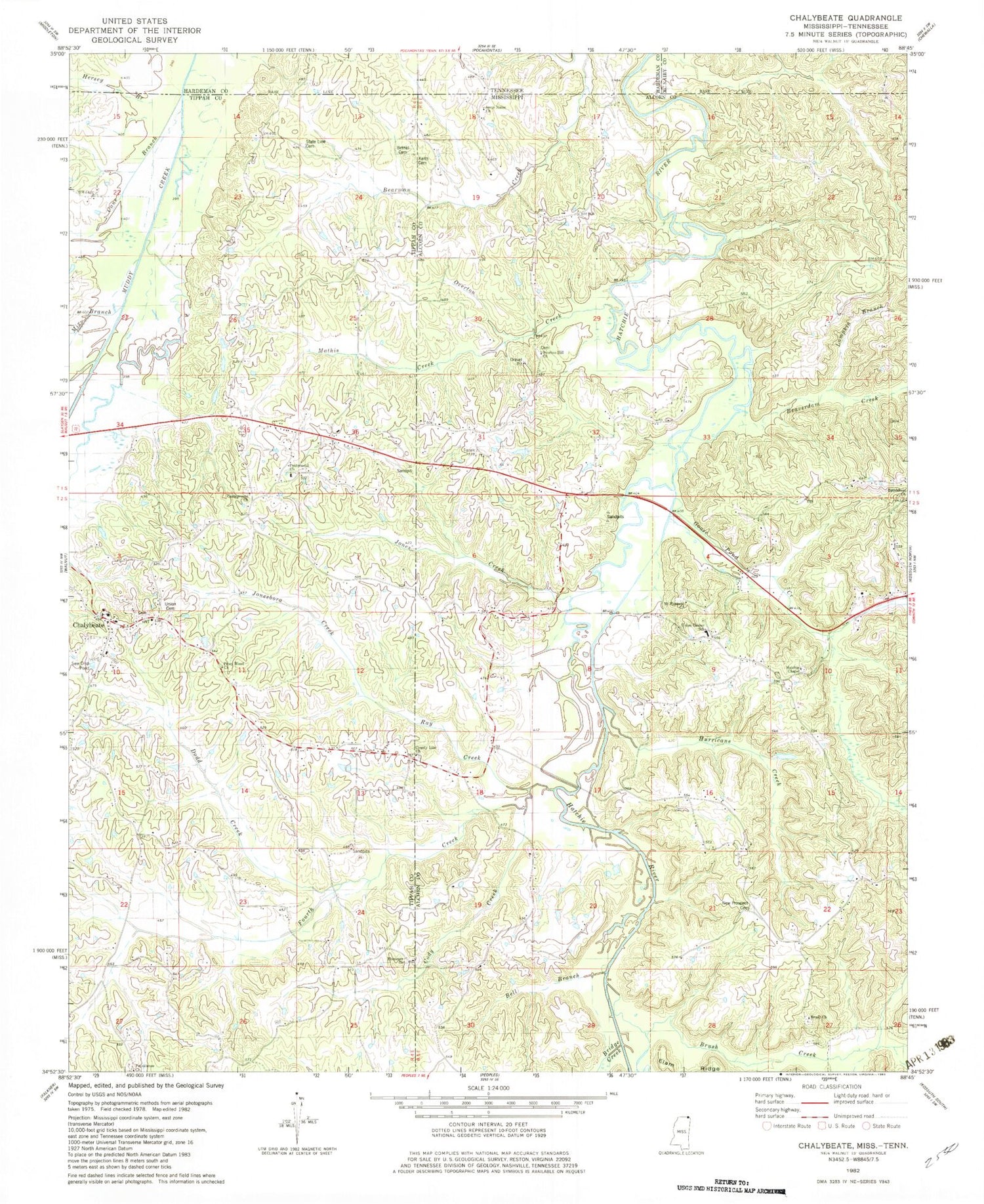
Classic USGS Chalybeate Mississippi 7.5'x7.5' Topo Map
Couldn't load pickup availability
Historical USGS topographic quad map of Chalybeate in the state of Mississippi. Map scale may vary for some years, but is generally around 1:24,000. Print size is approximately 24" x 27"
This quadrangle is in the following counties: Alcorn, Hardeman, McNairy, Tippah.
The map contains contour lines, roads, rivers, towns, and lakes. Printed on high-quality waterproof paper with UV fade-resistant inks, and shipped rolled.
Contains the following named places: Beaverdam Creek, Bell Branch, Bethel Cemetery, Bethlehem Baptist Church, Blacks Store, Box Bridge, Bridge Creek, Brush Creek, Brush Creek Baptist Church, Brush Creek School, Brush School, Camp Ground Cemetery, Campground Church, Cane Branch, Chalybeate, Chalybeate Baptist Church, Chalybeate Cemetery, Chalybeate Census Designated Place, Chalybeate Presbyterian Church, Chalybeate School, Cody Creek, County Line Baptist Church, Crum Bridge, Dodd Creek, Ebenezer Cemetery, Ebenezer Methodist Church, Fourth Creek, Goose Pond Creek, Harden Cemetery, Harmony Church, Hatchie Chapel, Hersey Branch, Hurricane Creek, Irby Bridge, Jones Creek, Jonesboro Creek, Jonesborough, Keaths Creek, Keith Cemetery, Lampkin Branch, Lookout Bridge, Lookout School, Mathis Creek, Mathis School, Mathis Store, Mix Branch, Mount Pleasant Church, New Prospect Church, Old Bethel Primitive Baptist Church, Overton, Overton Cemetery, Overton Creek, Overton Hill Church, Piney Wood Church, Providence Baptist Church, Providence Cemetery, Ray Creek, Routen Store, State Line Cemetery, State Line Church, Union Cemetery, Union Center School, Union Center Theo Volunteer Fire Department, ZIP Code: 38683


