MyTopo
Classic USGS Chamberlain Mountain Montana 7.5'x7.5' Topo Map
Couldn't load pickup availability
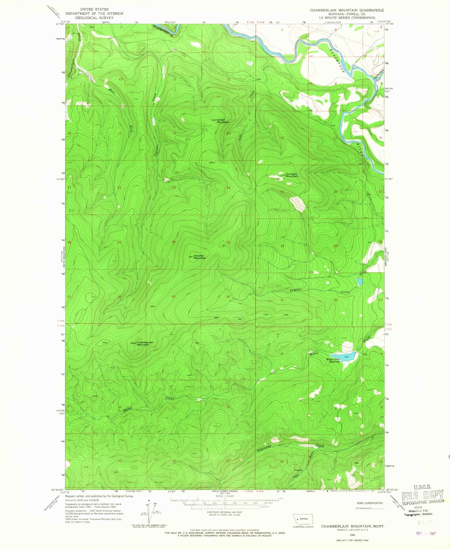
Historical USGS topographic quad map of Chamberlain Mountain in the state of Montana. Map scale may vary for some years, but is generally around 1:24,000. Print size is approximately 24" x 27"
This quadrangle is in the following counties: Powell.
The map contains contour lines, roads, rivers, towns, and lakes. Printed on high-quality waterproof paper with UV fade-resistant inks, and shipped rolled.
Contains the following named places: Chamberlain Mountain, Deer Gulch, Dunigan Mountain, East Fork Chamberlain Creek, Granite Mountain, Green Mountain, North Fork Blackfoot River, Raymond Dam, Raymond Number 2 Dam, Raymond Number 3 Dam, River Junction Fishing Access Site, Wales Creek Reservoir, Wales Creek Reservoir Dam