MyTopo
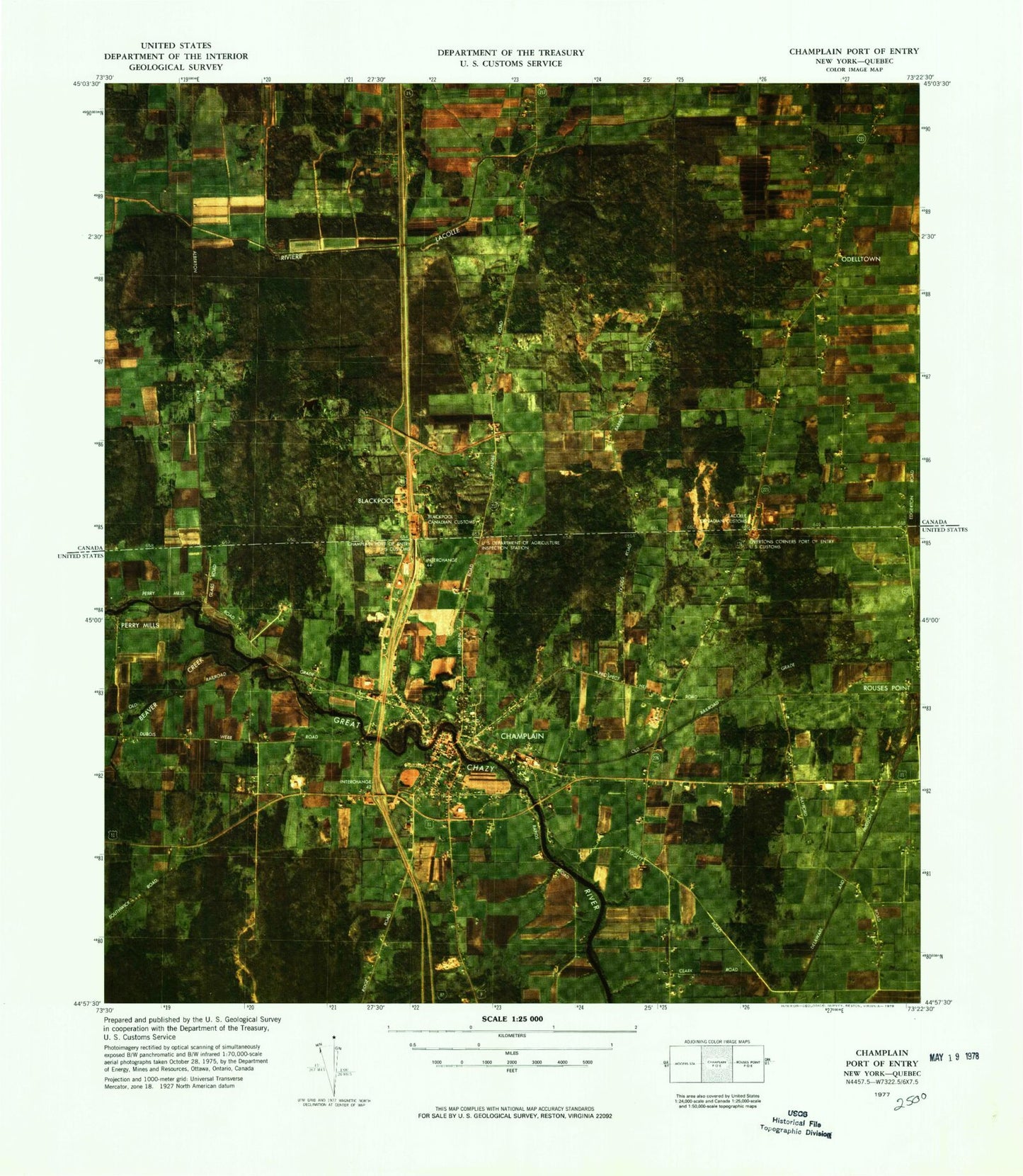
Classic USGS Champlain Port of Entry New York 7.5'x7.5' Topo Map
Couldn't load pickup availability
Historical USGS topographic quad map of Champlain Port of Entry in the state of New York. Map scale may vary for some years, but is generally around 1:24,000. Print size is approximately 24" x 27"
This quadrangle is in the following counties: Clinton.
The map contains contour lines, roads, rivers, towns, and lakes. Printed on high-quality waterproof paper with UV fade-resistant inks, and shipped rolled.
Contains the following named places: Beaver Creek, Carter's Mobile Home Park, Champlain, Champlain Central High School, Champlain Emergency Medical Services, Champlain Fire Department, Champlain Industrial Park, Champlain Memorial Library, Champlain Post Office, Champlain Village Wastewater Treatment Plant, Christ Saint John's Episcopal Church, Glenwood Cemetery, Great Chazy River Bridge, Hidden View Farms, Living Water Baptist Chapel, Maple Hill Cemetery, North Country Golf Club, Northway Drive-In, Rogers School, Saint Mary's Academy, Saint Marys Cemetery, Saint Mary's Church of Champlain, Saint Patricks Cemetery, School Number 6, Three Steeples United Methodist Church, Town of Champlain, United Church of Christ, Village of Champlain, ZIP Code: 12919