MyTopo
Classic USGS Chandlerville Illinois 7.5'x7.5' Topo Map
Couldn't load pickup availability
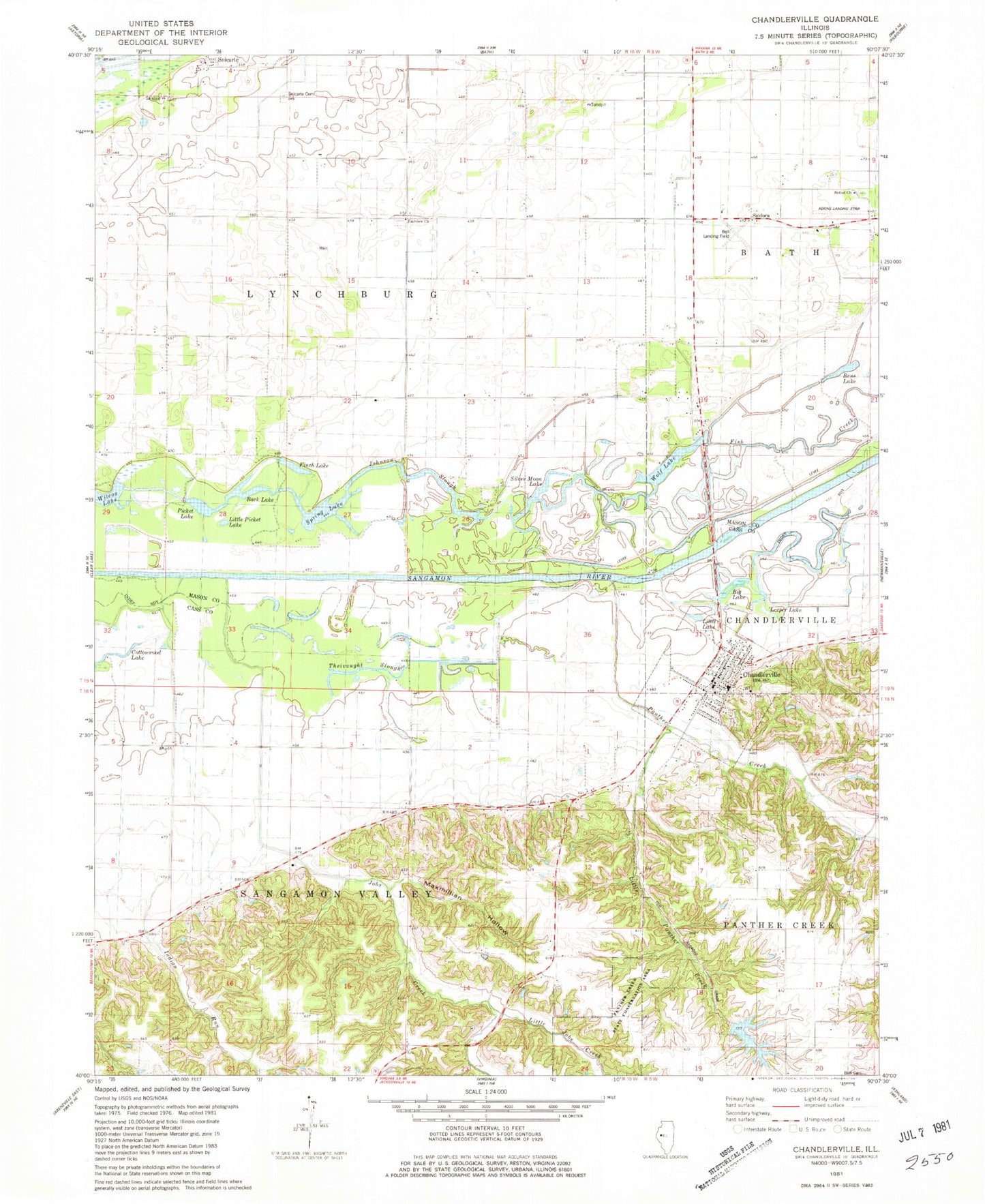
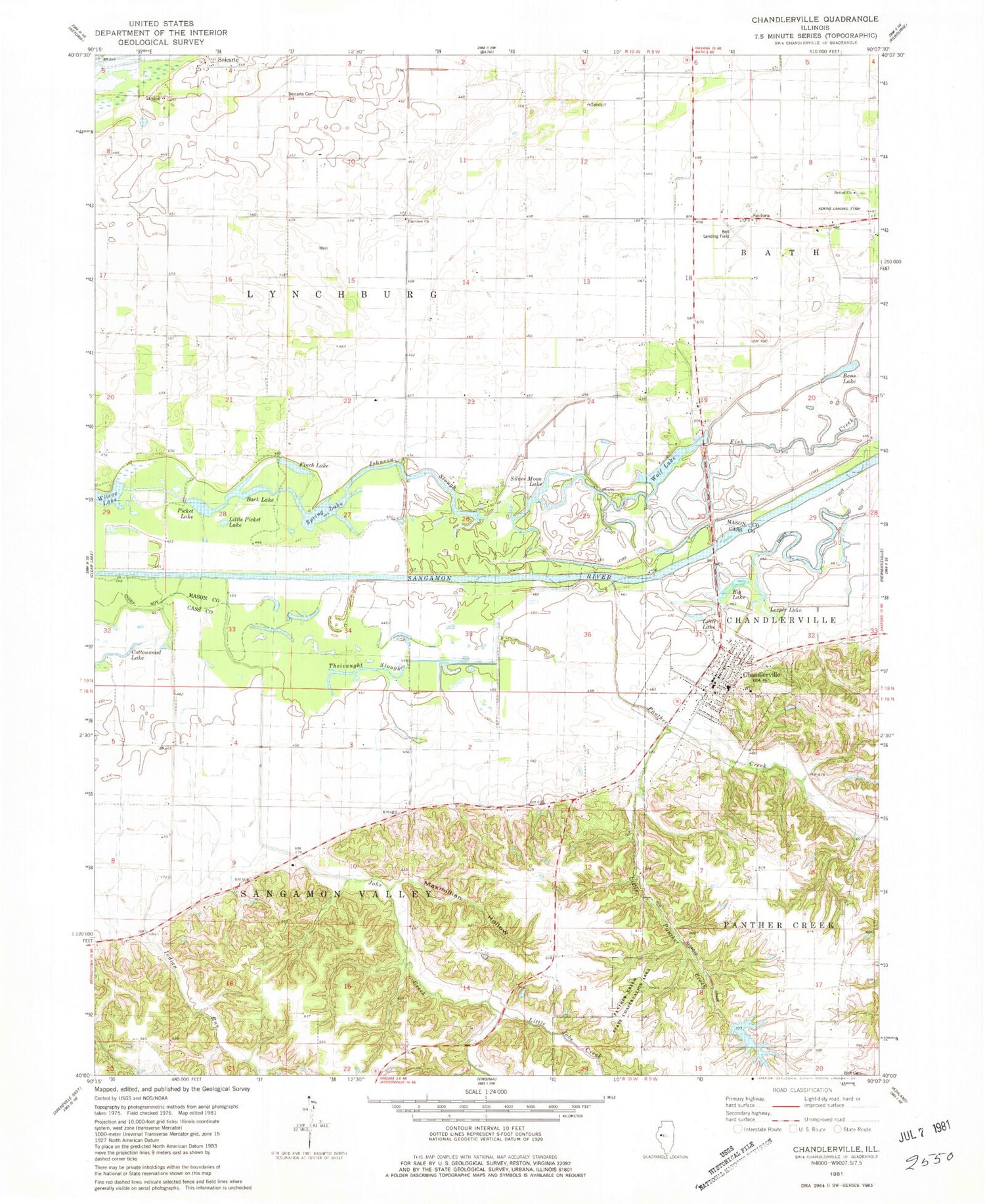
Historical USGS topographic quad map of Chandlerville in the state of Illinois. Map scale may vary for some years, but is generally around 1:24,000. Print size is approximately 24" x 27"
This quadrangle is in the following counties: Cass, Mason.
The map contains contour lines, roads, rivers, towns, and lakes. Printed on high-quality waterproof paper with UV fade-resistant inks, and shipped rolled.
Contains the following named places: Adkins Landing Strip, Back Lake, Bell Cemetery, Bell Landing Field, Bens Lake, Bethel Baptist Cemetery, Bethel Church, Big Lake, Blackjack School, Boxelder School, Briar Island, Calomel Lake, Chandlerville, Chandlerville Baptist Church, Chandlerville Cemetery, Chandlerville Junior High School, Chandlerville Post Office, Chandlerville Volunteer Fire Department, Cottonwood Lake, Cow Lake, Daniel School, Fairview Church, Fairview Ditch, Finch Lake, Finger Lake, Finger Lake Dam, Fish Creek, Howarth School, Indian Run, Jeps Hole, Jobs Creek, Johnson Slough, Leeper Lake, Little Jobs Creek, Little Lake, Little Panther Creek, Little Picket Lake, Live Springs School, Maxmillian Hollow, Morgan School, Mound Lake, Oakdale School, Palmerton, Panther Creek, Panther Creek State Conservation Area, Picket Lake, Pike Lake, Prairie Lake, Saidora, Salem Lutheran Church, Silver Moon Lake, Snicarte, Snicarte Cemetery, Spring Lake, Theivaught Slough, Township of Lynchburg, Township of Sangamon Valley, Village of Chandlerville, Wily Wake, Wolf Lake


