MyTopo
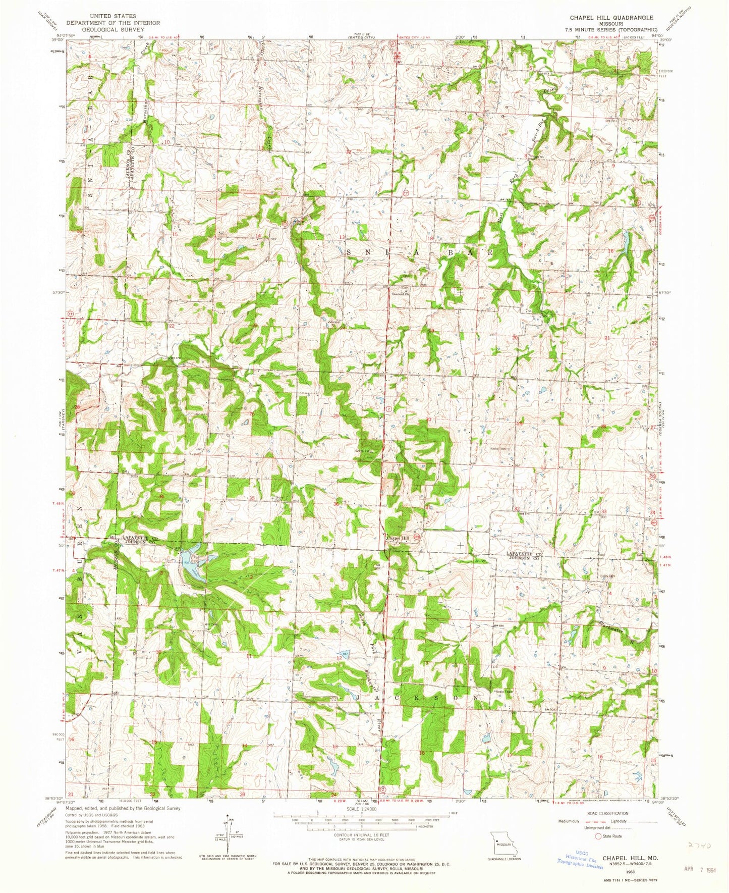
Classic USGS Chapel Hill Missouri 7.5'x7.5' Topo Map
Couldn't load pickup availability
Historical USGS topographic quad map of Chapel Hill in the state of Missouri. Typical map scale is 1:24,000, but may vary for certain years, if available. Print size: 24" x 27"
This quadrangle is in the following counties: Jackson, Johnson, Lafayette.
The map contains contour lines, roads, rivers, towns, and lakes. Printed on high-quality waterproof paper with UV fade-resistant inks, and shipped rolled.
Contains the following named places: Cobb Cemetery, Concord Church, Hill Cemetery, Shore Cemetery, Chapel Hill, Pleasant Grove School (historical), Webb School (historical), Woodland School (historical), Ferguson School (historical), Dade School (historical), Doty School (historical), Saylor School (historical), Hicks City, KLTY-FM (Liberty), Lake Paradise Dam, Number 198 Reservoir, Rice Lake Dam, East Branch South Fork Blackwater River Watershed Structure A-5 Dam, Wilkinson Lake, Swope - Morris Lake Dam, Country Store House Lake Dam, Brown Lake Dam, Township of Sni-A-Bar, Sionita School, Oak Grove Primary School, Friends Field, Orr School (historical)


