MyTopo
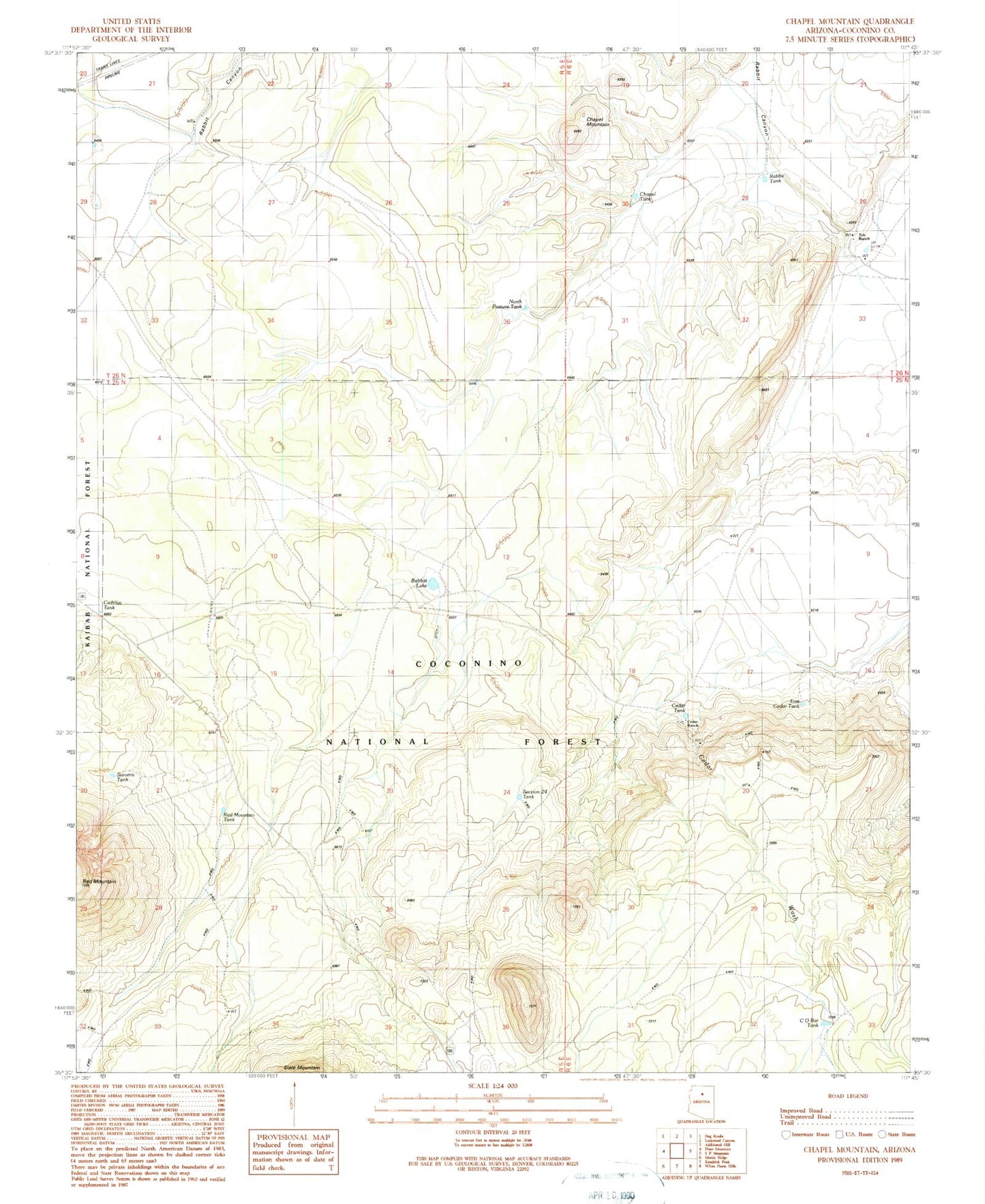
Classic USGS Chapel Mountain Arizona 7.5'x7.5' Topo Map
Couldn't load pickup availability
Historical USGS topographic quad map of Chapel Mountain in the state of Arizona. Map scale may vary for some years, but is generally around 1:24,000. Print size is approximately 24" x 27"
This quadrangle is in the following counties: Coconino.
The map contains contour lines, roads, rivers, towns, and lakes. Printed on high-quality waterproof paper with UV fade-resistant inks, and shipped rolled.
Contains the following named places: Babbitt Lake, Basin Well, Cadillac Tank, Cedar Ranch, Cedar Tank, Chapel Mountain, Chapel Tank, Cinder Tank, CO Bar Tank, Driftwood Tank, East Cedar Tank, Limestone Number Two Well, Limestone Well, North Pasture Tank, Porkchop Tank, Rabbit Canyon, Rabbit Tank, Red Mountain Tank, Slate Well, Stevens Tank, Tub Ranch