MyTopo
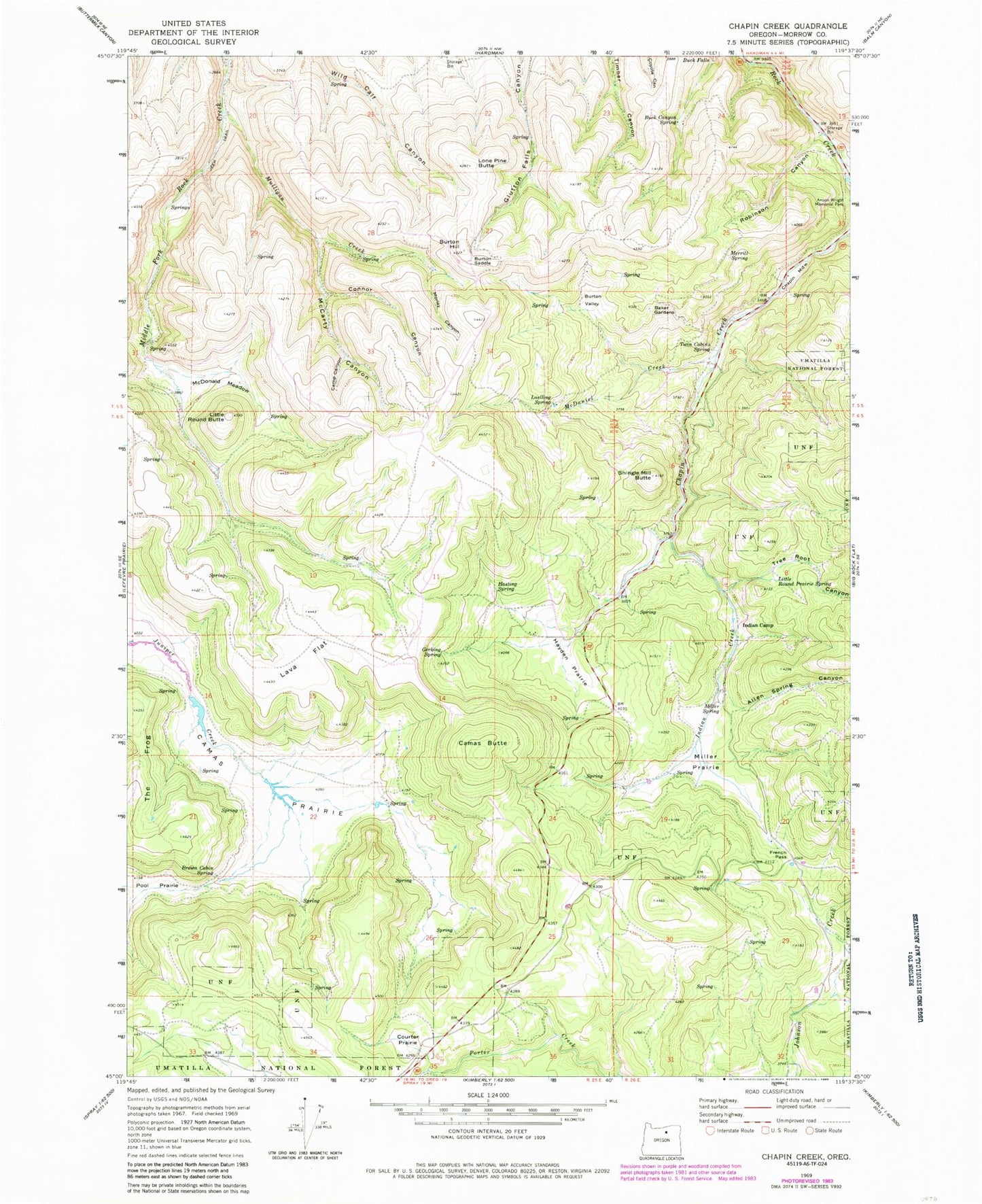
Classic USGS Chapin Creek Oregon 7.5'x7.5' Topo Map
Couldn't load pickup availability
Historical USGS topographic quad map of Chapin Creek in the state of Oregon. Map scale may vary for some years, but is generally around 1:24,000. Print size is approximately 24" x 27"
This quadrangle is in the following counties: Morrow.
The map contains contour lines, roads, rivers, towns, and lakes. Printed on high-quality waterproof paper with UV fade-resistant inks, and shipped rolled.
Contains the following named places: Allen Spring Canyon, Baker Gardens, Brown Cabin Spring, Buck Canyon Spring, Buck Falls, Burton Hill, Burton Saddle, Burton Valley, Camas Butte, Camas Prairie, Camp Canyon, Chapin Guard Station, Chapin Meadow, Colvin Creek, Connor Canyon, Courter Prairie, Emery Canyon, Fleming Canyon, French Pass, Gerking Spring, Hasting Spring, Hayden Prairie, Indian Camp, Indian Creek, Lava Flat, Little Round Butte, Little Round Prairie Spring, Lone Pine Butte, Luelling Spring, McCarty Canyon, McDaniel Creek, McDonald Meadow, Merrill Spring, Miller Prairie, Miller Spring, Morley Canyon, Mulligan Creek, Pool Prairie, Robinson Canyon, Shingle Mill Butte, Sinnott Post Office, Stevens Canyon, Sunderland Canyon, Thomas Spring, Tree Root Canyon, Twin Cabins Spring


