MyTopo
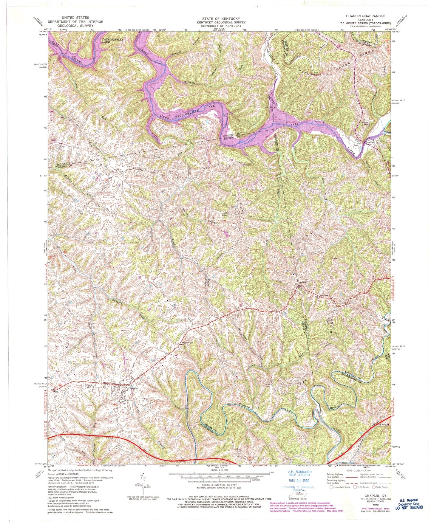
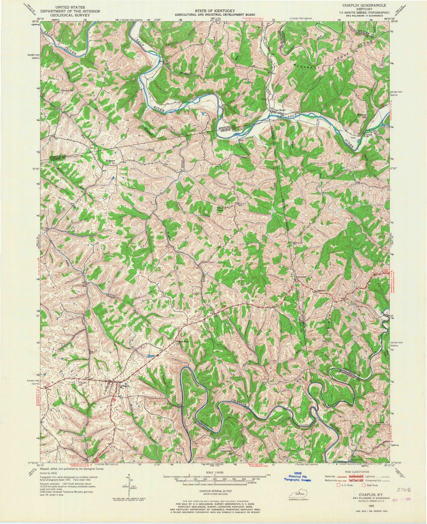
Classic USGS Chaplin Kentucky 7.5'x7.5' Topo Map
Couldn't load pickup availability
Historical USGS topographic quad map of Chaplin in the state of Kentucky. Map scale may vary for some years, but is generally around 1:24,000. Print size is approximately 24" x 27"
This quadrangle is in the following counties: Anderson, Nelson, Spencer, Washington.
The map contains contour lines, roads, rivers, towns, and lakes. Printed on high-quality waterproof paper with UV fade-resistant inks, and shipped rolled.
Contains the following named places: Beaver Creek, Buffalo Lick, Burns Cemetery, Careys Little Mill Ford, Chaplin, Chaplin Census Designated Place, Chaplin Fork, Chaplin Fork Church, Chaplin Post Office, Colross Post Office, Crooked Creek, Driscol Hill, Fairmount Church, Fairview School, Goodnight Bridge, Gordons Ford, Green Chapel, Heddy Run, Highview Cemetery, Highview Church, Howster Post Office, Independence School, Johnson Branch, Levy Creek, Long Run, Love Ridge, Mitchell Run, Monfort, Pigeon Branch, Pleasant Grove Ridge, Poverty Hollow, Price Cemetery, Short Creek, Sparrow, Sparrow Post Office, Stevens Run, Stoney Hollow, Sweazy Creek, Taylorsville - Spencer County Fire Protection District Station 5, Timber Creek, Van Buren, Van Buren Church, Van Buren Post Office, Van Buren School, Watts Run, Wide Lick, Willow Creek, ZIP Code: 40012


