MyTopo
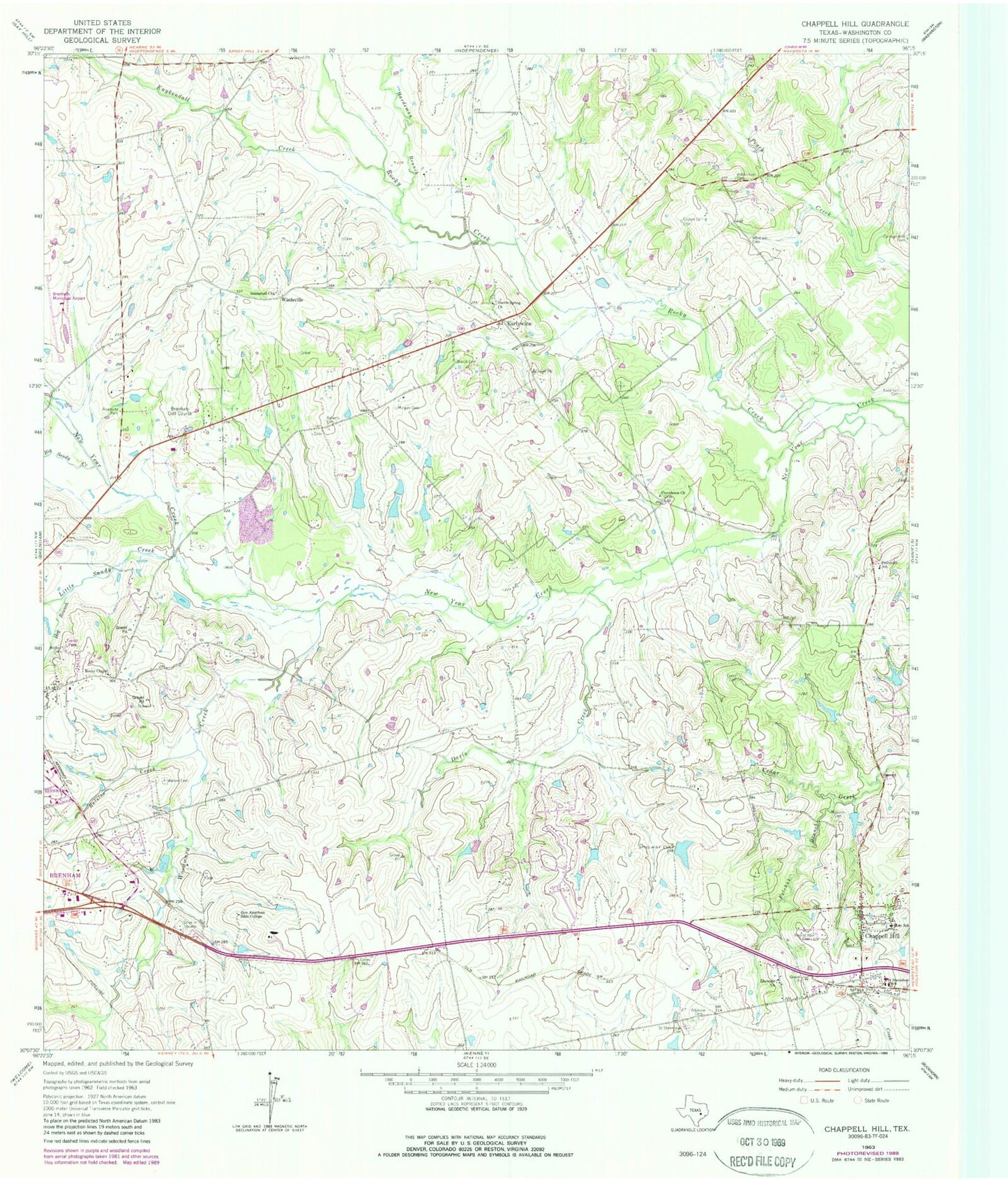
Classic USGS Chappell Hill Texas 7.5'x7.5' Topo Map
Couldn't load pickup availability
Historical USGS topographic quad map of Chappell Hill in the state of Texas. Typical map scale is 1:24,000, but may vary for certain years, if available. Print size: 24" x 27"
This quadrangle is in the following counties: Washington.
The map contains contour lines, roads, rivers, towns, and lakes. Printed on high-quality waterproof paper with UV fade-resistant inks, and shipped rolled.
Contains the following named places: Atkinson Cemetery, Baptist Hill Cemetery, Big Sandy Creek, Burch Cemetery, Campground Cemetery, Chappell Hill, Coplyn Spring Cemetery, Cress Cemetery, Davis Creek, Ebenezer Church, Felchak Branch, Hardeman Branch, Harris Spring Church, Hogans High School, Immanuel Church, Kuykendall Creek, Little Sandy Creek, Masonic Cemetery, Morgan Cemetery, Petersville School, Providence Church, Ralston Creek, Guyton and Roberts Cemetery, Rocky Chapel, Saint Stanislaus Cemetery, Saint Stanislaus School, Walker Cemetery, Walker - Sandy Creek Cemetery, Whitfield Cemetery, Willingham Cemetery, Woodward Creek, Zion American Bible College, Hog Branch, Rocky Creek, Earlywine, Wiedeville, Brenham Golf Course, Brenham Municipal Airport, Research Farms Lake Dam, Research Farms Lake, Clarann Lake Dam, Stolz Lake Dam, Stolz Lake, Lake Number 1 Dam, Lake Number 1, Brenham Intermediate School, Brenham Middle School, Chappell Hill Female College (historical), Chappell Hill Historical Museum, John Sterling Smith Junior House, James Walker Log House, J R Routt House, Isaac Applewhite House, E King Felder House, Chappell Hill Circulating Library, Chappell Hill Public School, Main Street Historic District, Chappell Hill Methodist Episcopal Church, William S Rogers House, Waverly House, W W Browning House, Stage Coach Inn, Chappell Hil Volunteer Fire Department, Meyersville Volunteer Fire Department, Chappell Hill Post Office


