MyTopo
Classic USGS Chappells South Carolina 7.5'x7.5' Topo Map
Couldn't load pickup availability
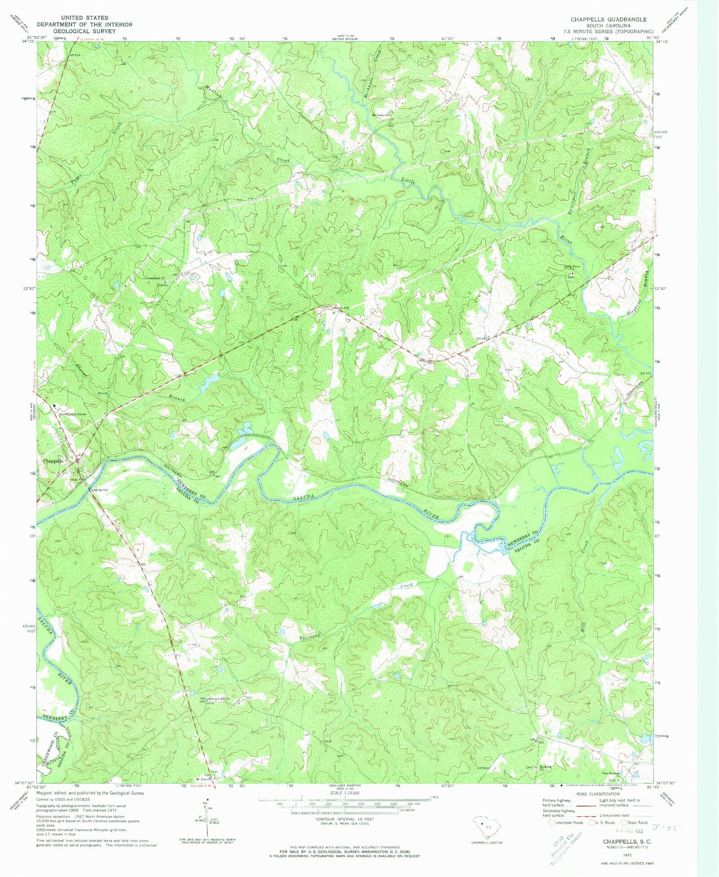
Historical USGS topographic quad map of Chappells in the state of South Carolina. Typical map scale is 1:24,000, but may vary for certain years, if available. Print size: 24" x 27"
This quadrangle is in the following counties: Greenwood, Newberry, Saluda.
The map contains contour lines, roads, rivers, towns, and lakes. Printed on high-quality waterproof paper with UV fade-resistant inks, and shipped rolled.
Contains the following named places: Davenport Branch, Mount Nebo Church, Mount Zion Church, Pages Creek, Sharps Branch, Stephens Branch, Terrapin Creek, Turners Branch, Dan Watkins School (historical), Old Town Ferry (historical), Ridge Spring School (historical), Mechanic Creek, Sandy Run Creek, Ellis (historical), Hope Union School (historical), Pine Pleasant Cemetery, Halfway Swamp Creek, Little River Church, Mill Creek, Branch Hill Church, Chappells, Crossroads Church, Mount Enon Church, Mudlick Creek, Pine Pleasant Church, Oldtown (historical), Chappells Division