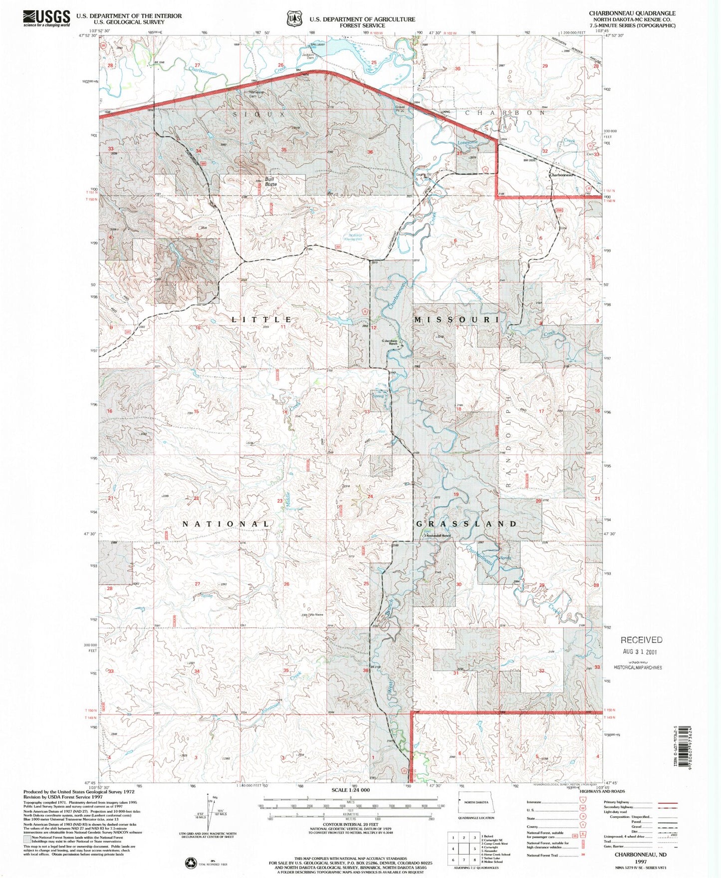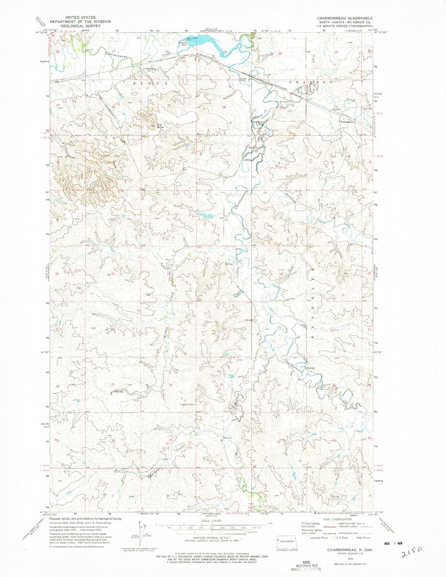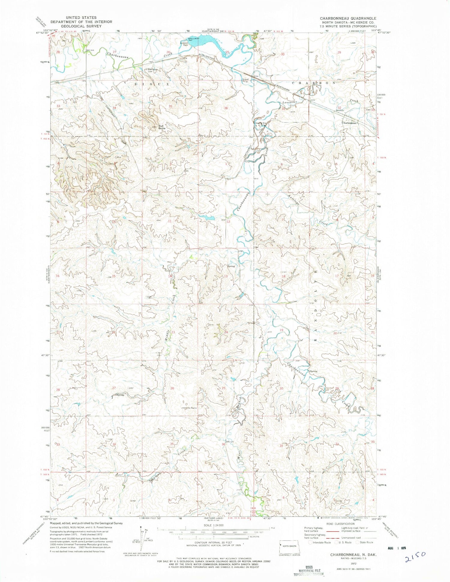
MyTopo
Classic USGS Charbonneau North Dakota 7.5'x7.5' Topo Map
Couldn't load pickup availability
Historical USGS topographic quad map of Charbonneau in the state of North Dakota. Map scale may vary for some years, but is generally around 1:24,000. Print size is approximately 24" x 27"
This quadrangle is in the following counties: McKenzie.
The map contains contour lines, roads, rivers, towns, and lakes. Printed on high-quality waterproof paper with UV fade-resistant inks, and shipped rolled.
Contains the following named places: Allred County, Antelope Creek, Bull Butte, Charbonneau, Charbonneau Cemetery, G Jacobsen Ranch, J Kykendall Ranch, Jackson Dam, Jacobson Flowing Water Well, Johntown Creek, L Tjelde Ranch, Lonesome Creek, Middle Creek, N Rod Ranch, Nameless Cemetery, V Foreman Ranch, West Branch Charbonneau Creek