MyTopo
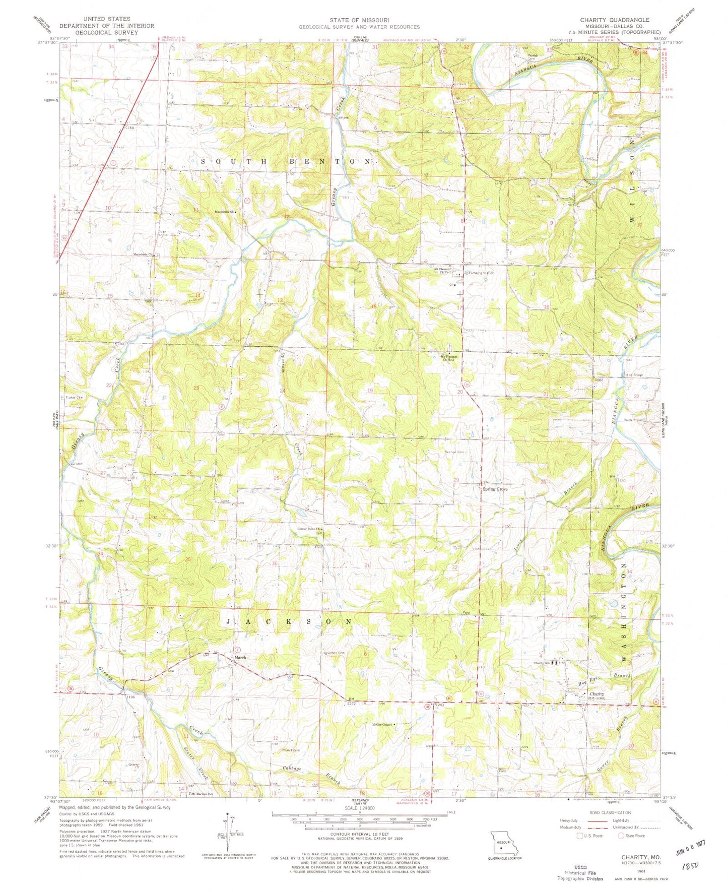
Classic USGS Charity Missouri 7.5'x7.5' Topo Map
Couldn't load pickup availability
Historical USGS topographic quad map of Charity in the state of Missouri. Map scale may vary for some years, but is generally around 1:24,000. Print size is approximately 24" x 27"
This quadrangle is in the following counties: Dallas.
The map contains contour lines, roads, rivers, towns, and lakes. Printed on high-quality waterproof paper with UV fade-resistant inks, and shipped rolled.
Contains the following named places: Bannon Cemetery, Boyd, Buffalo Branch, Buffalo Rural Fire Department Station 2, Cabbage Branch, Center Point Church, Charity, Charity Christian Church Cemetery, Charity School, Davidson Cemetery, Flint Ridge School, Fraker Cemetery, Gower Branch, Hankens Branch, Hico, Hico Bridge, Hog Eye Branch, Jones Branch, Lauries Landing Airport, Macedonia Cemetery, Macedonia Church, Macedonia School, March, March School, McGee Chapel, Mount Harmon School, Mount Pleasant Church Number 1, Mount Pleasant Church Number 2, Olive Leaf School, Opossum Creek, Powell Cemetery, Spring Grove, Staten Creek, Township of Jackson, Township of South Benton, Wollard Cemetery, ZIP Code: 65644


