MyTopo
Classic USGS Charles City Virginia 7.5'x7.5' Topo Map
Couldn't load pickup availability
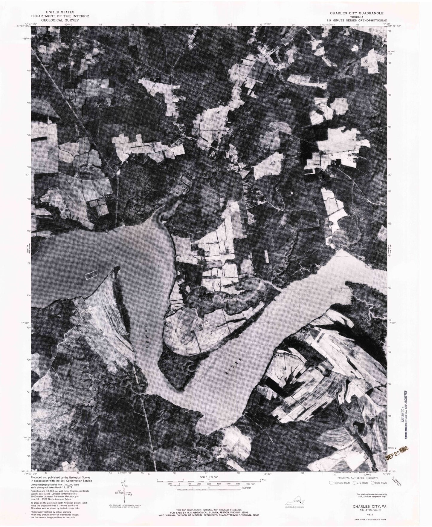
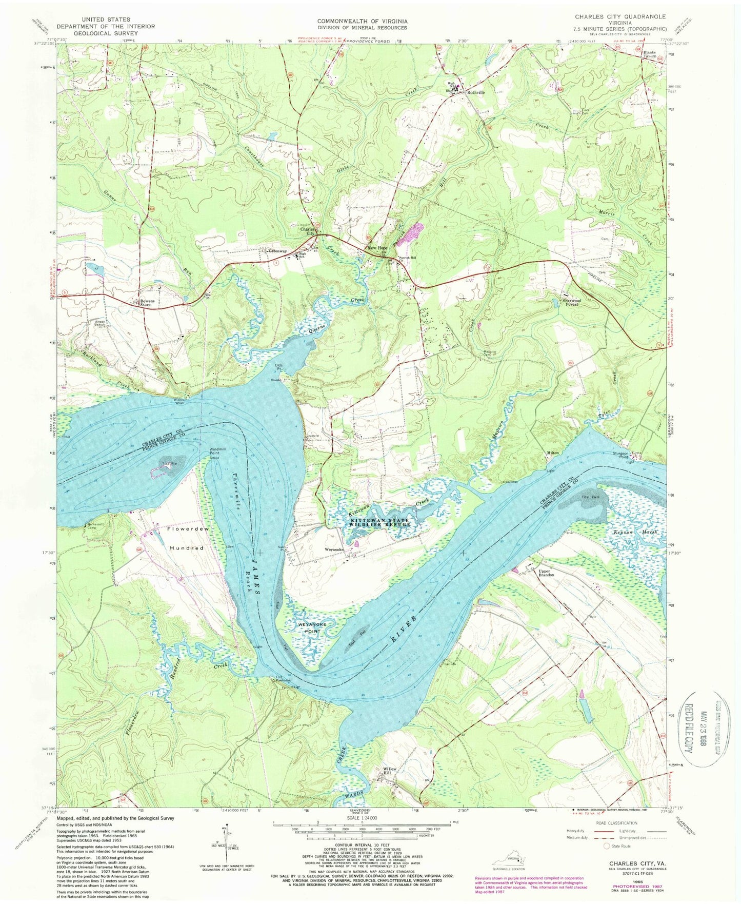
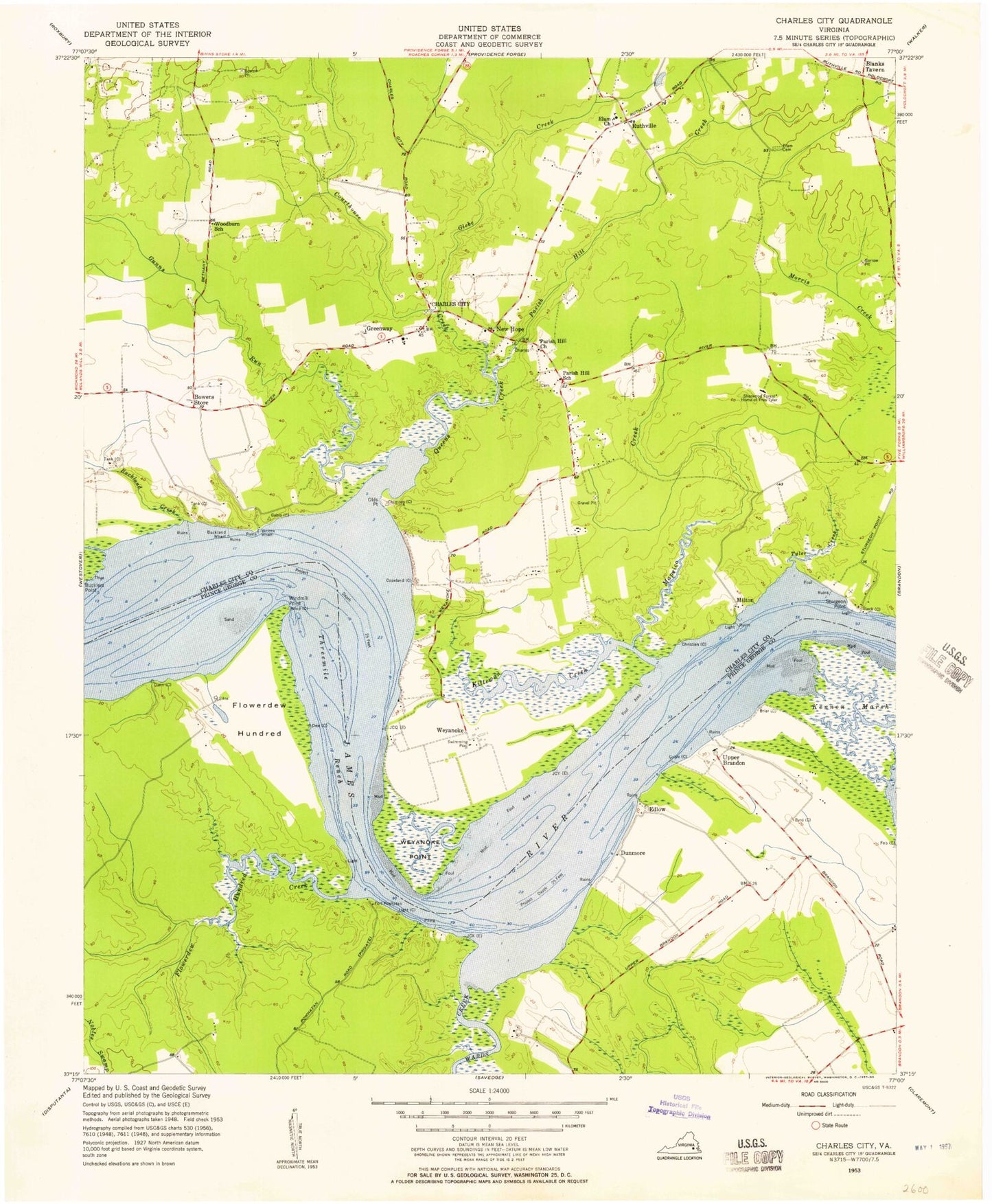
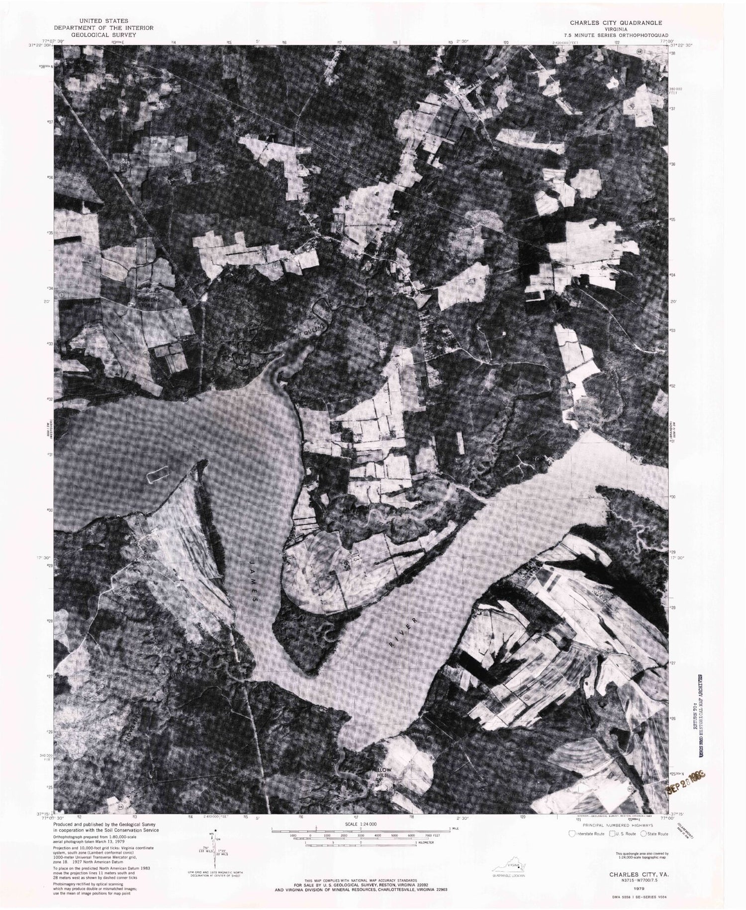
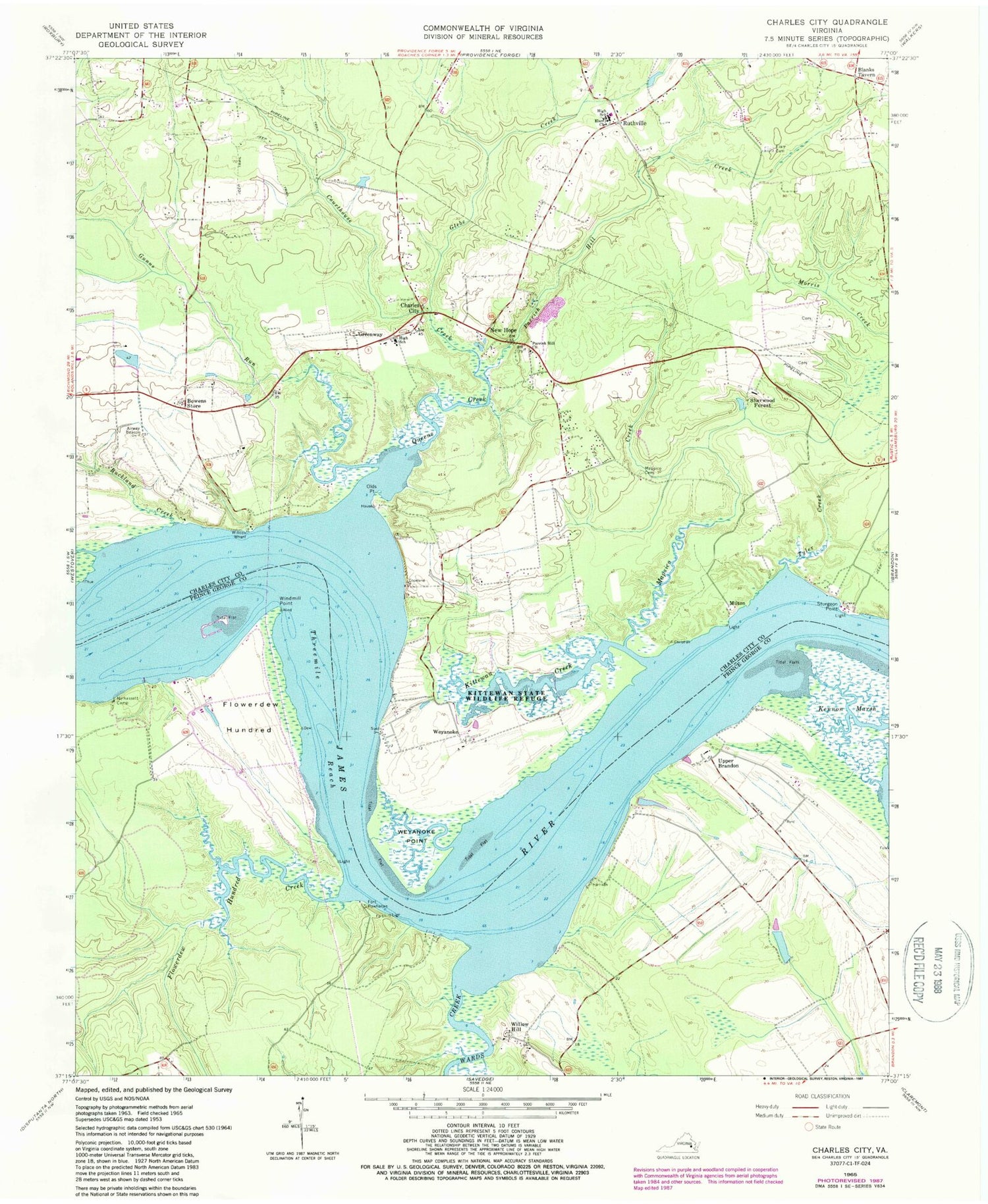
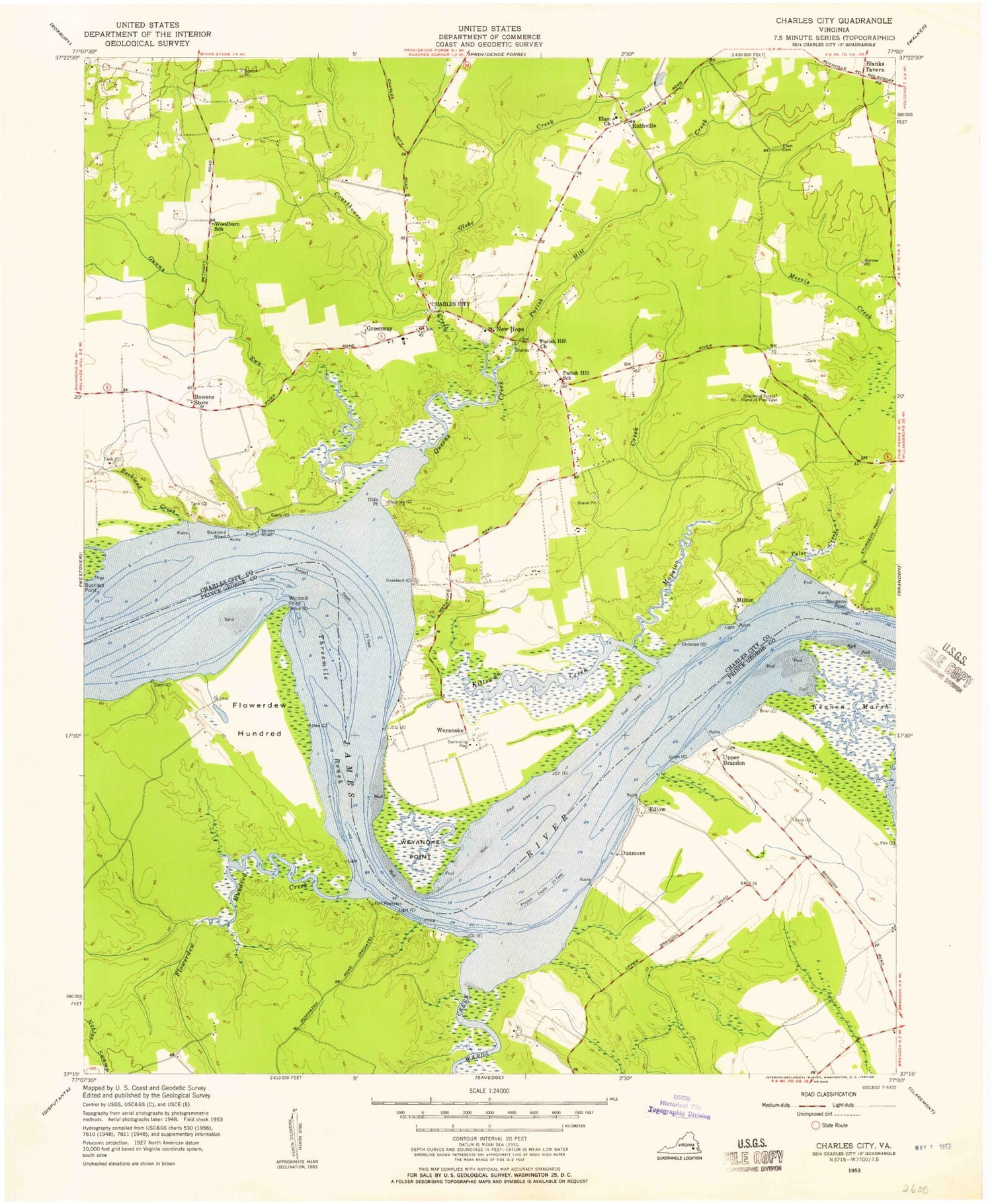
Historical USGS topographic quad map of Charles City in the state of Virginia. Typical map scale is 1:24,000, but may vary for certain years, if available. Print size: 24" x 27"
This quadrangle is in the following counties: Charles City, Prince George.
The map contains contour lines, roads, rivers, towns, and lakes. Printed on high-quality waterproof paper with UV fade-resistant inks, and shipped rolled.
Contains the following named places: Flowerdew Hundred, Flowerdew Hundred Creek, Kennon Marsh, Nelhassett Camp, Wards Creek, Windmill Point, Upper Brandon, Threemile Reach, Dunnmore, Ruffins Wharf, Sevenmile Reach, Upper Brandon Farms Wharf, Blanks Tavern, Bowens Store, Buckland Creek, Courthouse Creek, Elam Baptist Church Cemetery, Elam Church, Glebe Creek, Gunns Run, Kittewan Creek, Mapsico Cemetery, Mapsico Creek, Olds Point, Parrish Hill Church, Parrish Hill Creek, Sturgeon Point, Tyler Creek, Weyanoke Point, Willcox Wharf, Charles City County, Cerneys Dam, Cerneys Pond, Fort Powhatan, Greenway, Milton, New Hope, Ruthville, Sherwood Forest, Willow Hill, Weyanoke, Charles City, Queens Creek, Charles City Elementary School, Charles City High School, Wyanoke Neck, Wyanoke Wharf, Flowerdew Hundred Plantation, Tyler Magisterial District, Charles City County Sheriff's Office, Charles City County Sheriff's Office, Charles City Middle School, Charles City Post Office, Ruthville Post Office, Memorial United Methodist Church, Charles City Census Designated Place, Flowerdew Hundred, Flowerdew Hundred Creek, Kennon Marsh, Nelhassett Camp, Wards Creek, Windmill Point, Upper Brandon, Threemile Reach, Dunnmore, Ruffins Wharf, Sevenmile Reach, Upper Brandon Farms Wharf, Blanks Tavern, Bowens Store, Buckland Creek, Courthouse Creek, Elam Baptist Church Cemetery, Elam Church, Glebe Creek, Gunns Run, Kittewan Creek, Mapsico Cemetery, Mapsico Creek, Olds Point, Parrish Hill Church, Parrish Hill Creek, Sturgeon Point, Tyler Creek, Weyanoke Point, Willcox Wharf, Charles City County, Cerneys Dam, Cerneys Pond, Fort Powhatan, Greenway, Milton, New Hope, Ruthville, Sherwood Forest, Willow Hill, Weyanoke, Charles City, Queens Creek, Charles City Elementary School, Charles City High School, Wyanoke Neck, Wyanoke Wharf, Flowerdew Hundred Plantation, Tyler Magisterial District, Charles City County Sheriff's Office, Charles City County Sheriff's Office, Charles City Middle School, Charles City Post Office, Ruthville Post Office, Memorial United Methodist Church, Charles City Census Designated Place
