
MyTopo
Classic USGS Charleston Reservoir Nevada 7.5'x7.5' Topo Map
Couldn't load pickup availability
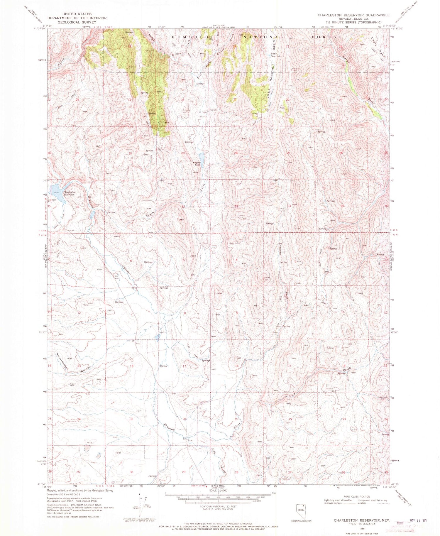
Historical USGS topographic quad map of Charleston Reservoir in the state of Nevada. Map scale may vary for some years, but is generally around 1:24,000. Print size is approximately 24" x 27"
This quadrangle is in the following counties: Elko.
The map contains contour lines, roads, rivers, towns, and lakes. Printed on high-quality waterproof paper with UV fade-resistant inks, and shipped rolled.
Contains the following named places: Chalk Basin, Charleston Reservoir, Charleston Reservoir Dam, Chevelier Ranch, Coyote Creek, Coyote Lake, East Fork Willow Creek, Hidden Fork, Little Reservoir, Little Reservoir Basin, Lostra Ranch, Lostra Spring, Mason Creek, Prunty Spring, Rattlesnake Canyon, Seventyone Camp, Stag Creek, Stud Creek, Stud Creek Basin, Wash Spring


