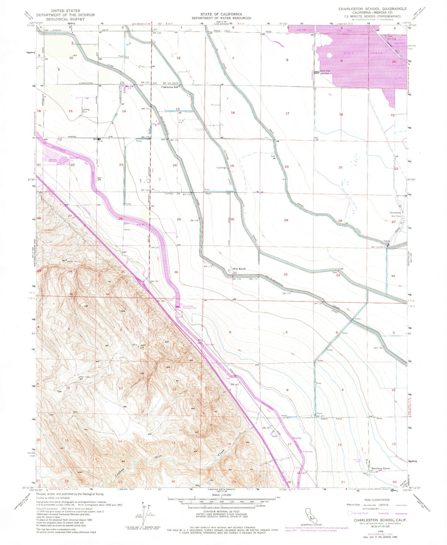
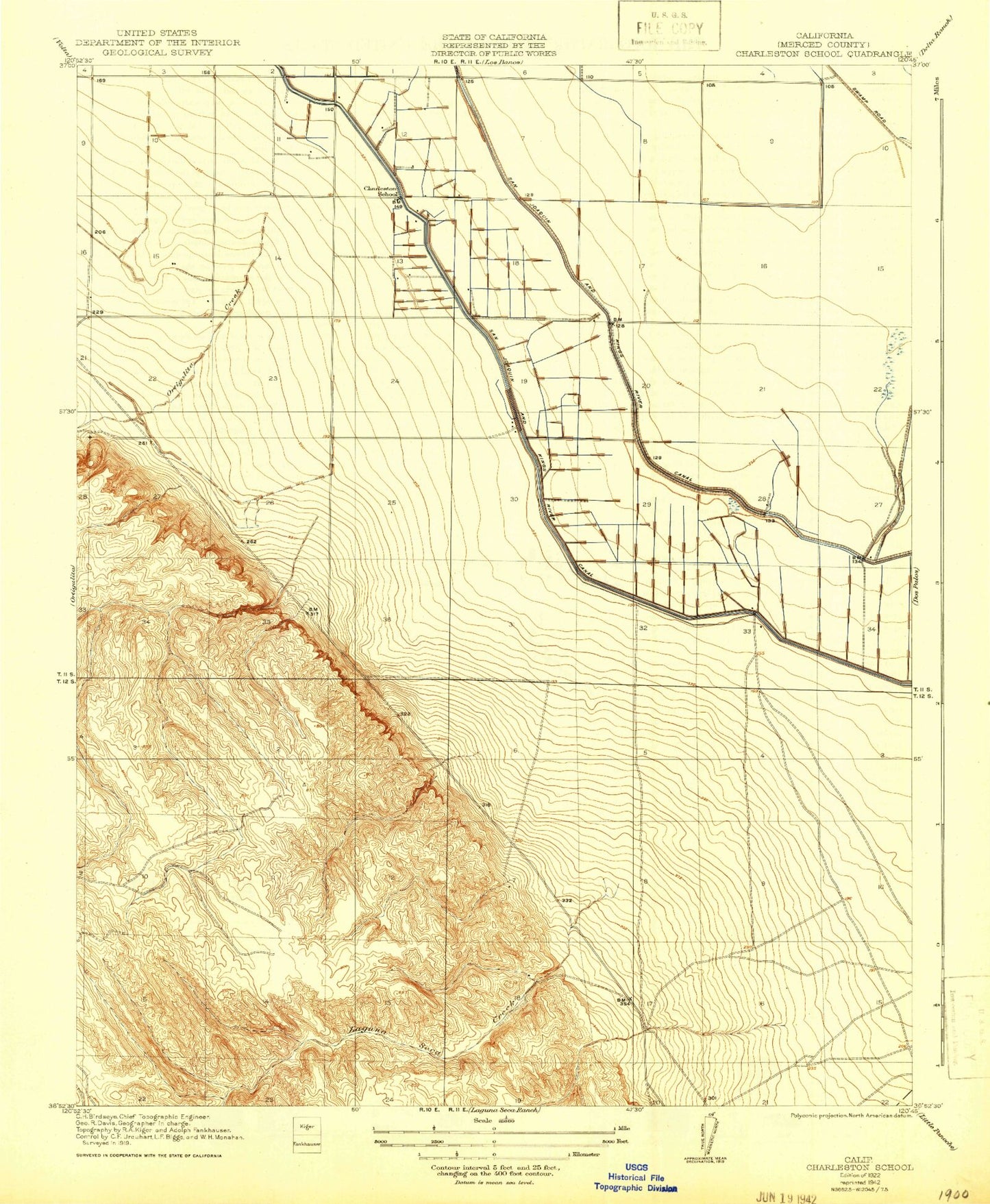
MyTopo
Classic USGS Charleston School California 7.5'x7.5' Topo Map
Couldn't load pickup availability
Historical USGS topographic quad map of Charleston School in the state of California. Map scale may vary for some years, but is generally around 1:24,000. Print size is approximately 24" x 27"
This quadrangle is in the following counties: Fresno, Merced.
The map contains contour lines, roads, rivers, towns, and lakes. Printed on high-quality waterproof paper with UV fade-resistant inks, and shipped rolled.
Contains the following named places: Brito Gun Club, Camp 13, Camp Thirteen Slough, Charieston Elementary School, Dos Amigos Management Area, Dos Amigos Pumping Plant, Gadwall Canal, Hamburg Farms, Hamburg Ranch School, Laguna Seca Creek, Outside Canal, Santa Cruz Gun Club, Sportsmens Gun Club, Woo Ranch