MyTopo
Classic USGS Charleston Arkansas 7.5'x7.5' Topo Map
Couldn't load pickup availability
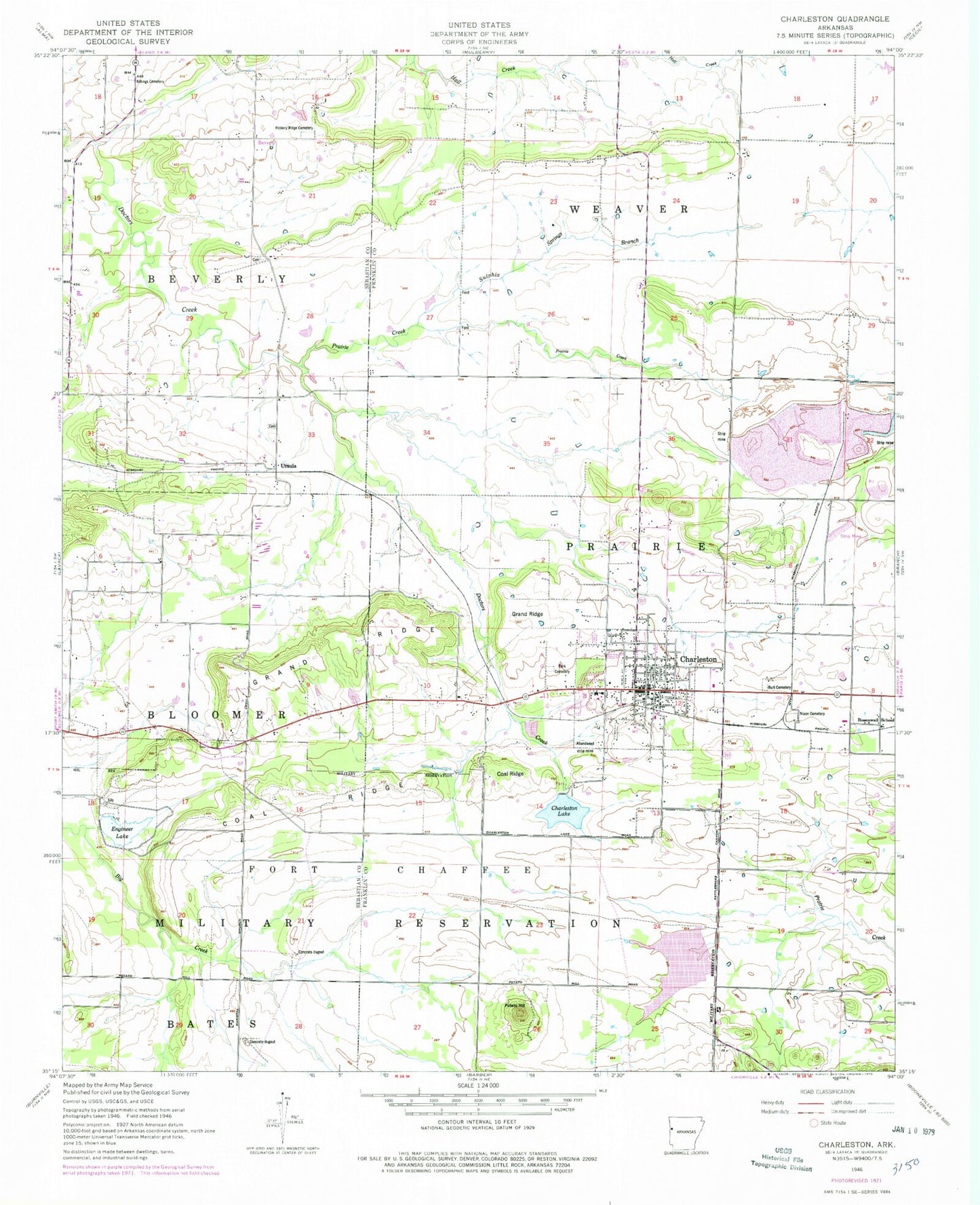
Historical USGS topographic quad map of Charleston in the state of Arkansas. Map scale may vary for some years, but is generally around 1:24,000. Print size is approximately 24" x 27"
This quadrangle is in the following counties: Franklin, Sebastian.
The map contains contour lines, roads, rivers, towns, and lakes. Printed on high-quality waterproof paper with UV fade-resistant inks, and shipped rolled.
Contains the following named places: Beverly, Burt Cemetery, Carruth Cemetery, Carter Cemetery, Charleston, Charleston Elementary School, Charleston Fire and Rescue Department, Charleston High School, Charleston Lake, Charleston Police Department, Charleston Post Office, City of Charleston, Coal Ridge, Darby Lake, Doctors Fork, Engineer Lake, Engineer Lake Dam, Garden Of Memories Cemetery, Grand Ridge, Hickory Ridge Cemetery, Killings Cemetery, Lake Charleston Dam, Marietta Church, Morrow Cemetery, Nixon Cemetery, Parks Cemetery, Potato Hill, Prairie Creek, Rosenwall School, Sacred Heart Cemetery, Singleton Cemetery, Sixmile Creek Site 14 Dam, Sixmile Creek Site 14 Reservoir, Sulphia Springs Branch, Thessing, Township of Beverly, Township of Bloomer, Township of Prairie, Township of Weaver, Ursula, ZIP Code: 72933