MyTopo
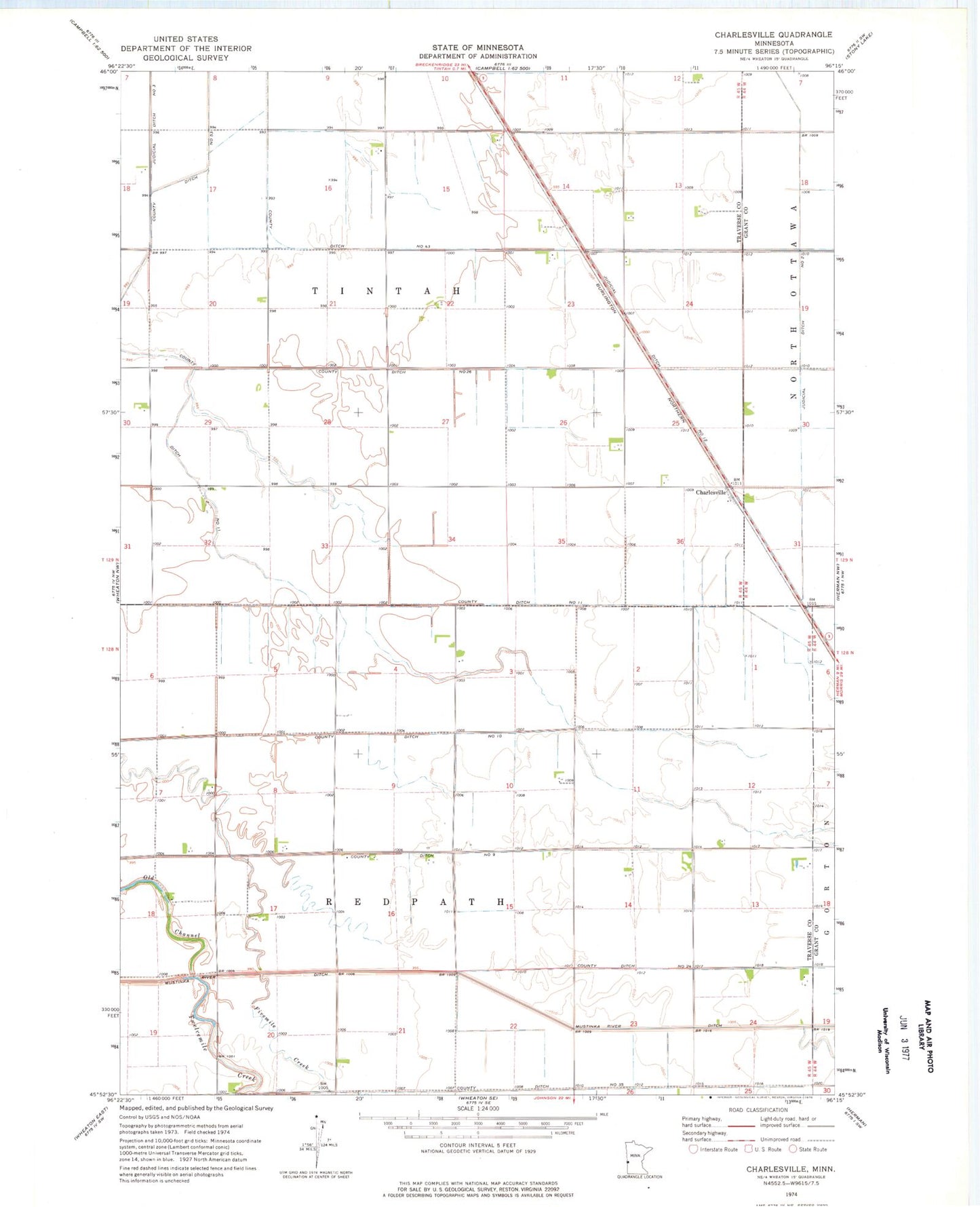
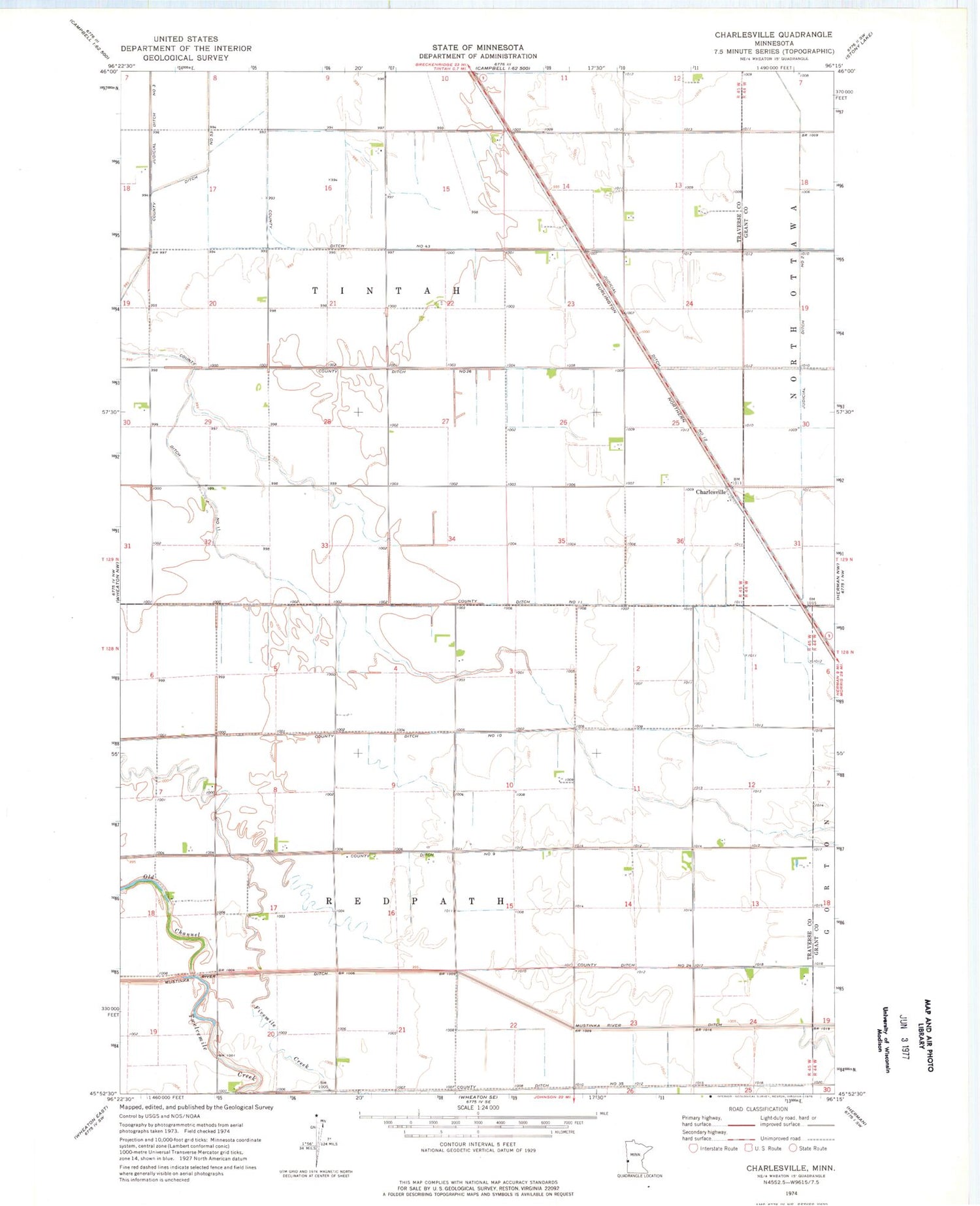
Classic USGS Charlesville Minnesota 7.5'x7.5' Topo Map
Couldn't load pickup availability
Historical USGS topographic quad map of Charlesville in the state of Minnesota. Map scale may vary for some years, but is generally around 1:24,000. Print size is approximately 24" x 27"
This quadrangle is in the following counties: Grant, Traverse.
The map contains contour lines, roads, rivers, towns, and lakes. Printed on high-quality waterproof paper with UV fade-resistant inks, and shipped rolled.
Contains the following named places: Charlesville, County Ditch Number Eleven, County Ditch Number Fiftythree, County Ditch Number Fortythree, County Ditch Number Nine, County Ditch Number Ten, County Ditch Number Thirtyfive, County Ditch Number Twentyfour, County Ditch Number Twentysix, Judicial Ditch Number Twelve, Judicial Ditch Number Two, Mustinka River Ditch, School Number 14, School Number 41, Township of Redpath, Township of Tintah, Twelvemile Creek