MyTopo
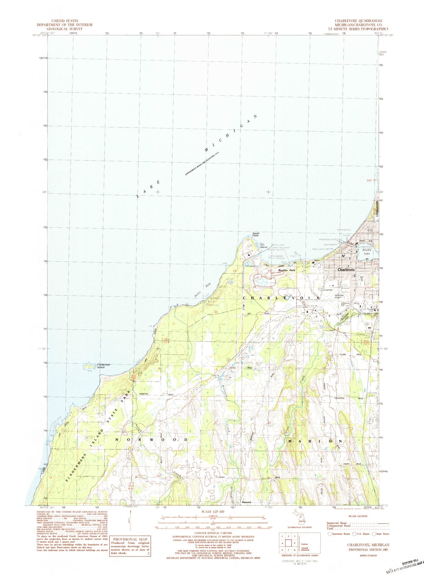
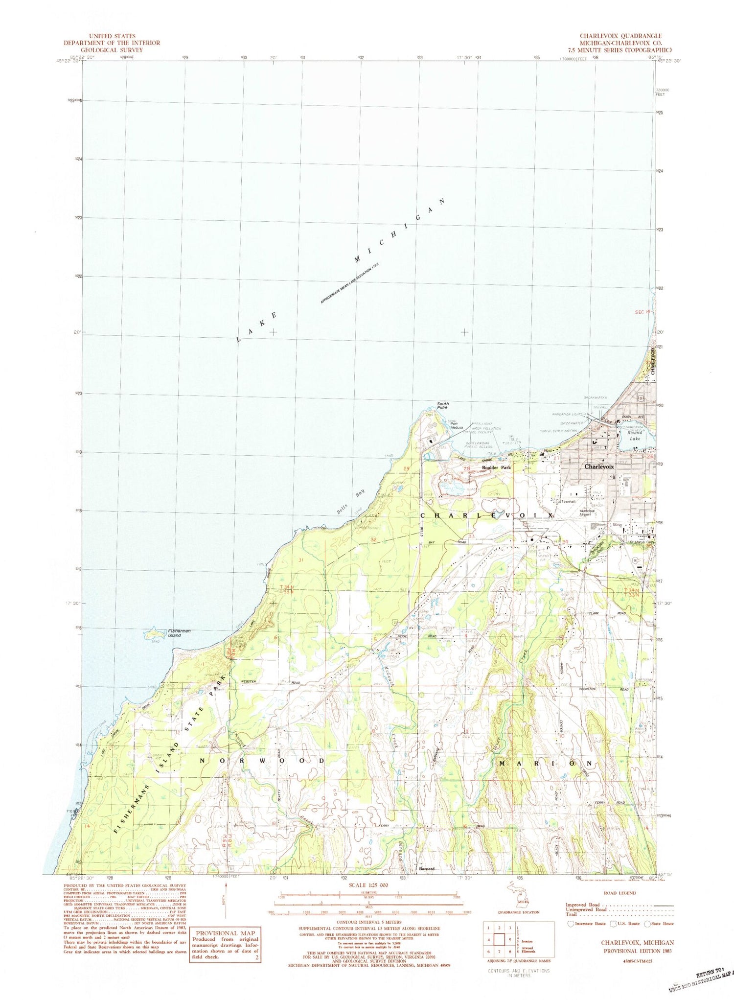
Classic USGS Charlevoix Michigan 7.5'x7.5' Topo Map
Couldn't load pickup availability
Historical USGS topographic quad map of Charlevoix in the state of Michigan. Map scale may vary for some years, but is generally around 1:24,000. Print size is approximately 24" x 27"
This quadrangle is in the following counties: Charlevoix.
The map contains contour lines, roads, rivers, towns, and lakes. Printed on high-quality waterproof paper with UV fade-resistant inks, and shipped rolled.
Contains the following named places: Barnard, Barnard Cemetery, Barnard Creek, Barnard Post Office, Beaver Island Boat Company, Bellinger Marine Service, Bells Bay, Belvedere Golf Club, Belvedere Post Office, Belvedere Station, Boulder Park, Bridge Park, Brookside Cemetery, Charlevois Great Lakes Fisheries Station, Charlevoix, Charlevoix Area Hospital, Charlevoix County Sheriff's Office, Charlevoix Estates, Charlevoix Fire Department, Charlevoix Foot Clinic, Charlevoix High School, Charlevoix Lighthouse, Charlevoix Middle School, Charlevoix Municipal Airport, Charlevoix Municipal Dock, Charlevoix Police Department, Charlevoix Post Office, Charlevoix Public Library, Charlevoix Township Fire Department Station 2, Charlevoix United Methodist Church, Christ Episcopal Church, Church of Jesus Christ of Latter Day Saints, City of Charlevoix, Community Church of God, East Park, First Baptist Church, First Congregational Church, Fisherman Island, Fishermans Island State Park, Gillespie Oil and Transit, Grand Army of the Republic Cemetery, Harbor Yacht Sales, Inwood Creek, Inwood Post Office, Lake Michigan Beach, Lake Michigan Heights Mobile Home Park, Manthei Pit, McGeach Creek, Medusa Cement Company, Mormon Kingdom Historical Marker, North Pier Light, Pine River, Port Medusa, Rotary Park, Round Lake, Saint Mary's Catholic Church, Saint Mary's Catholic School, Saint Marys Cemetery, South Pier Light, South Point, Township of Charlevoix, Township of Norwood, Walker Marine Incorporated, Ward Brothers Boats, WMKT-AM (Charlevoix)


