MyTopo
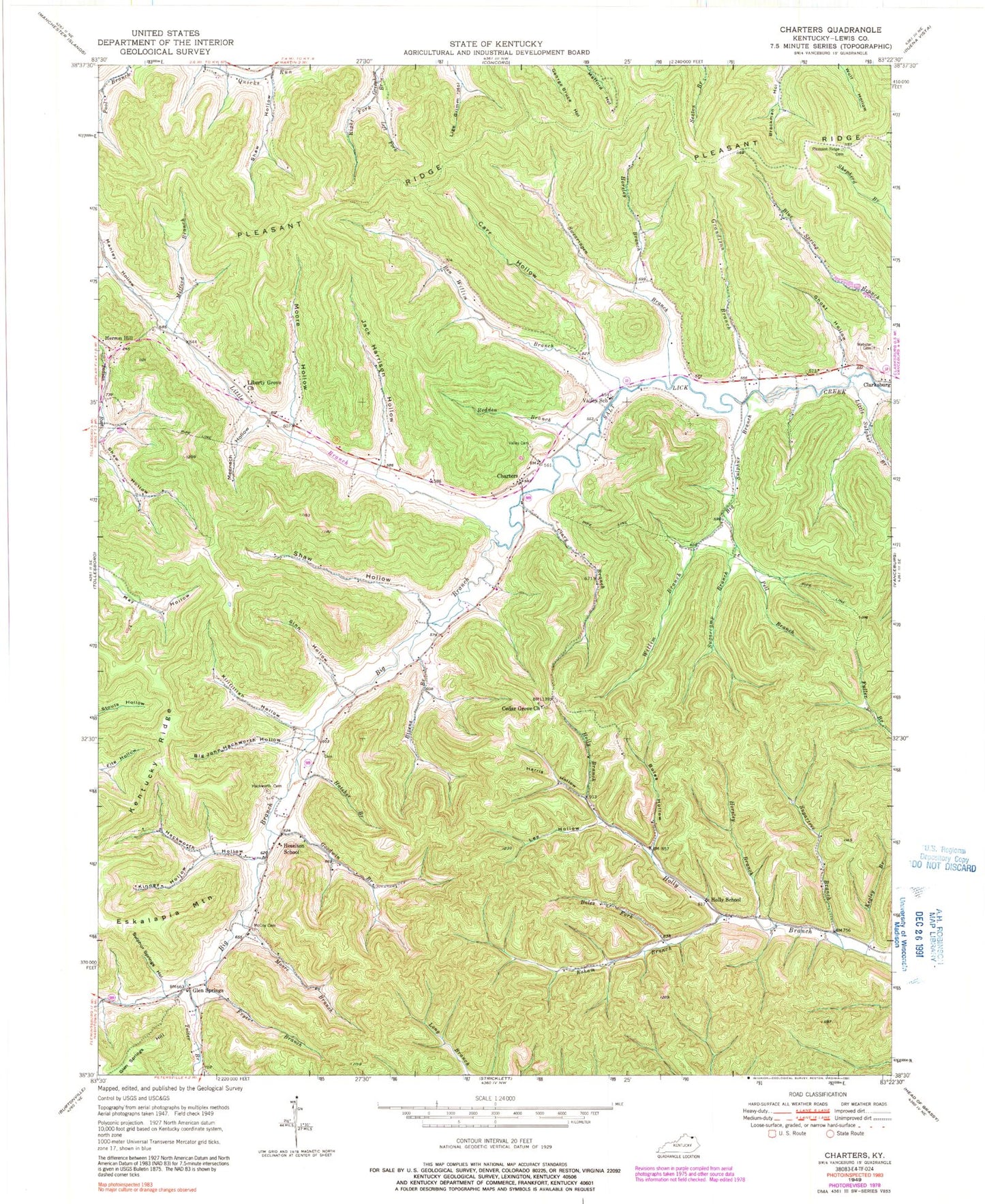
Classic USGS Charters Kentucky 7.5'x7.5' Topo Map
Couldn't load pickup availability
Historical USGS topographic quad map of Charters in the state of Kentucky. Map scale may vary for some years, but is generally around 1:24,000. Print size is approximately 24" x 27"
This quadrangle is in the following counties: Lewis.
The map contains contour lines, roads, rivers, towns, and lakes. Printed on high-quality waterproof paper with UV fade-resistant inks, and shipped rolled.
Contains the following named places: Ben Willim Branch, Big Branch, Big John Hackworth Hollow, Big Sulphur Branch, Bivens Branch, Boles Fork, Boles Hollow, Carr Hollow, Cedar Grove Church, Charters, Charters Post Office, Clary Branch, Esculapia Springs Historical Marker, Esham Branch, Fryer Branch, Ghost Hollow, Ginn Hollow, Glen Springs, Glen Springs Hill, Glen Springs Post Office, Goodwin Branch, Grandison Branch, Hackworth Cemetery, Hackworth Hollow, Harris Hollow, Hatcher Branch, Hazelton Post Office, Herron Hill, Heselton School, Holly School, Horsley Branch, Jack Harrison Hollow, Kegley Branch, Kentucky Ridge, Killfillian Hollow, Kinney Hollow, Lee Hollow, Left Fork Greenhow Branch, Lewis County, Liberty Church, Little Branch, Little Sulphur Branch, Magnificent Pin Oak Historical Marker, Manley Hollow, McCoy Cemetery, Meenach Hollow, Mefford Branch, Moore Branch, Moore Hollow, Pell Branch, Pleasant Ridge, Pleasant Ridge Cemetery, Redden Branch, Right Fork Greenhow Branch, Runyan Hollow, Shaw Hollow, Sugarcamp Branch, Sugartree Branch, Sulphur Springs Hollow, Swearingen Branch, Toller Branch, Valley Cemetery, Valley School, Webster Cemetery, Willim Branch, ZIP Code: 41179


