MyTopo
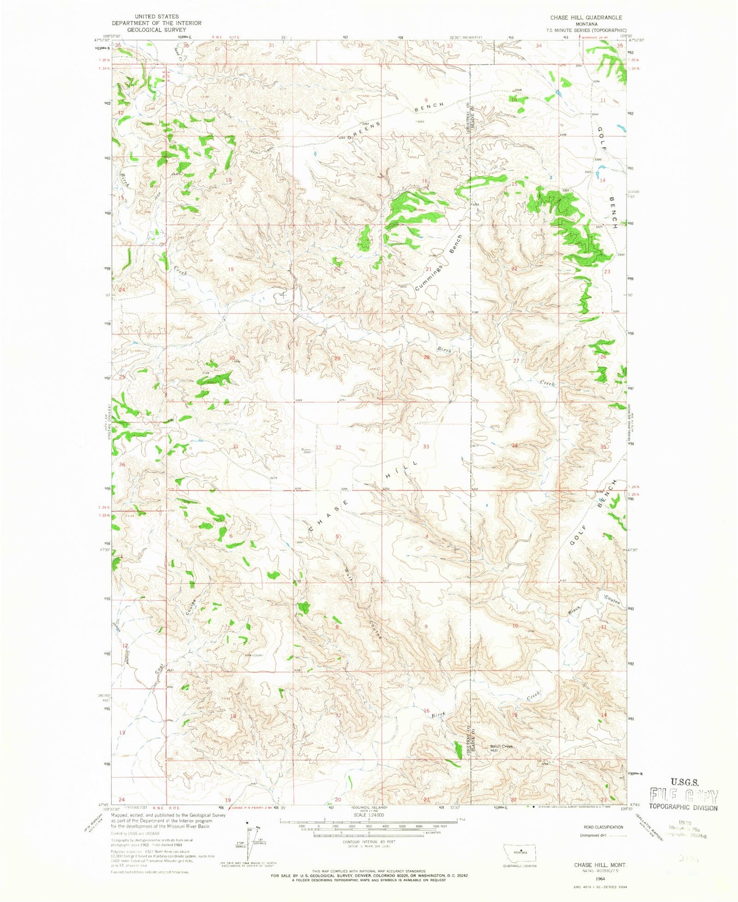
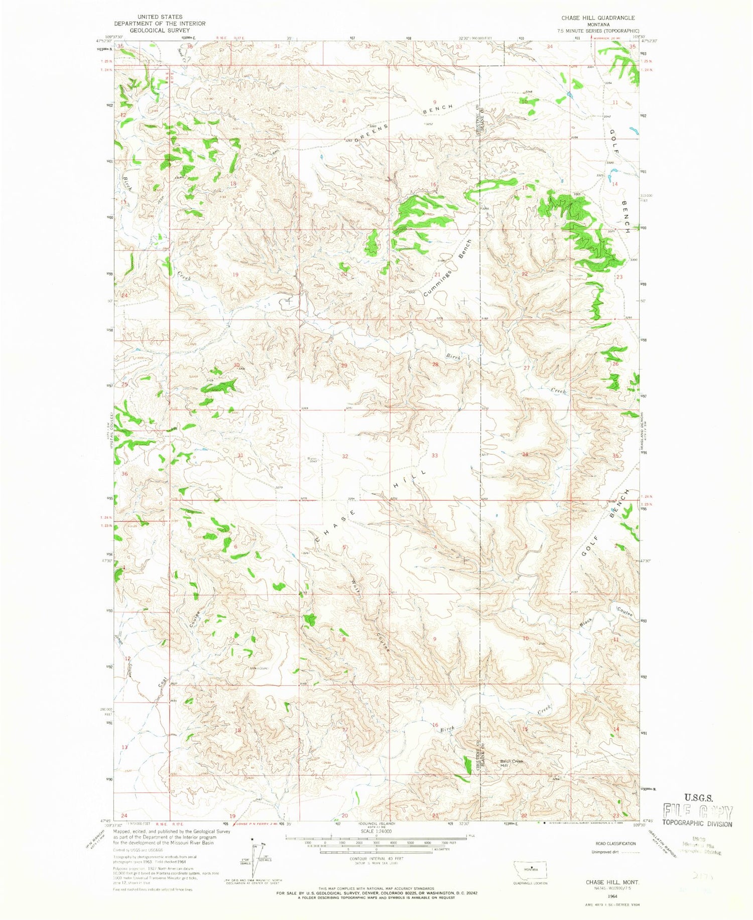
Classic USGS Chase Hill Montana 7.5'x7.5' Topo Map
Regular price
$16.95
Regular price
Sale price
$16.95
Unit price
per
Couldn't load pickup availability
Historical USGS topographic quad map of Chase Hill in the state of Montana. Map scale may vary for some years, but is generally around 1:24,000. Print size is approximately 24" x 27"
This quadrangle is in the following counties: Blaine, Chouteau.
The map contains contour lines, roads, rivers, towns, and lakes. Printed on high-quality waterproof paper with UV fade-resistant inks, and shipped rolled.
Contains the following named places: 24N17E08DDAB01 Well, Birch Creek Hill, Black Coulee, Chase Hill, Coal Coulee, Cummings Bench, Golf Bench, Greens Bench, Sand Creek, Wolf Coulee