MyTopo
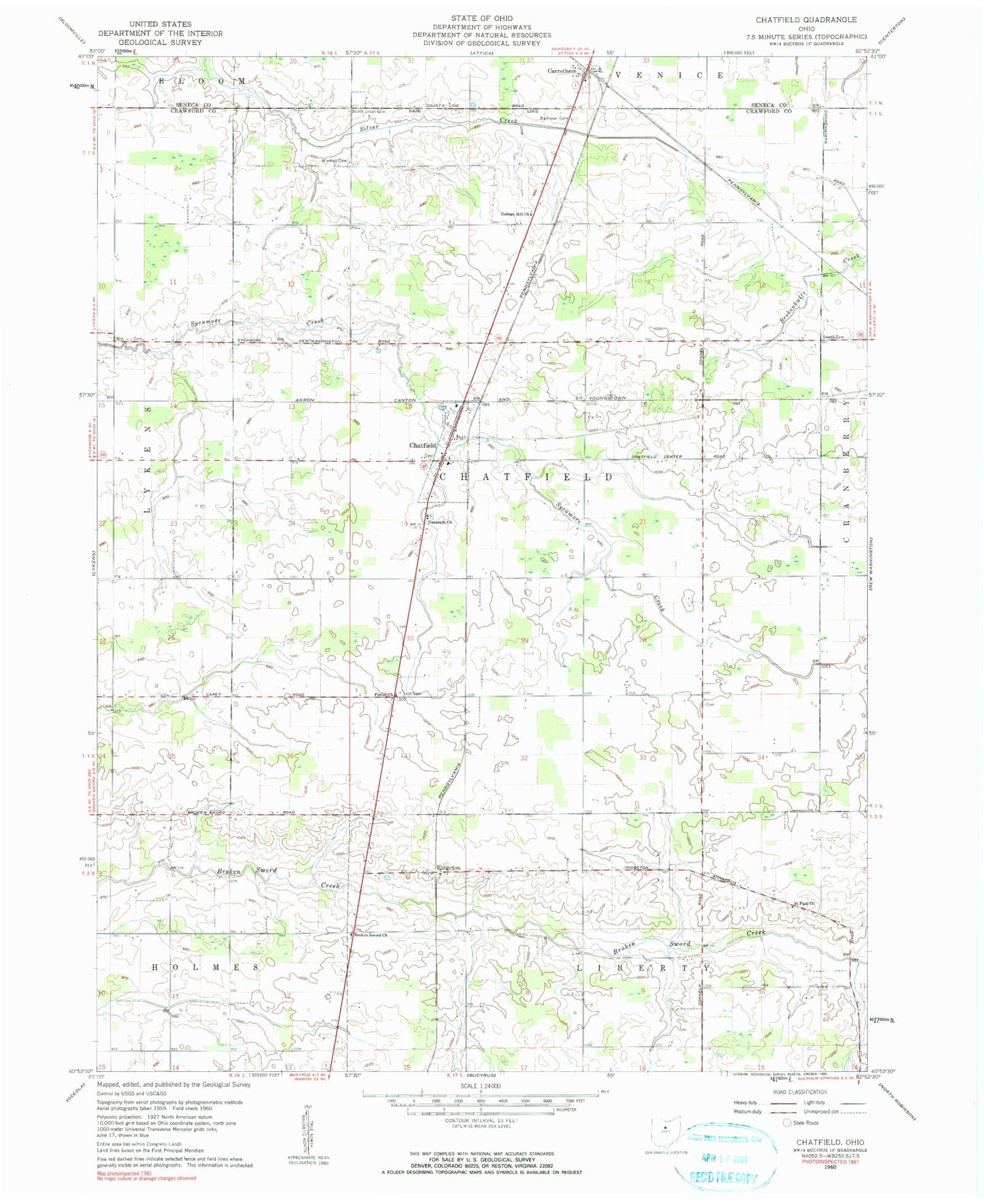
Classic USGS Chatfield Ohio 7.5'x7.5' Topo Map
Couldn't load pickup availability
Historical USGS topographic quad map of Chatfield in the state of Ohio. Map scale may vary for some years, but is generally around 1:24,000. Print size is approximately 24" x 27"
This quadrangle is in the following counties: Crawford, Seneca.
The map contains contour lines, roads, rivers, towns, and lakes. Printed on high-quality waterproof paper with UV fade-resistant inks, and shipped rolled.
Contains the following named places: Brenner Cemetery, Broken Sword Church, Buchman Cemetery, Buckeye West Elementary School, Carrothers, Carrothers Post Office, Chatfield, Chatfield Fire Department, Chatfield Post Office, Chatfield Township Cemetery, College Hill Church, College Hill Reformed Cemetery, Fauser, Heydinger School, Kennedy Cemetery, Lust Cemetery, Nazareth Church, Nazareth Lutheran Cemetery, North Union Cemetery, Pietist Church, Ridgeton, Saint Paul Church, Saint Paul Lutheran Cemetery, School Number 4, School Number 7, School Number 8, Schulze's Airport, Swaab Cemetery, Township of Chatfield, Village of Chatfield, Windfall Cemetery, Windfall Lutheran Church, ZIP Codes: 44818, 44825