MyTopo
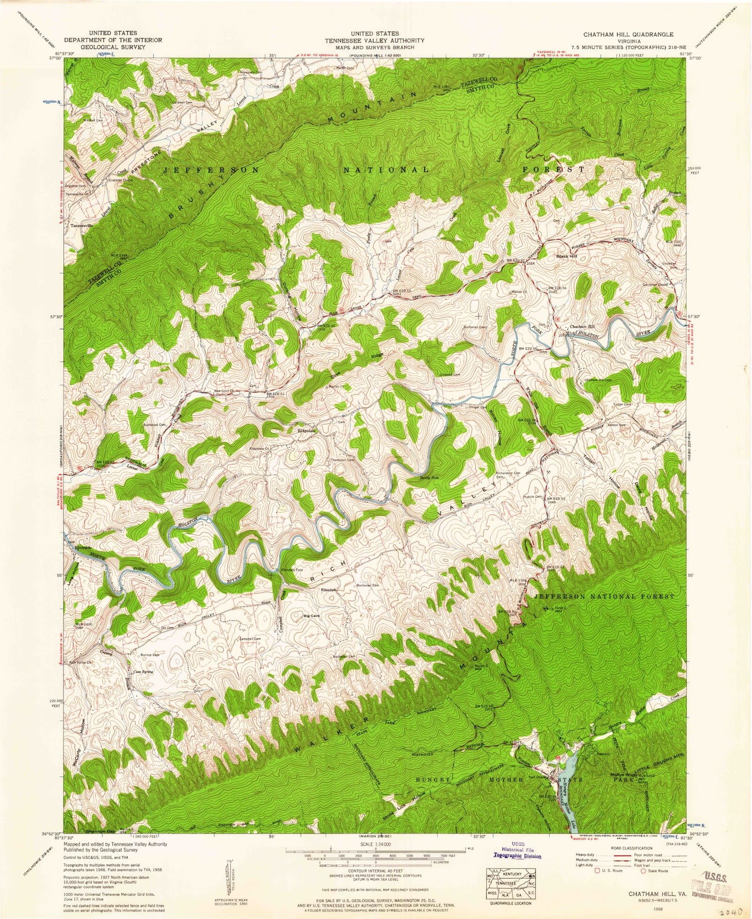
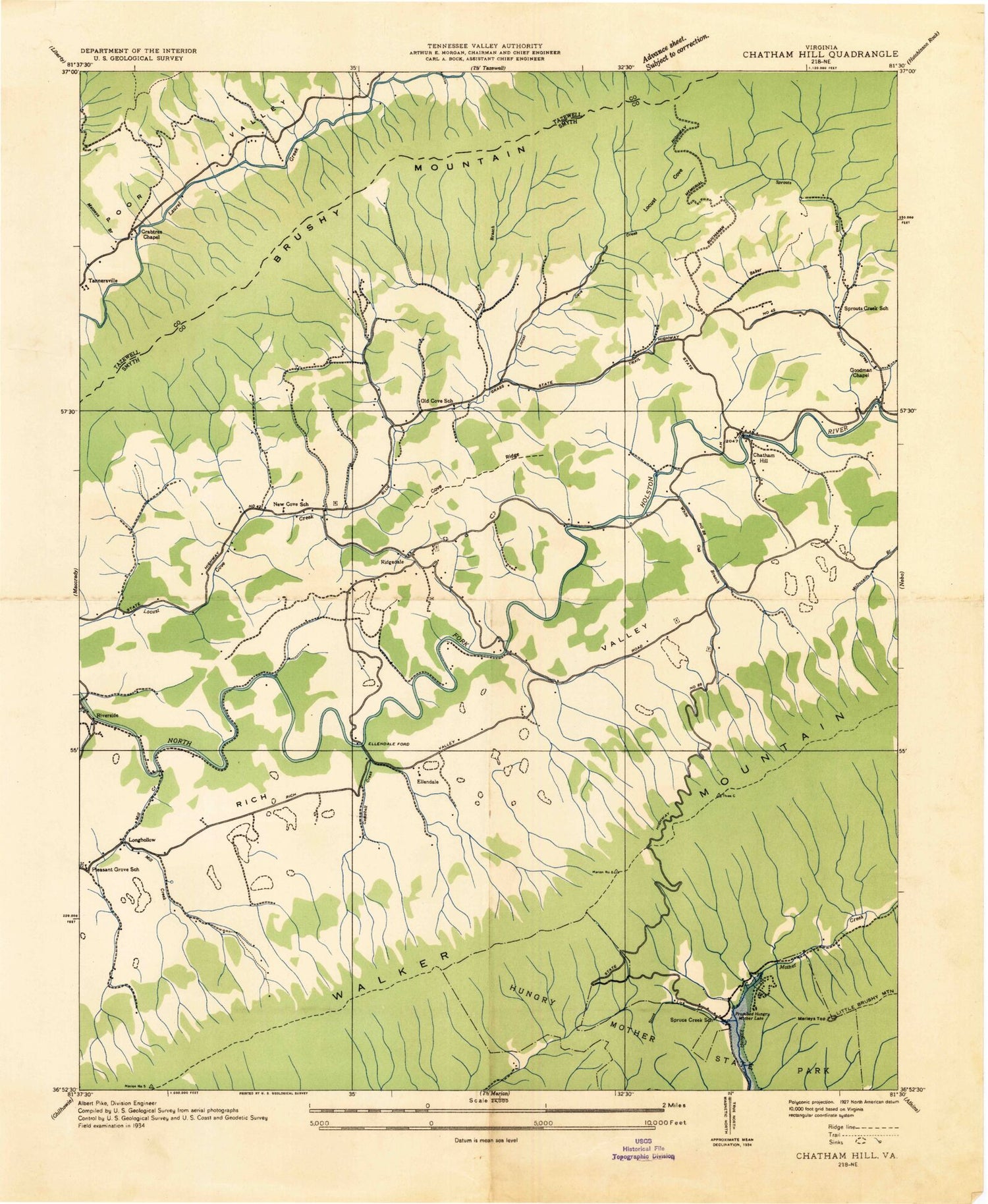
Classic USGS Chatham Hill Virginia 7.5'x7.5' Topo Map
Couldn't load pickup availability
Historical USGS topographic quad map of Chatham Hill in the state of Virginia. Typical map scale is 1:24,000, but may vary for certain years, if available. Print size: 24" x 27"
This quadrangle is in the following counties: Smyth, Tazewell.
The map contains contour lines, roads, rivers, towns, and lakes. Printed on high-quality waterproof paper with UV fade-resistant inks, and shipped rolled.
Contains the following named places: Baker Branch, Beartown Branch, Bently Hole, Buchanan Cemetery, Buchanan Cemetery, Buchanan Cemetery, Buchanan Cemetery, Burnop Cemetery, Caldwell Cemetery, Campbell Cemetery, Campbell Creek, Cave Spring, Chatham Hill, Chatham Hill Cemetery, Cove Ridge, Crabtree Cemetery, Crabtree Chapel, Crewey Branch, Cursing Hollow, Davis Hollow, Gillespie Cemetery, Goodman Cemetery, Goodman Chapel, Hubble Cemetery, Hungry Mother State Park, Little Beartown Branch, Little Sprouts Creek, Locust Cove, Long Hollow, Martin Cemetery, Matneys Branch, McCarty Hollow, Mitchell Cemetery, Mollys Knob, Necessary Cemetery, New Cove Church, Olinger Cemetery, Orr Cemetery, Park Chapel, Pauly Branch, Rich Valley Church, Richardson Cemetery, Ridgedale Church, Rocko Hollow, Sexton Cemetery, Sprouts Creek, Tannersville Church, Thompson Cemetery, Totten Cemetery, Totten Hollow, White Oak Branch, Black Hill, Ellendale, Ellendale Ford, Ridgedale, Longhollow (historical), New Cove School (historical), Old Cove School (historical), Pleasant Grove School (historical), Sprouts Creek School (historical), WMEV-FM (Marion), WOLD-FM (Marion), WMSY-TV (Marion), North Fork District, Park District, Nebo Volunteer Fire Department Station 1, Saltville Rescue Squad Substation, Tannersville Post Office


