
MyTopo
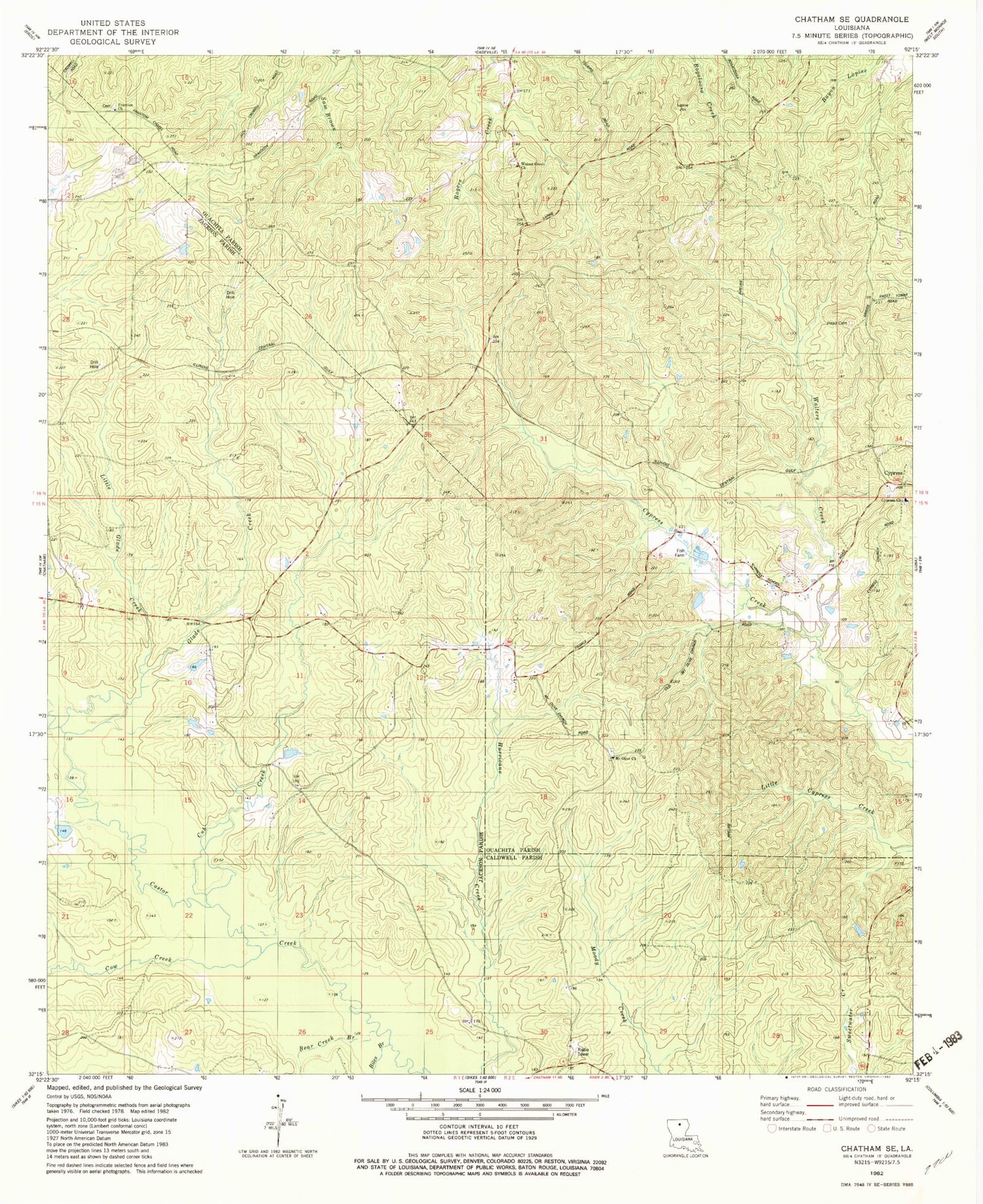
Classic USGS Chatham SE Louisiana 7.5'x7.5' Topo Map
Couldn't load pickup availability
Historical USGS topographic quad map of Chatham SE in the state of Louisiana. Map scale may vary for some years, but is generally around 1:24,000. Print size is approximately 24" x 27"
This quadrangle is in the following counties: Caldwell, Jackson, Ouachita.
The map contains contour lines, roads, rivers, towns, and lakes. Printed on high-quality waterproof paper with UV fade-resistant inks, and shipped rolled.
Contains the following named places: Anabel, Bear Creek, Biles Branch, Cow Creek, Cub Creek, Cypress Baptist Church, Frantom Chapel Cemetery, Frantom Chapel Methodist Church, Frantom Chapel School, Galilee Church, Glade Creek, Head Cemetery, Little Glade Creek, Mount Olive Church, North Vixen Gas Field, Ouachita Parish Fire Protection District 1 Station 14, Pine Grove Church, Tama, Walnut Grove Church


