MyTopo
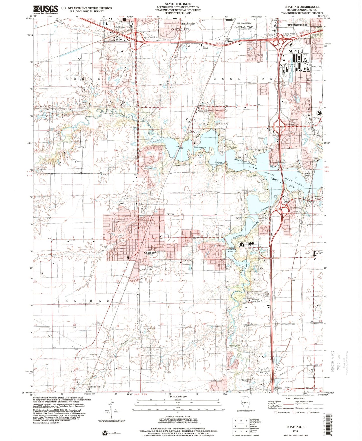
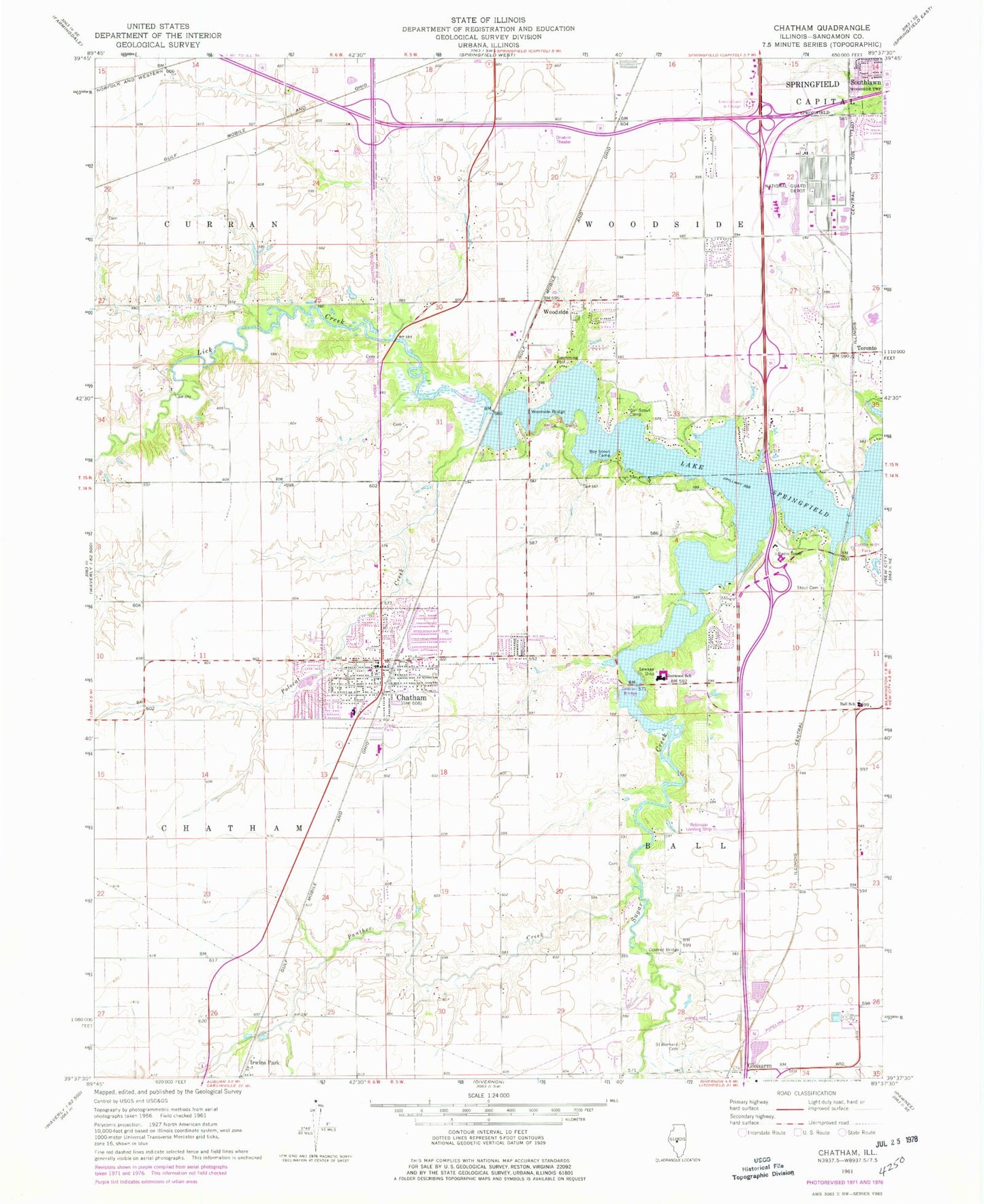
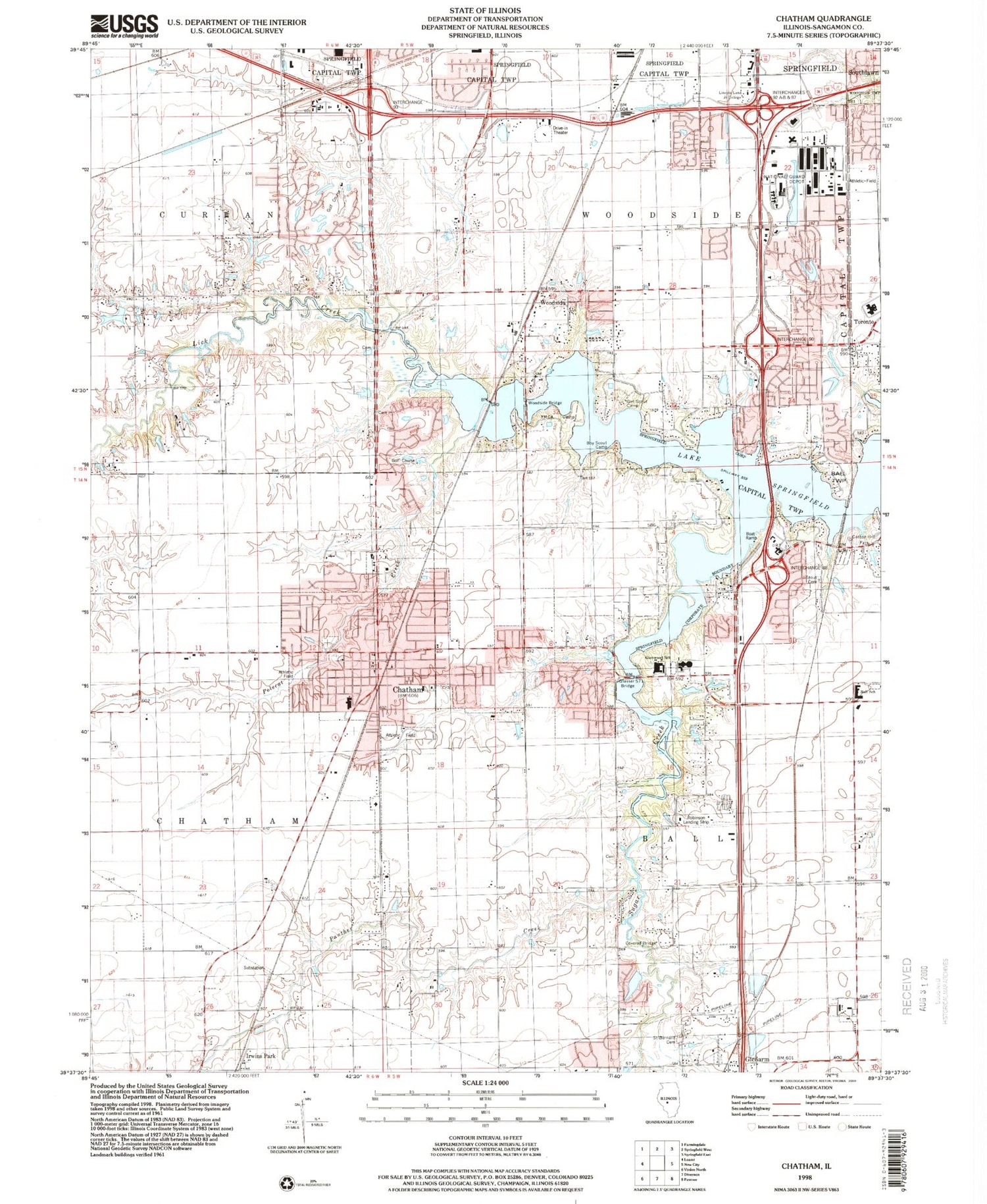
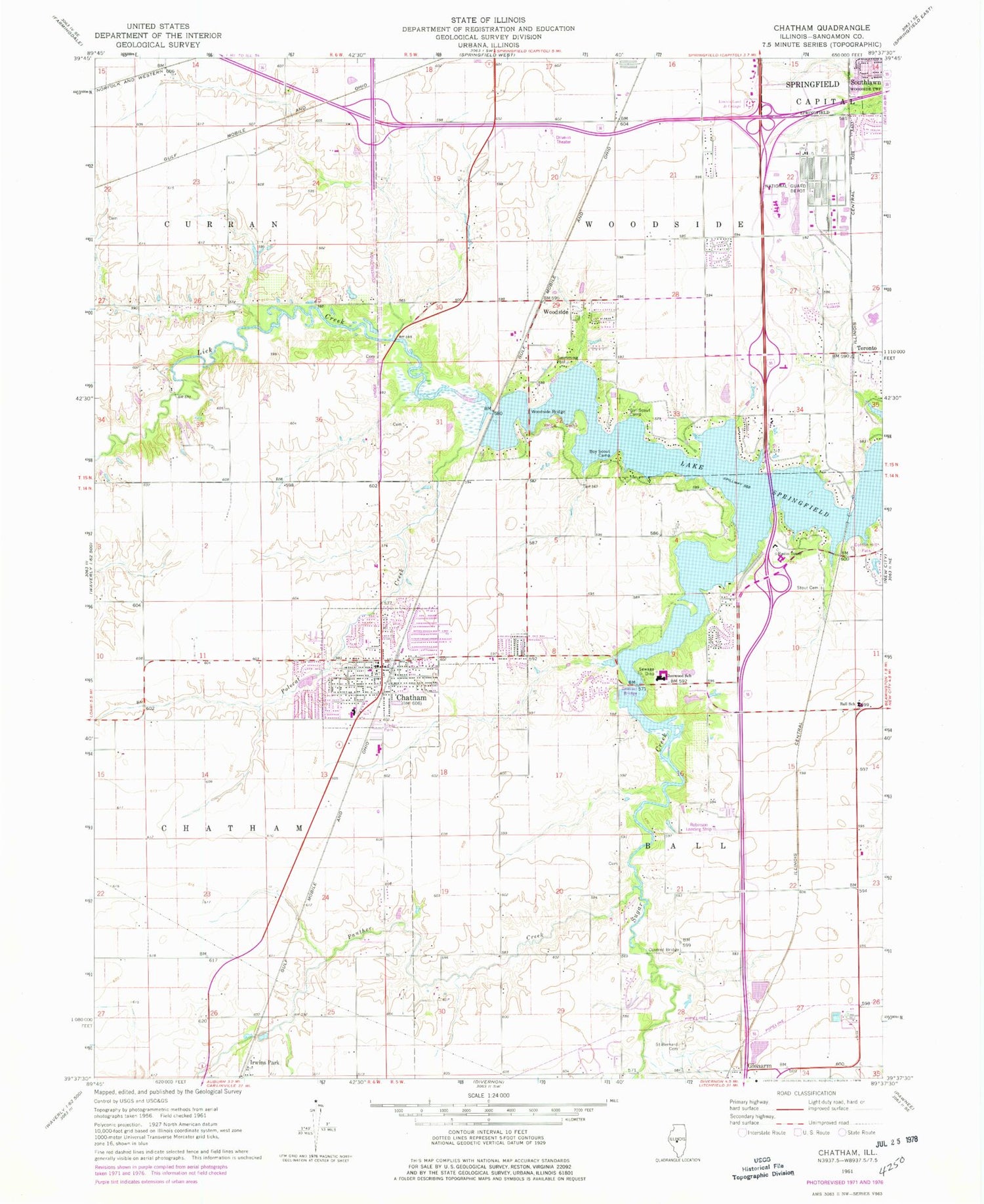
Classic USGS Chatham Illinois 7.5'x7.5' Topo Map
Couldn't load pickup availability
Historical USGS topographic quad map of Chatham in the state of Illinois. Map scale may vary for some years, but is generally around 1:24,000. Print size is approximately 24" x 27"
This quadrangle is in the following counties: Sangamon.
The map contains contour lines, roads, rivers, towns, and lakes. Printed on high-quality waterproof paper with UV fade-resistant inks, and shipped rolled.
Contains the following named places: Andrew McFarland Mental Health Center, Ball Elementary School, Beck Cemetery, Bethel Cemetery, Bridges Cemetery, Bridgeview Park, Chatham, Chatham Baptist Church, Chatham Community Cemetery, Chatham Elementary School, Chatham Fire Protection District, Chatham Memorial Cemetery, Chatham Police Department, Chatham Post Office, Chatham Presbyterian Church, Chatham United Methodist Church, Cherry Grove School, Cloyd Cemetery, Cockrell, Cotton Hill, Cotton Hill Park, Cummings School, Doctors Hospital, Doctors Hospital Heliport, Easley Cemetery, Enterprise School, Foster Cemetery, Glasser Bridge, Glenarm Post Office, Glenwood High School, Glenwood Junior High School, Harmony Cemetery, Irwins Park, Jones Cemetery, Lick Creek, Lincoln Land Community College, Lincoln Prairie Behavioral Health Center, Mount Zion School, New College School, O'Neal School, Panther Creek, Polecat Creek, Robinson RLA Airport, Route 66 Drive-In, Saint Bernard Cemetery, Shag Bark Farms Heliport, Smith Cemetery, Springfield Fire Department Station 11, Stout Cemetery, Stout Church, Sugar Creek Covered Bridge, Sunny Slope School, Toronto, Township of Ball, Township of Woodside, Village of Chatham, Woodside, Woodside Bridge, WQNA-FM (Springfield), WVEM-FM (Springfield), ZIP Codes: 62536, 62629


