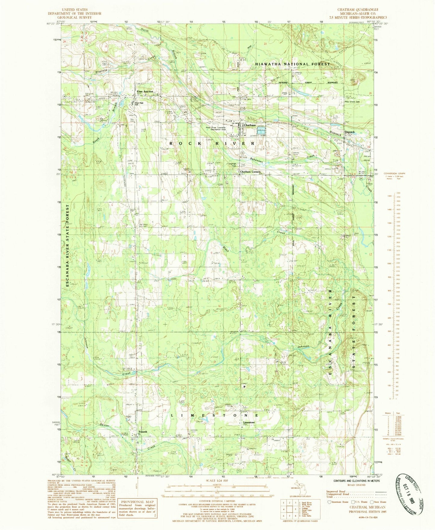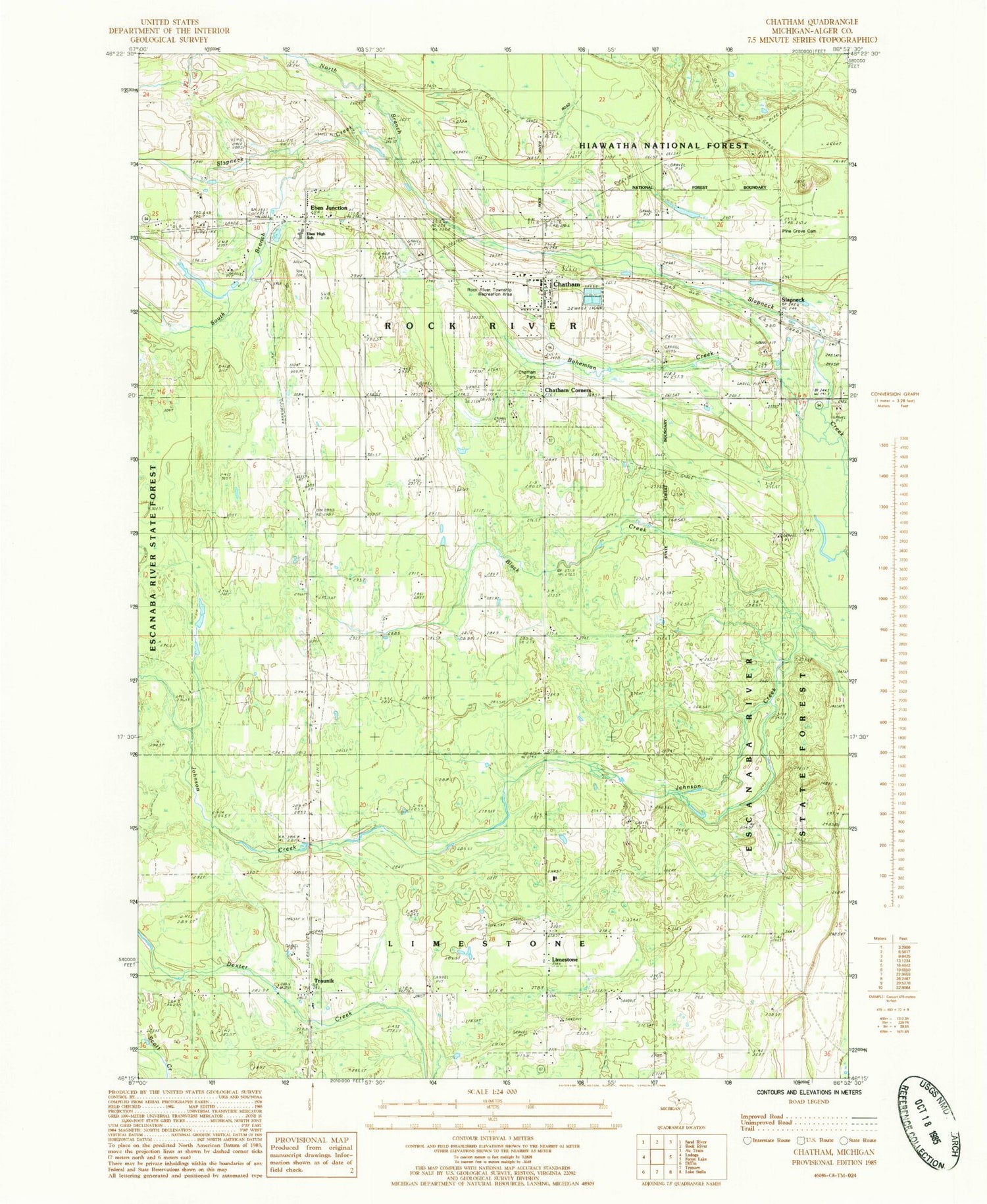
MyTopo
Classic USGS Chatham Michigan 7.5'x7.5' Topo Map
Couldn't load pickup availability
Historical USGS topographic quad map of Chatham in the state of Michigan. Map scale may vary for some years, but is generally around 1:24,000. Print size is approximately 24" x 27"
This quadrangle is in the following counties: Alger.
The map contains contour lines, roads, rivers, towns, and lakes. Printed on high-quality waterproof paper with UV fade-resistant inks, and shipped rolled.
Contains the following named places: Black Creek, Bohemian Creek, Calvary Free Lutheran Church, Chatham, Chatham Corners, Chatham Hill Ski Area, Chatham Landing Strip, Chatham Park, Chatham Post Office, Chatham Ski Trail, Chatham Station, Eben Junction, Eben Junction Post Office, Eben Junction Station, Ivars Creek, Ivars Pond, Johnson Creek, Laakso Lake, Limestone, Limestone Baptist Church, Limestone Post Office, Limestone Township Cemetery, Michigan State University UP Research Station, Mikulich General Store Historical Marker, North Branch Slapneck Creek, Old Apostolic Lutheran Church, Pine Grove Cemetery, Rock River Township Fire Department, Rock River Township Recreation Area, Sion Lutheran Church, Slapneck, South Branch Slapneck Creek, Superior Central School, Township of Rock River, Traunik, Traunik Post Office, Village of Chatham, ZIP Codes: 49816, 49825