MyTopo
Classic USGS Chatham New York 7.5'x7.5' Topo Map
Couldn't load pickup availability
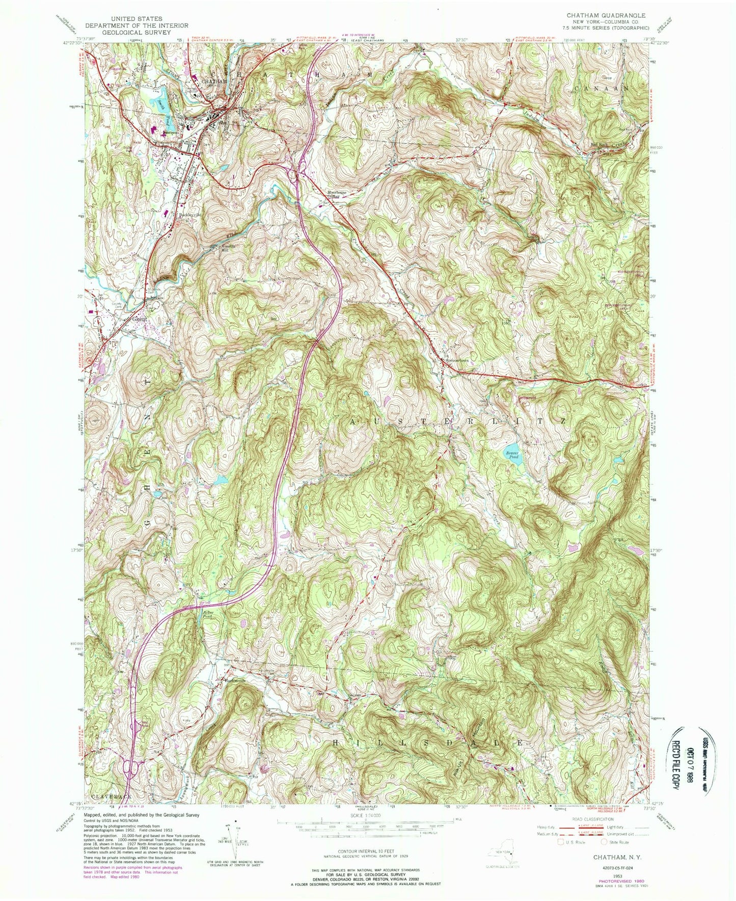
Historical USGS topographic quad map of Chatham in the state of New York. Typical map scale is 1:24,000, but may vary for certain years, if available. Print size: 24" x 27"
This quadrangle is in the following counties: Columbia.
The map contains contour lines, roads, rivers, towns, and lakes. Printed on high-quality waterproof paper with UV fade-resistant inks, and shipped rolled.
Contains the following named places: Acker Pond, Beaver Pond, Buckleyville, Chatham, German Church, Ghent, Harlemville, Harlemville Cemetery, Indian Creek, Kijk-Uit Mountain, Punsit Creek, Red Rock, Red Rock Cemetery, Saint James Cemetery, Smith Pond, Spencertown, Arnolds Mill, Moorhouse Corner, Town of Austerlitz, Ghent Census Designated Place, Village of Chatham, Emanuel Lutheran Church, Christ Emanuel Lutheran Church, Northern Columbia Evangelical Church, Saint Luke's Episcopal Church, Chatham Rural Cemetery, Chatham Middle School, Mary E Dardess Elementary School, Chatham High School, Edgewood Acres Mobile Home Park, Burvey Mobile Home Park, Hawthorne Valley Farm, Braleys Farm, Punsit Valley Farm, Spencertown Cemetery, Columbia County Cemetery, Bible Baptist Church, Chatham Methodist Church, Payne African Methodist Episcopal Church, New Concord Reformed Church, Reformed Church of Chatham, Chatham Public Library, Tracy Memorial Village Hall, Ghent Town Hall, Chatham Post Office, Ghent Post Office, Spencertown Academy (historical), Hawthorne Valley School, Chatham Village Fire Department, Chatham Rescue Squad, Ghent Volunteer Fire Company 1, Red Rock Volunteer Fire Company, Spencertown Fire Company, Spencertown Post Office


