MyTopo
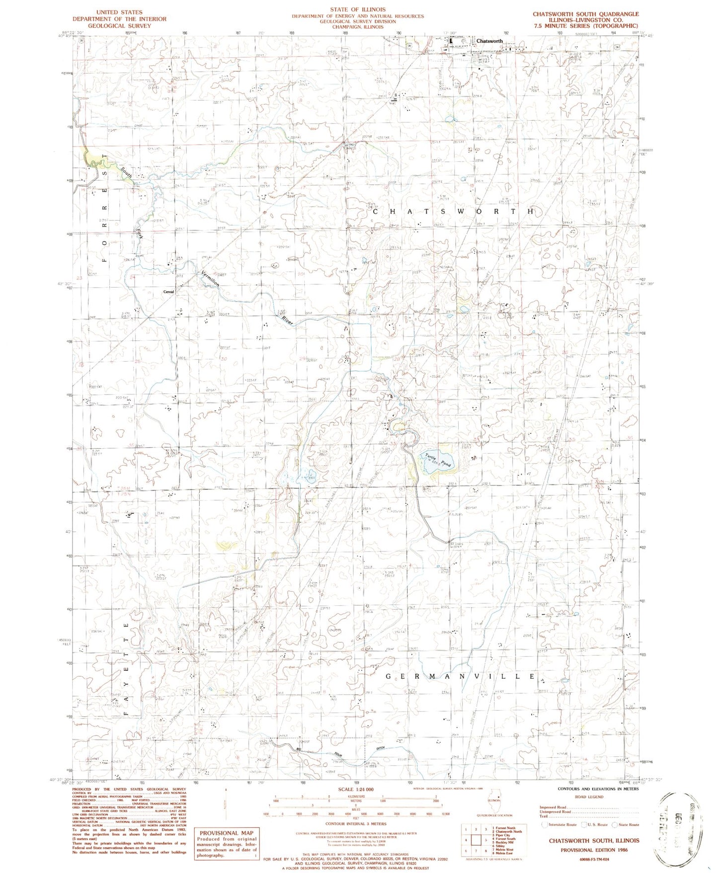
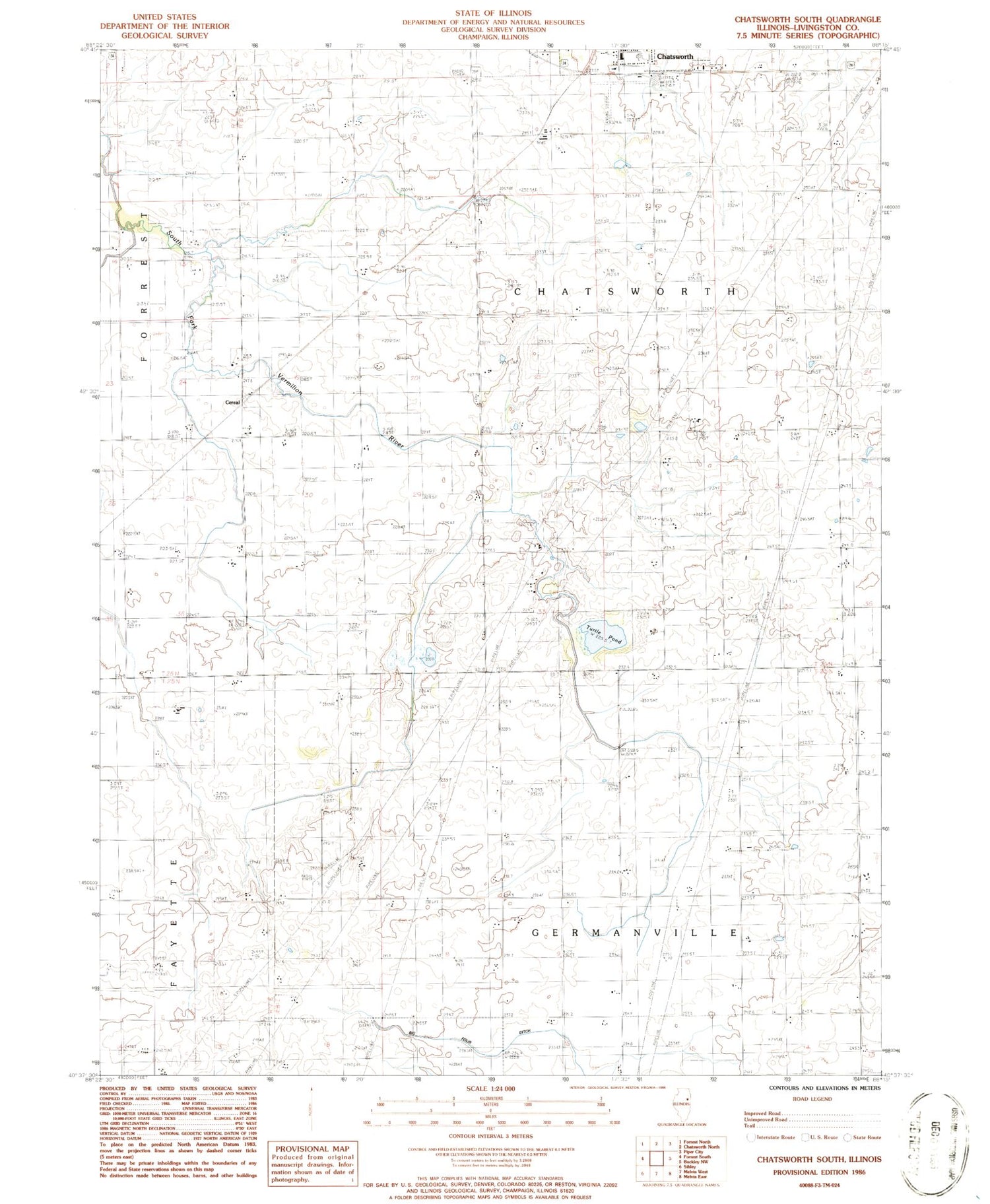
Classic USGS Chatsworth South Illinois 7.5'x7.5' Topo Map
Couldn't load pickup availability
Historical USGS topographic quad map of Chatsworth South in the state of Illinois. Map scale may vary for some years, but is generally around 1:24,000. Print size is approximately 24" x 27"
This quadrangle is in the following counties: Livingston.
The map contains contour lines, roads, rivers, towns, and lakes. Printed on high-quality waterproof paper with UV fade-resistant inks, and shipped rolled.
Contains the following named places: Allen School, Center School, Cereal, Cereal School, Chatsworth Grade School, Chatsworth RLA Airport, Cording School, Dassow School, Dietz School, Freehill School, Germanville Cemetery, Glabe School, Happy Home School, Mount Zion School, Phillips School, Pleasant Valley School, Pleasant View School, Quinn School, Ruppel School, Saint Patricks Cemetery, Stoddard Spring, Town of Chatsworth, Township of Chatsworth, Township of Germanville, Turtle Pond, ZIP Code: 60921