MyTopo
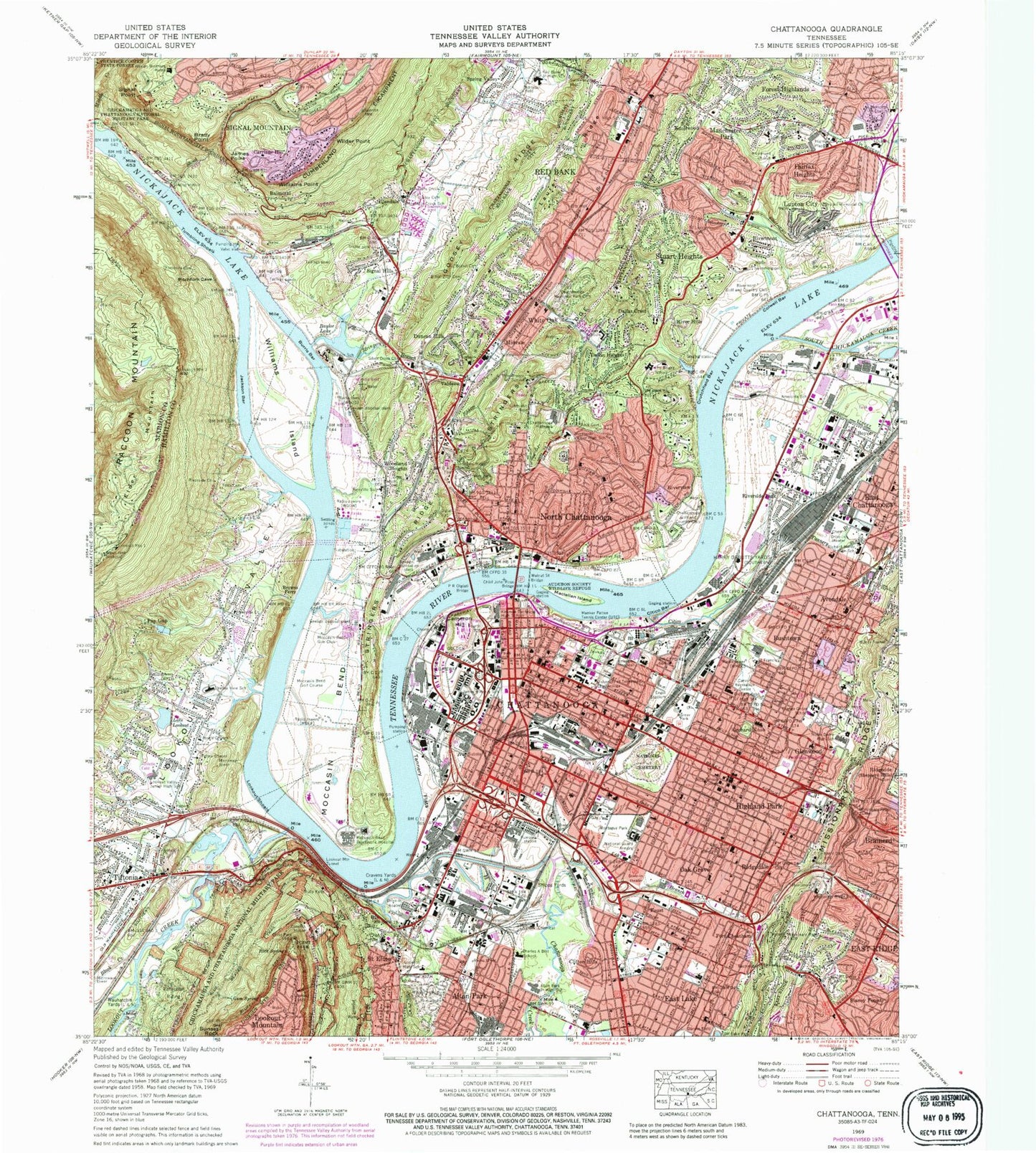
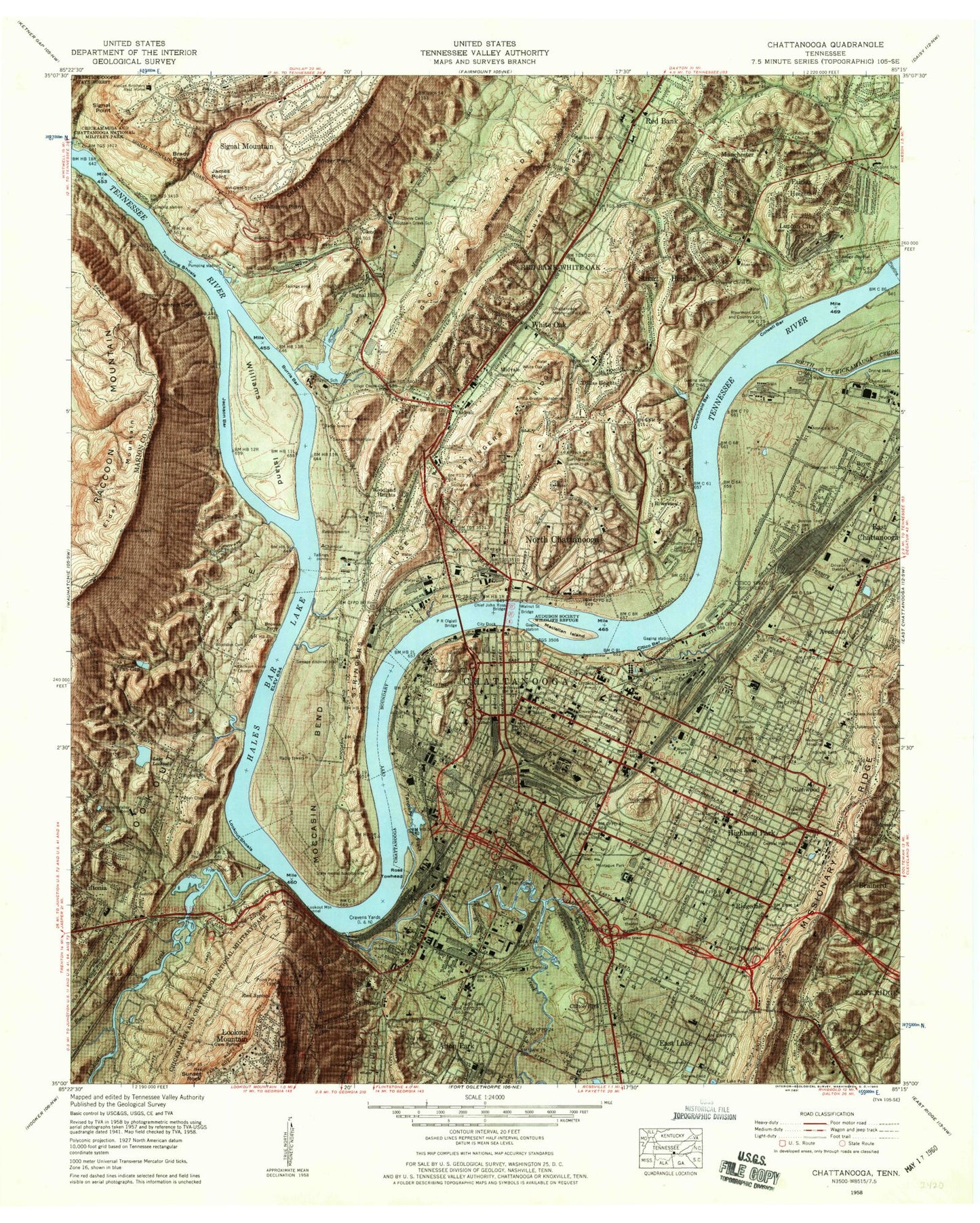
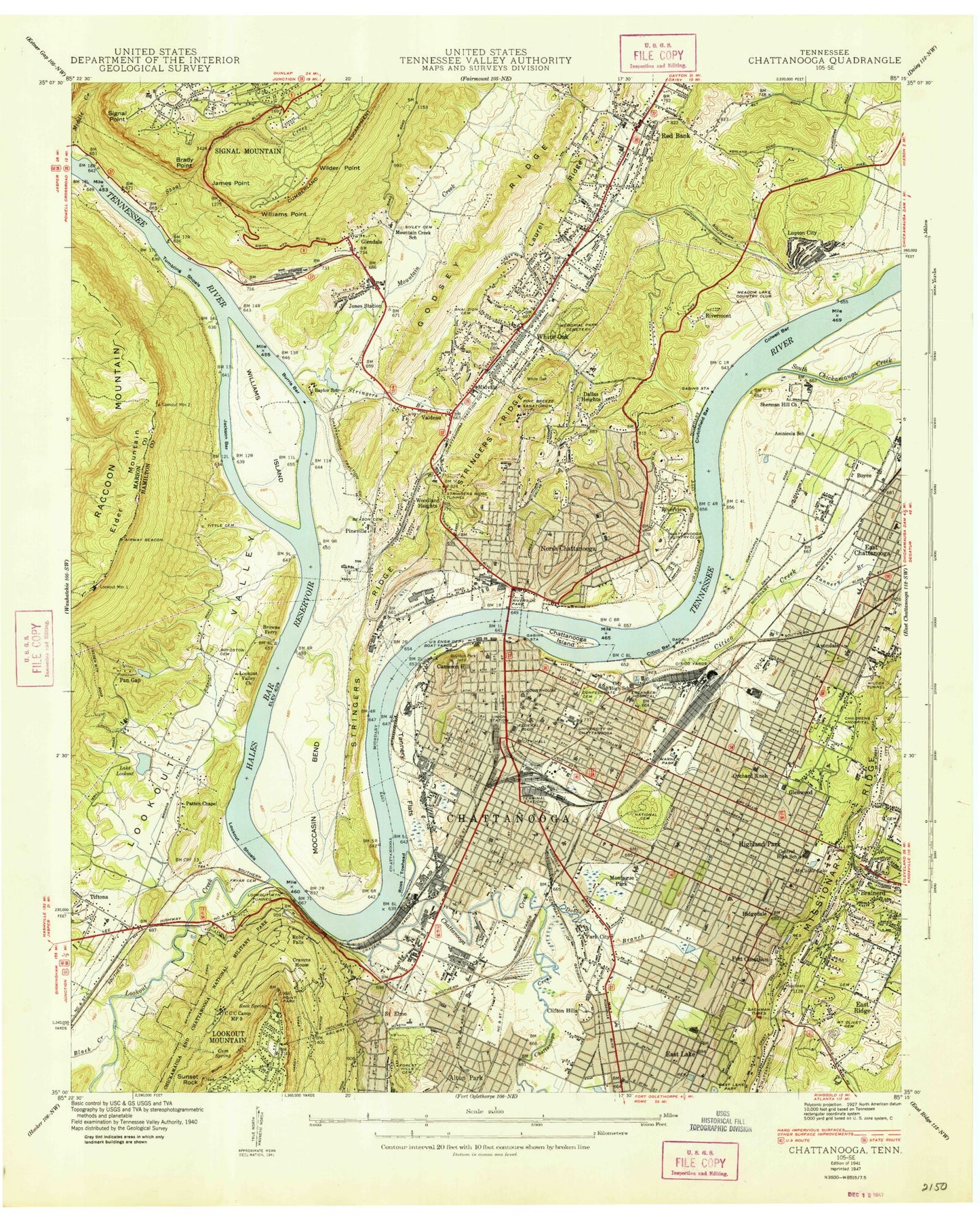
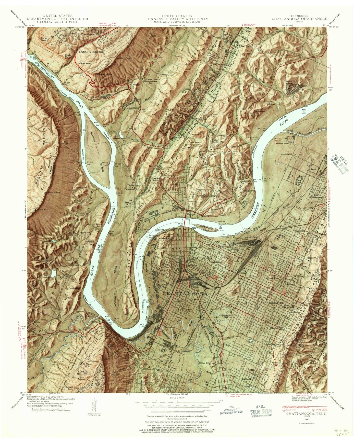
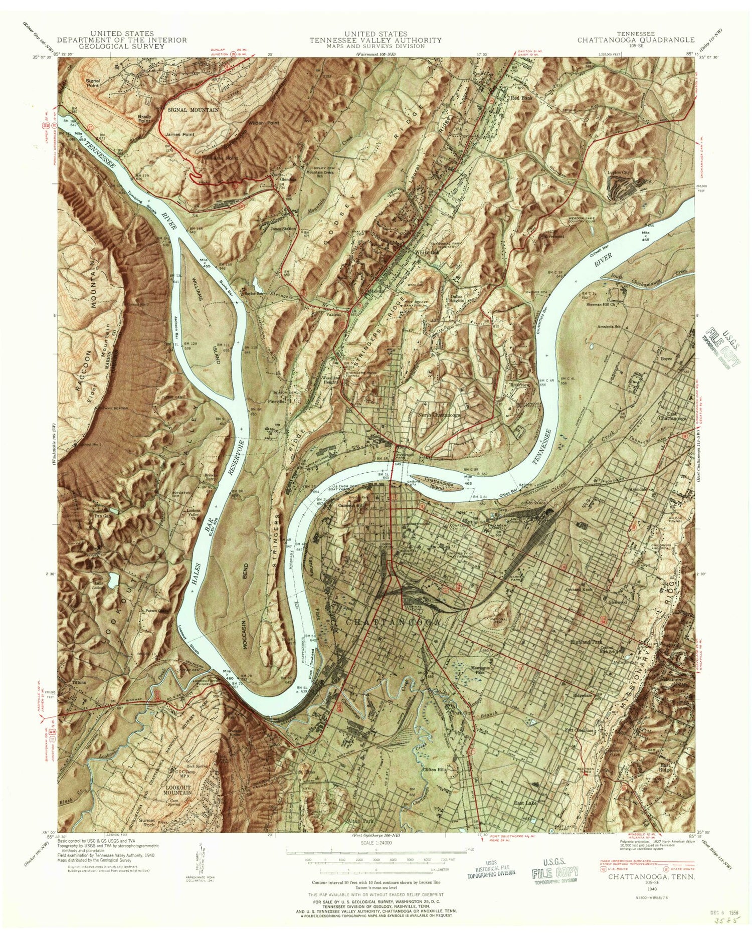
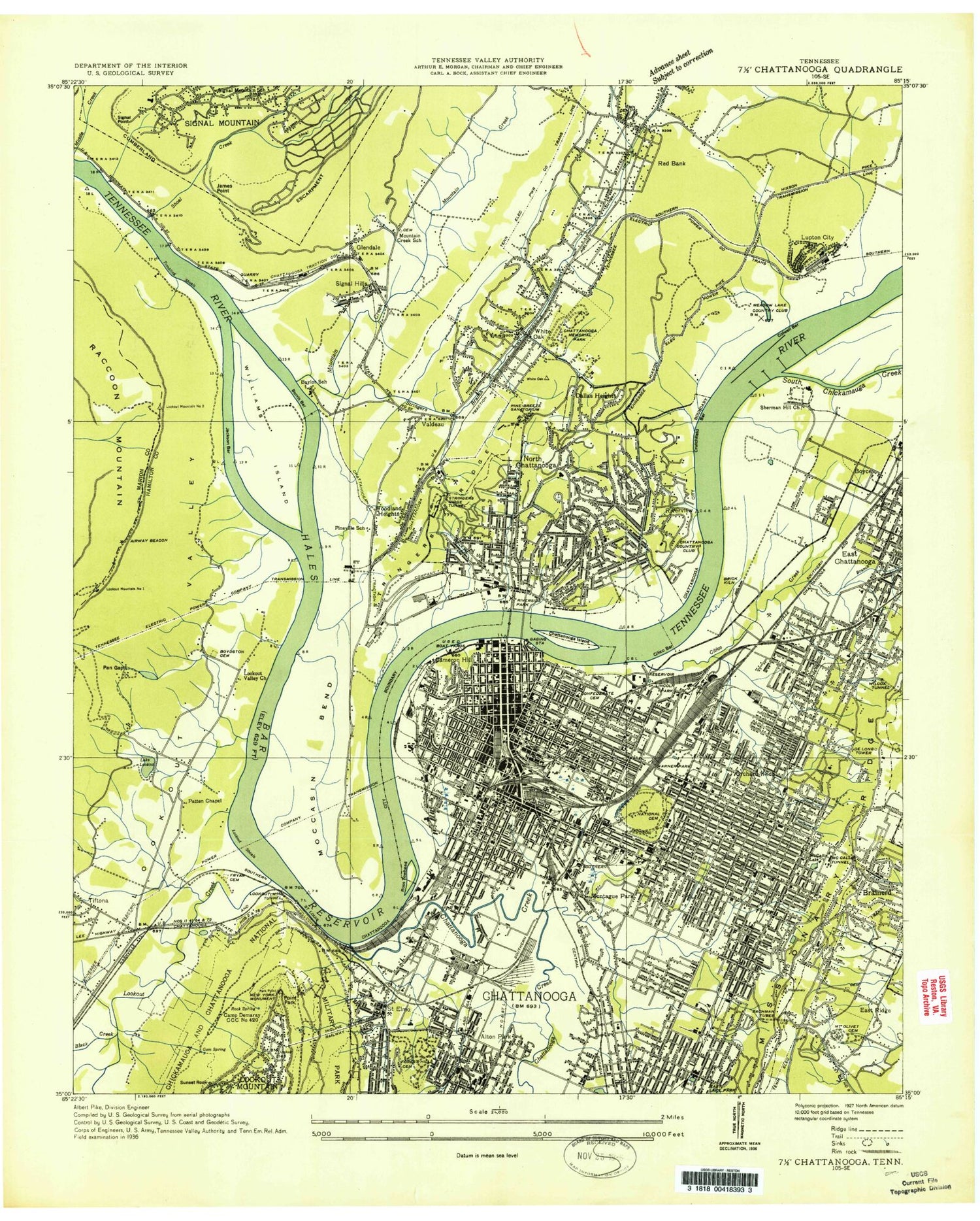
Classic USGS Chattanooga Tennessee 7.5'x7.5' Topo Map
Couldn't load pickup availability
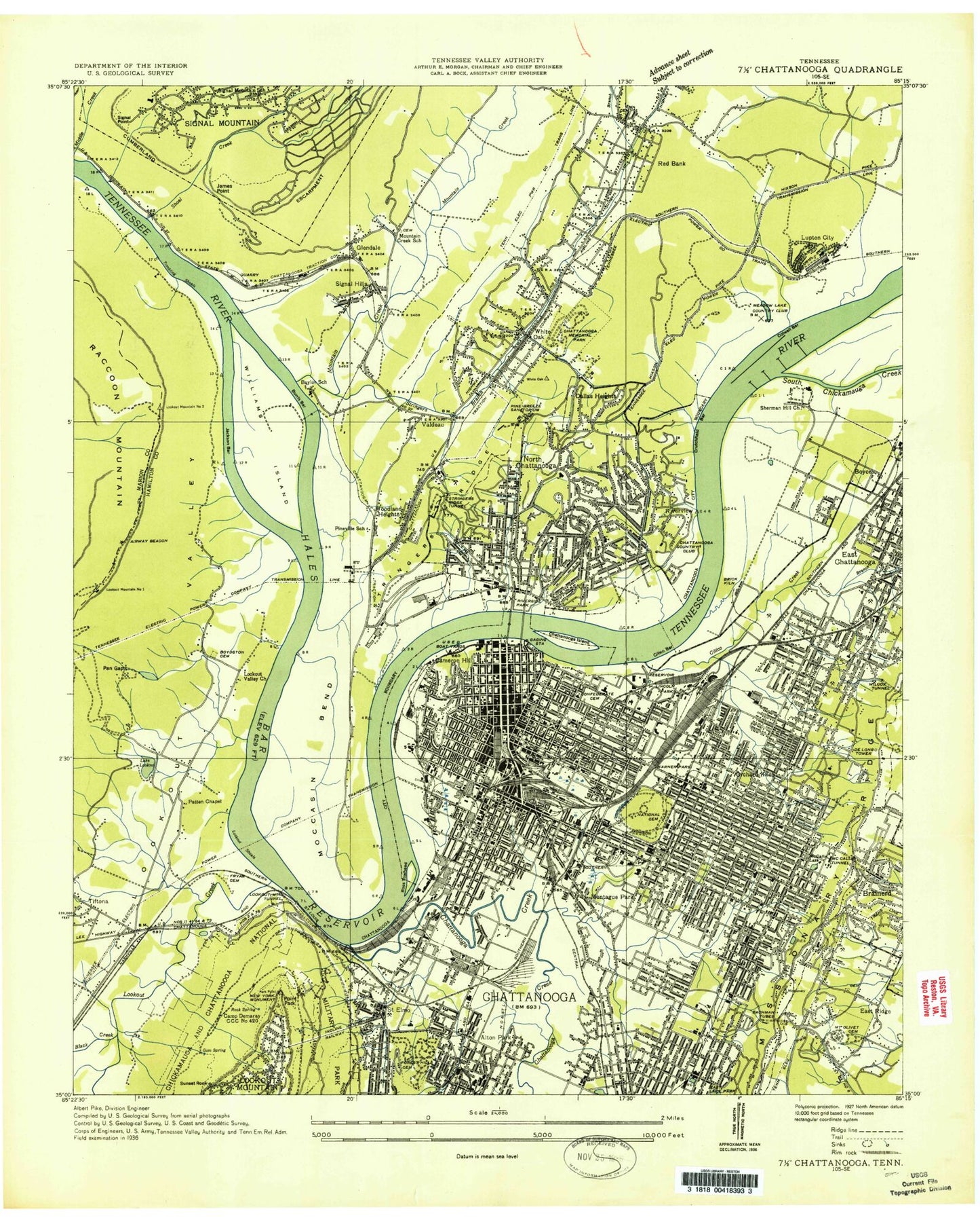
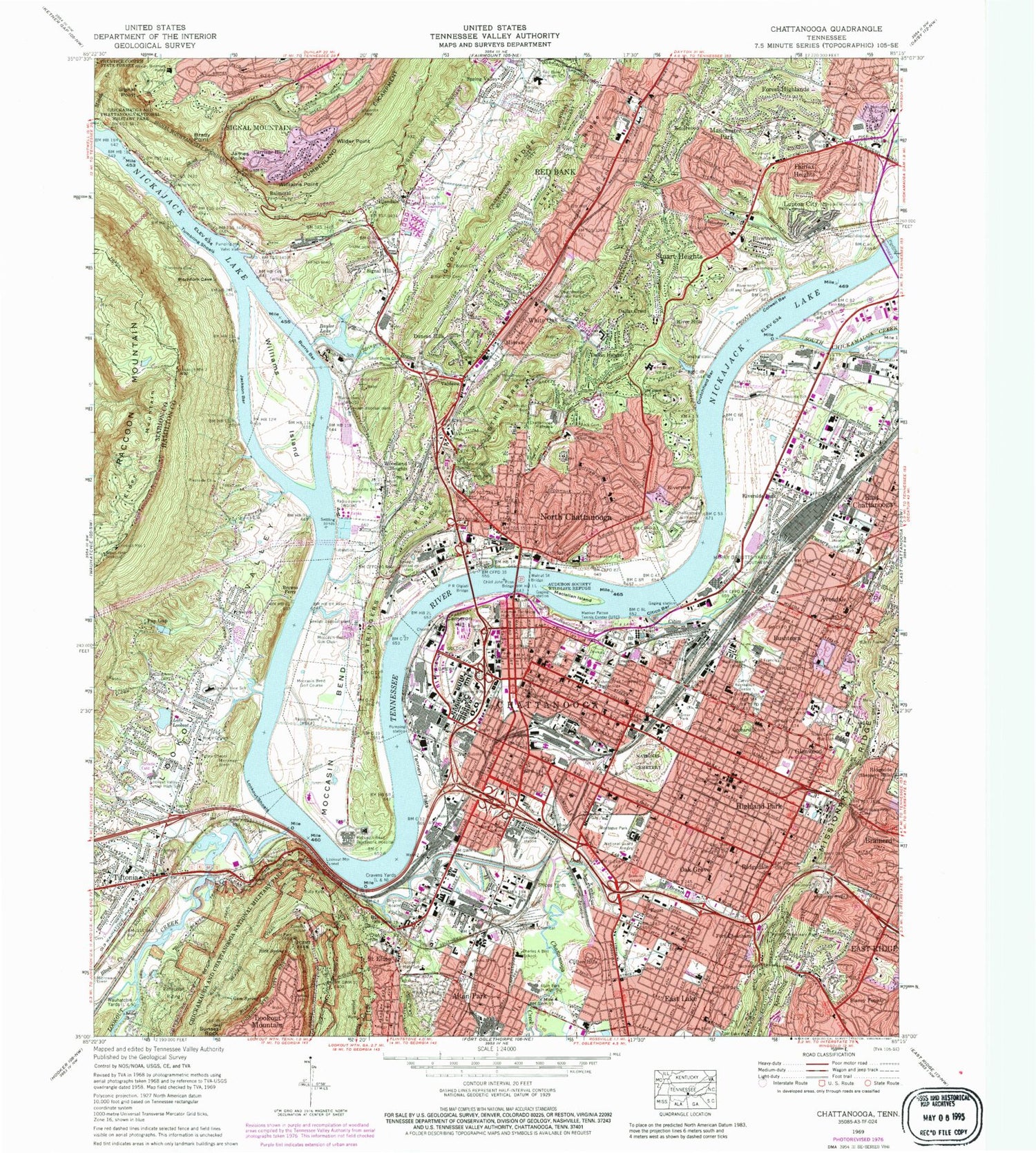
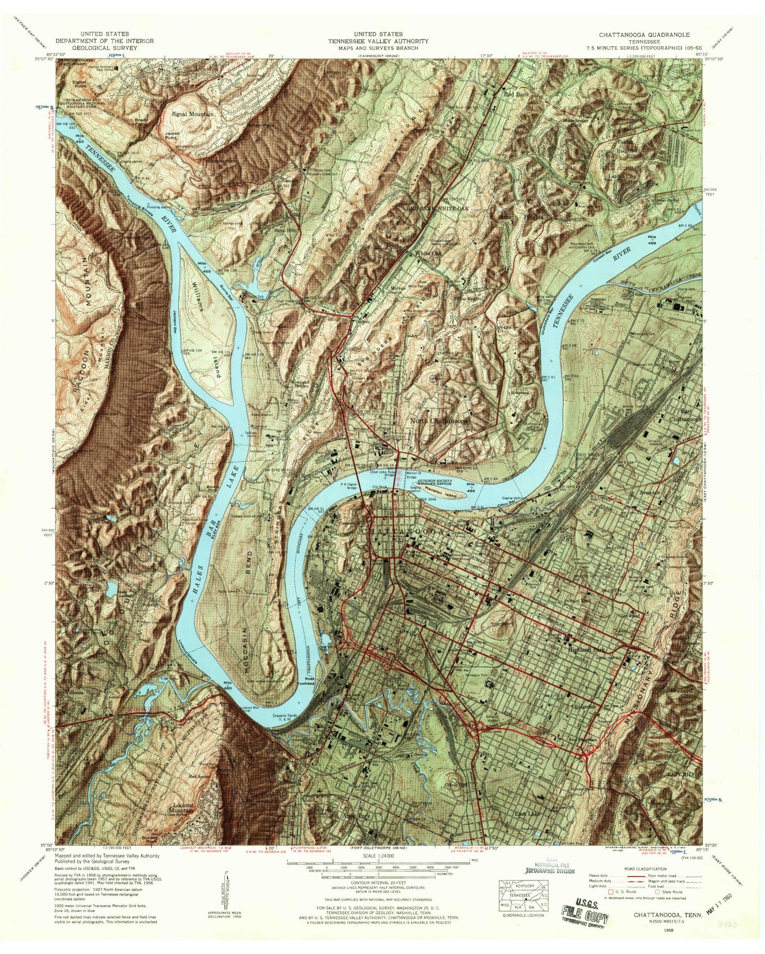
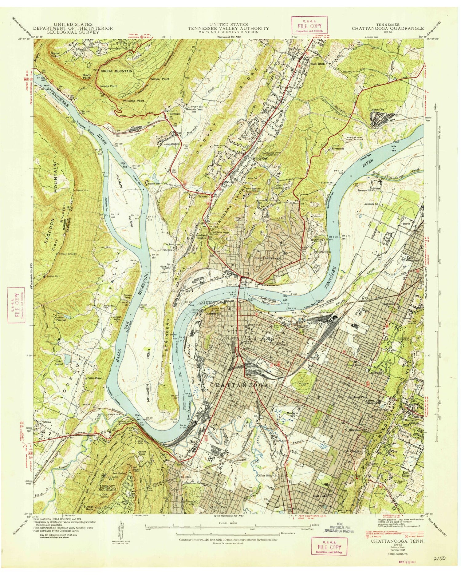
Historical USGS topographic quad map of Chattanooga in the state of Tennessee. Typical map scale is 1:24,000, but may vary for certain years, if available. Print size: 24" x 27"
This quadrangle is in the following counties: Hamilton, Marion.
The map contains contour lines, roads, rivers, towns, and lakes. Printed on high-quality waterproof paper with UV fade-resistant inks, and shipped rolled.
Contains the following named places: Chattanooga Valley, South Chickamauga Creek, Shipps Yards, Shoal Creek, Signal Hills, Signal Mountain, Signal Mountain, Signal Point, Silver Creek Church, Sivley Cemetery, Skyuka Trail, Spring Valley, Stringers Branch, Stringers Ridge, Stringers Ridge Tunnel, Stuart Heights, Sunset Rock, Tannery Branch, Tannery Flats, Tennessee Temple College, The Bright School, Thompson Cemetery, Tittle Cemetery, Tumbling Shoals, Valdeau, Walnut Street Bridge, Warner Park, White Oak, Wilcox Tunnel, Wilder Point, Williams Point, Woodland Heights, Alexian Brothers Home, Alton Park Junior High School, Amnicola School, Audubon Society Wildlife Refuge, Avondale, B'Nai Zion Cemetery, Bachman Tubes, Balmoral, Baylor Lake, Beason Cemetery, Beck Cemetery, Black Creek, Blaney Forest, Brady Point, Brooks Memorial Church, Browns Ferry, Burris Bar, Bushtown, Cameron Hill, Carriage Hill, Carver Recreation Center, Chattanooga Golf and Country Club, Chattanooga High School, Chattanooga Memorial Park Cemetery, Chief John Ross Bridge, Citico Bar, Citico Creek, Clifton Hills, Colwell Bar, Cravens House, Cravens Yards, Crutchfield Bar, Dallas Crest, Dallas Heights, Darwin Field, Dobbs Branch, Duncan Hills, East Lake, East Lake Park, East Ridge, East Side Elementary School, Engel Stadium, Fairfax Heights, Forest Highlands, Forest Hills Cemetery, Fort Cheatham, Foust, Fryar Cemetery, Glendale, Glenwood, Godsey Ridge, Golden Gateway, Gum Spring, Hardy Trail, Harry Debutts Yards, Highland Park, Highland Plaza, Howard High School, Jackson Bar, James Point, Kirkman Technical High School, Knollwood, Laurel Ridge, Lincoln Park, Lookout Junior High School, Lookout Mountain Tunnel, Lookout Shoals, Lookout Valley Junior High School, Lake Lookout, Lupton City, Maclellan Island, Manchester Park, Manker Patten Tennis Center, Memorial Church, Memorial Hospital, Middle Creek, Midvale, Missionary Ridge School, Missionary Ridge Tunnel, Moccasin Bend, Moccasin Bend Golf Course, Moccasin Bend Gun Club, Moccasin Bend Mental Health Institute, Montague Park, Mount Olivet Cemetery, Mountain Creek, Mountain Creek Church, Norris Field, North Chattanooga, Northside Junior High School, Notre Dame High School, Oak Grove, Orange Grove School, Orchard Knob, Orchard Junior High School, P R Olgiati Bridge, Pan Gap, Parkridge Medical Center, Patten Chapel, Pine Breeze School, Pineville School, Point Park, Red Bank, Red Bank Junior High School, Reflection Riding, Richard Hardy Junior High School, Ridgedale, Ridgeside, River Hills, Rivermont, Rivermont Church, Rivermont Golf and Country Club, Riverside Church, Riverside Church, Riverside High School, Riverside Park, Riverview, Rock Spring, Saint Francis School, Saint Jude School, Saint Lukes Church, Saint Pauls Church, Saint Peters Church, Lookout Mountain Airport (historical), Pan Gap Dam, Pan Gap Lake, Tiftonia, Tiftonia Church, University of Tennessee Chattanooga, Williams Island, Alton Park, Baylor School, Bethel Baptist Church, Lookout Creek Trail, Boyce, Chattanooga Creek, Erlanger Hospital Baroness Campus / Children's Hospital at Erlanger, Lookout Creek, Lake Lookout Dam, Chattanooga, Tuckegee (historical), Elder Mountain, Andrea Heights, Claremont, Colonial Village, Easton Terrace, Fairhills, Fountain Village, Hampton Heights, Lake Village, Lockwood Heights, McCallie Lake, Mountain Ridge, Oakhurst, Old Farm, Palisades, Pineville, Poindexter Heights, Quail Hollow, Ross Towhead, Valley Village, Ruby Falls, All Saints Academy, Alleyne Memorial African Methodist Episcopal Zion Church, Alton Park Church of Christ, Anna Safley Houston Museum, Asbury United Methodist Church, Ashland Terrace Christian Church, Avondale Baptist Church, Avondale Church of Christ, Avondale Elementary School, Bethel African Methodist Episcopal Church, Bethelehem Baptist Church, Boydston Cemetery, Calvin Donaldson Elementary School, Candler Memorial United Methodist Church, Central Church of Christ, Central High School (historical), Central Presbyterian Church, Chattanooga Municipal Building, Chattanooga Regional History Museum, Chattanooga-Hamilton County Convention and Trade Center, Chattanooga-Hamilton County Public Library, Chestnut Street Adult Education Center, Childrens Hospital, Christ Episcopal Church, Cleages Chapel African Methodist Episcopal Zion Church, Clifton Hill Baptist Church, Coolidge Park, Cross of Christ Lutheran Church, Davenport Elementary School, Dayton Plaza Shopping Center, HealthSouth Chattanooga Rehabilitation Hospital, Dodson Avenue Community Health Center, Kindred Hospital of Chattanooga, East Chattanooga Elementary School, East Lake Baptist Church, East Twenty-third Street Baptist Church, Ebenezer Baptist Church, Edgewood Baptist Church, Evangelical Methodist Church, Fairleigh Street Baptist Church, Fairview Baptist Church, Fellowship Missionary Baptist Church
